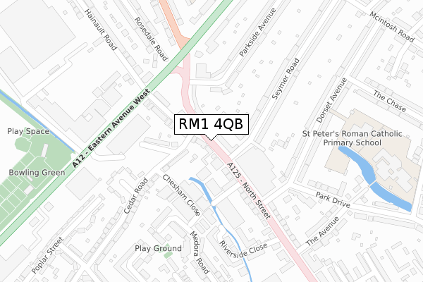
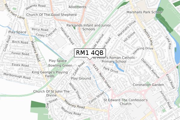
RM1 4QB is located in the Marshalls & Rise Park electoral ward, within the London borough of Havering and the English Parliamentary constituency of Romford. The Sub Integrated Care Board (ICB) Location is NHS North East London ICB - A3A8R and the police force is Metropolitan Police. This postcode has been in use since November 2019.


GetTheData
Source: OS Open Zoomstack (Ordnance Survey)
Licence: Open Government Licence (requires attribution)
Attribution: Contains OS data © Crown copyright and database right 2025
Source: Open Postcode Geo
Licence: Open Government Licence (requires attribution)
Attribution: Contains OS data © Crown copyright and database right 2025; Contains Royal Mail data © Royal Mail copyright and database right 2025; Source: Office for National Statistics licensed under the Open Government Licence v.3.0
| Easting | 550693 |
| Northing | 189546 |
| Latitude | 51.584630 |
| Longitude | 0.173687 |
GetTheData
Source: Open Postcode Geo
Licence: Open Government Licence
| Country | England |
| Postcode District | RM1 |
➜ See where RM1 is on a map | |
GetTheData
Source: Land Registry Price Paid Data
Licence: Open Government Licence
| Ward | Marshalls & Rise Park |
| Constituency | Romford |
GetTheData
Source: ONS Postcode Database
Licence: Open Government Licence
| Romford Bus Garage (Seymer Road) | Romford | 68m |
| Cedar Road (Rm5) (North Street) | Romford | 95m |
| Romford Bus Garage (North Street) | Romford | 130m |
| Romford Bus Garage | Romford | 232m |
| North Street Eastern Avenue | Rise Park | 248m |
| Romford Station | 1.3km |
| Gidea Park Station | 2.3km |
| Chadwell Heath Station | 3.6km |
GetTheData
Source: NaPTAN
Licence: Open Government Licence
| Percentage of properties with Next Generation Access | 0.0% |
| Percentage of properties with Superfast Broadband | 0.0% |
| Percentage of properties with Ultrafast Broadband | 0.0% |
| Percentage of properties with Full Fibre Broadband | 0.0% |
Superfast Broadband is between 30Mbps and 300Mbps
Ultrafast Broadband is > 300Mbps
| Percentage of properties unable to receive 2Mbps | 0.0% |
| Percentage of properties unable to receive 5Mbps | 0.0% |
| Percentage of properties unable to receive 10Mbps | 0.0% |
| Percentage of properties unable to receive 30Mbps | 0.0% |
GetTheData
Source: Ofcom
Licence: Ofcom Terms of Use (requires attribution)
GetTheData
Source: ONS Postcode Database
Licence: Open Government Licence


➜ Get more ratings from the Food Standards Agency
GetTheData
Source: Food Standards Agency
Licence: FSA terms & conditions
| Last Collection | |||
|---|---|---|---|
| Location | Mon-Fri | Sat | Distance |
| Crowlands Road Post Office | 17:30 | 12:00 | 331m |
| The Rotunda | 17:15 | 11:45 | 759m |
| Mawney Road Post Office | 17:15 | 11:30 | 770m |
GetTheData
Source: Dracos
Licence: Creative Commons Attribution-ShareAlike
The below table lists the International Territorial Level (ITL) codes (formerly Nomenclature of Territorial Units for Statistics (NUTS) codes) and Local Administrative Units (LAU) codes for RM1 4QB:
| ITL 1 Code | Name |
|---|---|
| TLI | London |
| ITL 2 Code | Name |
| TLI5 | Outer London - East and North East |
| ITL 3 Code | Name |
| TLI52 | Barking & Dagenham and Havering |
| LAU 1 Code | Name |
| E09000016 | Havering |
GetTheData
Source: ONS Postcode Directory
Licence: Open Government Licence
The below table lists the Census Output Area (OA), Lower Layer Super Output Area (LSOA), and Middle Layer Super Output Area (MSOA) for RM1 4QB:
| Code | Name | |
|---|---|---|
| OA | E00011214 | |
| LSOA | E01002245 | Havering 011B |
| MSOA | E02000474 | Havering 011 |
GetTheData
Source: ONS Postcode Directory
Licence: Open Government Licence
| RM1 4QD | North Street | 36m |
| RM1 4QA | North Street | 45m |
| RM7 7JR | Cedar Road | 107m |
| RM5 3AA | Hainault Road | 114m |
| RM7 7JP | Burnham Road | 123m |
| RM1 1DT | North Street | 133m |
| RM7 7PJ | Chesham Close | 181m |
| RM1 4LB | Seymer Road | 213m |
| RM1 4ND | Parkside Avenue | 218m |
| RM1 1EY | Riverside Close | 225m |
GetTheData
Source: Open Postcode Geo; Land Registry Price Paid Data
Licence: Open Government Licence