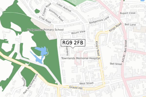
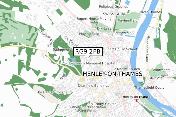
RG9 2FB is located in the Henley-on-Thames electoral ward, within the local authority district of South Oxfordshire and the English Parliamentary constituency of Henley. The Sub Integrated Care Board (ICB) Location is NHS Buckinghamshire, Oxfordshire and Berkshire West ICB - 10Q and the police force is Thames Valley. This postcode has been in use since January 2019.


GetTheData
Source: OS Open Zoomstack (Ordnance Survey)
Licence: Open Government Licence (requires attribution)
Attribution: Contains OS data © Crown copyright and database right 2025
Source: Open Postcode Geo
Licence: Open Government Licence (requires attribution)
Attribution: Contains OS data © Crown copyright and database right 2025; Contains Royal Mail data © Royal Mail copyright and database right 2025; Source: Office for National Statistics licensed under the Open Government Licence v.3.0
| Easting | 475718 |
| Northing | 182856 |
| Latitude | 51.539538 |
| Longitude | -0.909609 |
GetTheData
Source: Open Postcode Geo
Licence: Open Government Licence
| Country | England |
| Postcode District | RG9 |
➜ See where RG9 is on a map ➜ Where is Henley-on-Thames? | |
GetTheData
Source: Land Registry Price Paid Data
Licence: Open Government Licence
| Ward | Henley-on-thames |
| Constituency | Henley |
GetTheData
Source: ONS Postcode Database
Licence: Open Government Licence
| Henley Community Hospital (York Road) | Henley-on-thames | 66m |
| Mount View | Henley-on-thames | 123m |
| Mount View | Henley-on-thames | 134m |
| Crisp Road | Henley-on-thames | 286m |
| Luker Avenue | Henley-on-thames | 319m |
| Henley-on-Thames Station | 0.9km |
| Shiplake Station | 3.6km |
| Wargrave Station | 5.1km |
GetTheData
Source: NaPTAN
Licence: Open Government Licence
| Percentage of properties with Next Generation Access | 100.0% |
| Percentage of properties with Superfast Broadband | 100.0% |
| Percentage of properties with Ultrafast Broadband | 0.0% |
| Percentage of properties with Full Fibre Broadband | 0.0% |
Superfast Broadband is between 30Mbps and 300Mbps
Ultrafast Broadband is > 300Mbps
| Percentage of properties unable to receive 2Mbps | 0.0% |
| Percentage of properties unable to receive 5Mbps | 0.0% |
| Percentage of properties unable to receive 10Mbps | 0.0% |
| Percentage of properties unable to receive 30Mbps | 0.0% |
GetTheData
Source: Ofcom
Licence: Ofcom Terms of Use (requires attribution)
GetTheData
Source: ONS Postcode Database
Licence: Open Government Licence


➜ Get more ratings from the Food Standards Agency
GetTheData
Source: Food Standards Agency
Licence: FSA terms & conditions
| Last Collection | |||
|---|---|---|---|
| Location | Mon-Fri | Sat | Distance |
| Waitrose Stores | 18:15 | 11:00 | 276m |
| Gravel Hill | 17:15 | 11:00 | 281m |
| Market Place | 18:15 | 11:00 | 394m |
GetTheData
Source: Dracos
Licence: Creative Commons Attribution-ShareAlike
The below table lists the International Territorial Level (ITL) codes (formerly Nomenclature of Territorial Units for Statistics (NUTS) codes) and Local Administrative Units (LAU) codes for RG9 2FB:
| ITL 1 Code | Name |
|---|---|
| TLJ | South East (England) |
| ITL 2 Code | Name |
| TLJ1 | Berkshire, Buckinghamshire and Oxfordshire |
| ITL 3 Code | Name |
| TLJ14 | Oxfordshire CC |
| LAU 1 Code | Name |
| E07000179 | South Oxfordshire |
GetTheData
Source: ONS Postcode Directory
Licence: Open Government Licence
The below table lists the Census Output Area (OA), Lower Layer Super Output Area (LSOA), and Middle Layer Super Output Area (MSOA) for RG9 2FB:
| Code | Name | |
|---|---|---|
| OA | E00145934 | |
| LSOA | E01028651 | South Oxfordshire 016B |
| MSOA | E02005973 | South Oxfordshire 016 |
GetTheData
Source: ONS Postcode Directory
Licence: Open Government Licence
| RG9 2EJ | Mount View | 55m |
| RG9 2EH | Hop Gardens | 95m |
| RG9 2DP | Clarence Road | 106m |
| RG9 2EL | Mount View | 112m |
| RG9 2HB | Mount View | 129m |
| RG9 2DR | York Road | 144m |
| RG9 2HD | Mount View | 164m |
| RG9 2DW | Kings Road | 174m |
| RG9 2DS | Kings Close | 188m |
| RG9 2DQ | Kings Road | 195m |
GetTheData
Source: Open Postcode Geo; Land Registry Price Paid Data
Licence: Open Government Licence