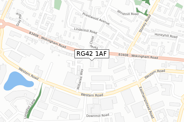
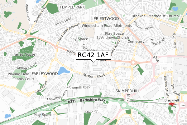
RG42 1AF is located in the Priestwood & Garth electoral ward, within the unitary authority of Bracknell Forest and the English Parliamentary constituency of Bracknell. The Sub Integrated Care Board (ICB) Location is NHS Frimley ICB - D4U1Y and the police force is Thames Valley. This postcode has been in use since August 2019.


GetTheData
Source: OS Open Zoomstack (Ordnance Survey)
Licence: Open Government Licence (requires attribution)
Attribution: Contains OS data © Crown copyright and database right 2025
Source: Open Postcode Geo
Licence: Open Government Licence (requires attribution)
Attribution: Contains OS data © Crown copyright and database right 2025; Contains Royal Mail data © Royal Mail copyright and database right 2025; Source: Office for National Statistics licensed under the Open Government Licence v.3.0
| Easting | 485851 |
| Northing | 169514 |
| Latitude | 51.418151 |
| Longitude | -0.766779 |
GetTheData
Source: Open Postcode Geo
Licence: Open Government Licence
| Country | England |
| Postcode District | RG42 |
➜ See where RG42 is on a map ➜ Where is Bracknell? | |
GetTheData
Source: Land Registry Price Paid Data
Licence: Open Government Licence
| Ward | Priestwood & Garth |
| Constituency | Bracknell |
GetTheData
Source: ONS Postcode Database
Licence: Open Government Licence
| Trinity Court (Wokingham Road) | Bracknell | 82m |
| Trinity Court (Wokingham Road) | Bracknell | 121m |
| Milbanke Way (Western Road) | Western Industrial Area | 195m |
| Easthampstead Road (Western Road) | Western Industrial Area | 203m |
| Milbanke Way (Western Road) | Western Industrial Area | 208m |
| Bracknell Station | 1.2km |
| Martins Heron Station | 3.2km |
GetTheData
Source: NaPTAN
Licence: Open Government Licence
GetTheData
Source: ONS Postcode Database
Licence: Open Government Licence


➜ Get more ratings from the Food Standards Agency
GetTheData
Source: Food Standards Agency
Licence: FSA terms & conditions
| Last Collection | |||
|---|---|---|---|
| Location | Mon-Fri | Sat | Distance |
| Rounds Hill | 16:15 | 11:00 | 221m |
| Bp Wokingham Road | 16:30 | 12:00 | 359m |
| Windlesham Road Post Office | 17:15 | 12:00 | 412m |
GetTheData
Source: Dracos
Licence: Creative Commons Attribution-ShareAlike
The below table lists the International Territorial Level (ITL) codes (formerly Nomenclature of Territorial Units for Statistics (NUTS) codes) and Local Administrative Units (LAU) codes for RG42 1AF:
| ITL 1 Code | Name |
|---|---|
| TLJ | South East (England) |
| ITL 2 Code | Name |
| TLJ1 | Berkshire, Buckinghamshire and Oxfordshire |
| ITL 3 Code | Name |
| TLJ11 | Berkshire |
| LAU 1 Code | Name |
| E06000036 | Bracknell Forest |
GetTheData
Source: ONS Postcode Directory
Licence: Open Government Licence
The below table lists the Census Output Area (OA), Lower Layer Super Output Area (LSOA), and Middle Layer Super Output Area (MSOA) for RG42 1AF:
| Code | Name | |
|---|---|---|
| OA | E00082050 | |
| LSOA | E01016242 | Bracknell Forest 004D |
| MSOA | E02003355 | Bracknell Forest 004 |
GetTheData
Source: ONS Postcode Directory
Licence: Open Government Licence
| RG12 1RP | Milbanke Way | 78m |
| RG42 1UR | Fanes Close | 93m |
| RG42 1PD | Rounds Hill | 133m |
| RG42 1UN | Lindenhill Road | 136m |
| RG42 1PP | Wokingham Road | 177m |
| RG42 1UP | Spencer Road | 181m |
| RG42 1PR | Ingress Vale | 192m |
| RG42 1UJ | Brook Green | 199m |
| RG42 1UT | Lindenhill Road | 203m |
| RG42 1UH | Priestwood Avenue | 204m |
GetTheData
Source: Open Postcode Geo; Land Registry Price Paid Data
Licence: Open Government Licence