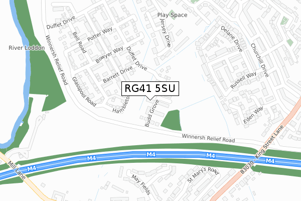
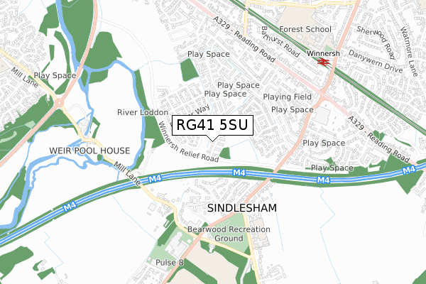
RG41 5SU is located in the Winnersh electoral ward, within the unitary authority of Wokingham and the English Parliamentary constituency of Wokingham. The Sub Integrated Care Board (ICB) Location is NHS Buckinghamshire, Oxfordshire and Berkshire West ICB - 15A and the police force is Thames Valley. This postcode has been in use since October 2018.


GetTheData
Source: OS Open Zoomstack (Ordnance Survey)
Licence: Open Government Licence (requires attribution)
Attribution: Contains OS data © Crown copyright and database right 2025
Source: Open Postcode Geo
Licence: Open Government Licence (requires attribution)
Attribution: Contains OS data © Crown copyright and database right 2025; Contains Royal Mail data © Royal Mail copyright and database right 2025; Source: Office for National Statistics licensed under the Open Government Licence v.3.0
| Easting | 477495 |
| Northing | 170295 |
| Latitude | 51.426375 |
| Longitude | -0.886745 |
GetTheData
Source: Open Postcode Geo
Licence: Open Government Licence
| Country | England |
| Postcode District | RG41 |
➜ See where RG41 is on a map ➜ Where is Winnersh? | |
GetTheData
Source: Land Registry Price Paid Data
Licence: Open Government Licence
| Ward | Winnersh |
| Constituency | Wokingham |
GetTheData
Source: ONS Postcode Database
Licence: Open Government Licence
| Churchill Drive | Winnersh | 385m |
| King Street Lane | Sindlesham | 387m |
| King Street Lane | Sindlesham | 395m |
| Chatsworth Avenue | Winnersh | 455m |
| Mole Road - Mayfields (Mole Road) | Sindlesham | 462m |
| Winnersh Station | 0.8km |
| Winnersh Triangle Station | 1.2km |
| Earley Station | 2.7km |
GetTheData
Source: NaPTAN
Licence: Open Government Licence
| Percentage of properties with Next Generation Access | 100.0% |
| Percentage of properties with Superfast Broadband | 100.0% |
| Percentage of properties with Ultrafast Broadband | 100.0% |
| Percentage of properties with Full Fibre Broadband | 100.0% |
Superfast Broadband is between 30Mbps and 300Mbps
Ultrafast Broadband is > 300Mbps
| Percentage of properties unable to receive 2Mbps | 0.0% |
| Percentage of properties unable to receive 5Mbps | 0.0% |
| Percentage of properties unable to receive 10Mbps | 0.0% |
| Percentage of properties unable to receive 30Mbps | 0.0% |
GetTheData
Source: Ofcom
Licence: Ofcom Terms of Use (requires attribution)
GetTheData
Source: ONS Postcode Database
Licence: Open Government Licence


➜ Get more ratings from the Food Standards Agency
GetTheData
Source: Food Standards Agency
Licence: FSA terms & conditions
| Last Collection | |||
|---|---|---|---|
| Location | Mon-Fri | Sat | Distance |
| Winnersh Post Office | 17:00 | 11:45 | 626m |
| Wharfdale Road | 18:30 | 11:30 | 1,144m |
| Wharfedale Road | 1,144m | ||
GetTheData
Source: Dracos
Licence: Creative Commons Attribution-ShareAlike
The below table lists the International Territorial Level (ITL) codes (formerly Nomenclature of Territorial Units for Statistics (NUTS) codes) and Local Administrative Units (LAU) codes for RG41 5SU:
| ITL 1 Code | Name |
|---|---|
| TLJ | South East (England) |
| ITL 2 Code | Name |
| TLJ1 | Berkshire, Buckinghamshire and Oxfordshire |
| ITL 3 Code | Name |
| TLJ11 | Berkshire |
| LAU 1 Code | Name |
| E06000041 | Wokingham |
GetTheData
Source: ONS Postcode Directory
Licence: Open Government Licence
The below table lists the Census Output Area (OA), Lower Layer Super Output Area (LSOA), and Middle Layer Super Output Area (MSOA) for RG41 5SU:
| Code | Name | |
|---|---|---|
| OA | E00084295 | |
| LSOA | E01016703 | Wokingham 009D |
| MSOA | E02003447 | Wokingham 009 |
GetTheData
Source: ONS Postcode Directory
Licence: Open Government Licence
| RG41 5BZ | St Catherines Close | 226m |
| RG41 5FR | Jersey Drive | 234m |
| RG41 5FT | Guernsey Way | 248m |
| RG41 5SW | Welby Crescent | 255m |
| RG41 5GQ | Jersey Drive | 259m |
| RG41 5PQ | Eden Way | 321m |
| RG41 5BF | Mayfield Mews | 332m |
| RG41 5AT | Delane Drive | 332m |
| RG41 5SN | Russell Way | 334m |
| RG41 5DA | St Marys Road | 338m |
GetTheData
Source: Open Postcode Geo; Land Registry Price Paid Data
Licence: Open Government Licence