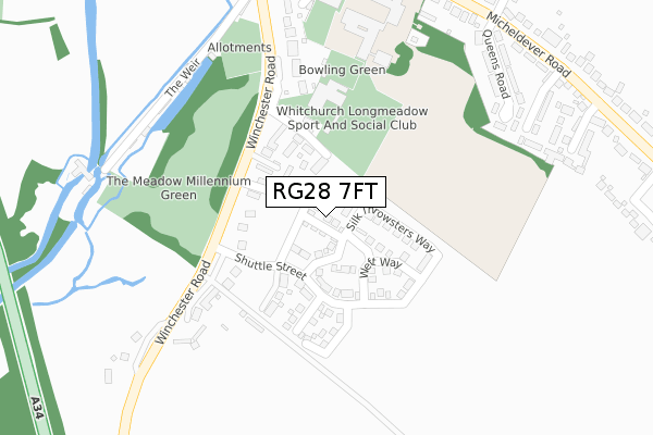
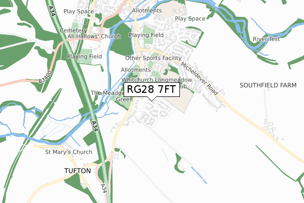
RG28 7FT is located in the Whitchurch, Overton & Laverstoke electoral ward, within the local authority district of Basingstoke and Deane and the English Parliamentary constituency of North West Hampshire. The Sub Integrated Care Board (ICB) Location is NHS Hampshire and Isle of Wight ICB - D9Y0V and the police force is Hampshire. This postcode has been in use since March 2018.


GetTheData
Source: OS Open Zoomstack (Ordnance Survey)
Licence: Open Government Licence (requires attribution)
Attribution: Contains OS data © Crown copyright and database right 2025
Source: Open Postcode Geo
Licence: Open Government Licence (requires attribution)
Attribution: Contains OS data © Crown copyright and database right 2025; Contains Royal Mail data © Royal Mail copyright and database right 2025; Source: Office for National Statistics licensed under the Open Government Licence v.3.0
| Easting | 446441 |
| Northing | 147219 |
| Latitude | 51.222281 |
| Longitude | -1.336361 |
GetTheData
Source: Open Postcode Geo
Licence: Open Government Licence
| Country | England |
| Postcode District | RG28 |
➜ See where RG28 is on a map | |
GetTheData
Source: Land Registry Price Paid Data
Licence: Open Government Licence
| Ward | Whitchurch, Overton & Laverstoke |
| Constituency | North West Hampshire |
GetTheData
Source: ONS Postcode Database
Licence: Open Government Licence
| Charcot Close (Winchester Road) | Tufton | 223m |
| Charcot Close (Winchester Road) | Tufton | 227m |
| Micheldever Road (Winchester Road) | Whitchurch | 375m |
| Micheldever Road (Winchester Road) | Whitchurch | 376m |
| Testbourne School (Micheldever Road) | Tufton | 385m |
| Whitchurch (Hants) Station | 1.7km |
GetTheData
Source: NaPTAN
Licence: Open Government Licence
| Percentage of properties with Next Generation Access | 100.0% |
| Percentage of properties with Superfast Broadband | 100.0% |
| Percentage of properties with Ultrafast Broadband | 100.0% |
| Percentage of properties with Full Fibre Broadband | 100.0% |
Superfast Broadband is between 30Mbps and 300Mbps
Ultrafast Broadband is > 300Mbps
| Percentage of properties unable to receive 2Mbps | 0.0% |
| Percentage of properties unable to receive 5Mbps | 0.0% |
| Percentage of properties unable to receive 10Mbps | 0.0% |
| Percentage of properties unable to receive 30Mbps | 0.0% |
GetTheData
Source: Ofcom
Licence: Ofcom Terms of Use (requires attribution)
GetTheData
Source: ONS Postcode Database
Licence: Open Government Licence


➜ Get more ratings from the Food Standards Agency
GetTheData
Source: Food Standards Agency
Licence: FSA terms & conditions
| Last Collection | |||
|---|---|---|---|
| Location | Mon-Fri | Sat | Distance |
| Winchester Road | 16:00 | 11:00 | 388m |
| Whitchurch Post Office | 17:00 | 11:30 | 761m |
| Whitchurch Delivery Office | 17:00 | 12:00 | 822m |
GetTheData
Source: Dracos
Licence: Creative Commons Attribution-ShareAlike
The below table lists the International Territorial Level (ITL) codes (formerly Nomenclature of Territorial Units for Statistics (NUTS) codes) and Local Administrative Units (LAU) codes for RG28 7FT:
| ITL 1 Code | Name |
|---|---|
| TLJ | South East (England) |
| ITL 2 Code | Name |
| TLJ3 | Hampshire and Isle of Wight |
| ITL 3 Code | Name |
| TLJ37 | North Hampshire |
| LAU 1 Code | Name |
| E07000084 | Basingstoke and Deane |
GetTheData
Source: ONS Postcode Directory
Licence: Open Government Licence
The below table lists the Census Output Area (OA), Lower Layer Super Output Area (LSOA), and Middle Layer Super Output Area (MSOA) for RG28 7FT:
| Code | Name | |
|---|---|---|
| OA | E00114719 | |
| LSOA | E01022564 | Basingstoke and Deane 020C |
| MSOA | E02004694 | Basingstoke and Deane 020 |
GetTheData
Source: ONS Postcode Directory
Licence: Open Government Licence
| RG28 7RG | Charlcot | 115m |
| RG28 7RQ | Webbs Farm Close | 125m |
| RG28 7RB | Winchester Road | 135m |
| RG28 7RA | The Weir | 303m |
| RG28 7JQ | Queens Road | 331m |
| RG28 7JA | The Weir | 345m |
| RG28 7JB | Winchester Road | 354m |
| RG28 7HS | Cherry Orchard | 362m |
| RG28 7HY | Knowle View | 374m |
| RG28 7HZ | Testbourne Court | 376m |
GetTheData
Source: Open Postcode Geo; Land Registry Price Paid Data
Licence: Open Government Licence