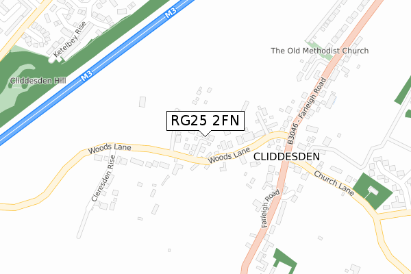
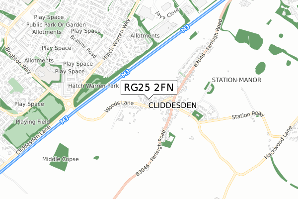
RG25 2FN is located in the Basing & Upton Grey electoral ward, within the local authority district of Basingstoke and Deane and the English Parliamentary constituency of North East Hampshire. The Sub Integrated Care Board (ICB) Location is NHS Hampshire and Isle of Wight ICB - D9Y0V and the police force is Hampshire. This postcode has been in use since April 2020.


GetTheData
Source: OS Open Zoomstack (Ordnance Survey)
Licence: Open Government Licence (requires attribution)
Attribution: Contains OS data © Crown copyright and database right 2025
Source: Open Postcode Geo
Licence: Open Government Licence (requires attribution)
Attribution: Contains OS data © Crown copyright and database right 2025; Contains Royal Mail data © Royal Mail copyright and database right 2025; Source: Office for National Statistics licensed under the Open Government Licence v.3.0
| Easting | 462893 |
| Northing | 149207 |
| Latitude | 51.238585 |
| Longitude | -1.100455 |
GetTheData
Source: Open Postcode Geo
Licence: Open Government Licence
| Country | England |
| Postcode District | RG25 |
➜ See where RG25 is on a map ➜ Where is Cliddesden? | |
GetTheData
Source: Land Registry Price Paid Data
Licence: Open Government Licence
| Ward | Basing & Upton Grey |
| Constituency | North East Hampshire |
GetTheData
Source: ONS Postcode Database
Licence: Open Government Licence
1, LANGDALE RISE, CLIDDESDEN, BASINGSTOKE, RG25 2FN 2021 23 MAR £895,000 |
2, LANGDALE RISE, CLIDDESDEN, BASINGSTOKE, RG25 2FN 2020 14 DEC £899,995 |
2020 18 SEP £885,000 |
5, LANGDALE RISE, CLIDDESDEN, BASINGSTOKE, RG25 2FN 2020 21 AUG £875,000 |
4, LANGDALE RISE, CLIDDESDEN, BASINGSTOKE, RG25 2FN 2020 17 JUL £913,000 |
2017 3 OCT £1,090,000 |
GetTheData
Source: HM Land Registry Price Paid Data
Licence: Contains HM Land Registry data © Crown copyright and database right 2025. This data is licensed under the Open Government Licence v3.0.
| Village Pond (Farleigh Road) | Cliddesden | 201m |
| Village Pond (Farleigh Road) | Cliddesden | 215m |
| Village Hall (Hackwood Lane) | Cliddesden | 518m |
| Village Hall (Hackwood Lane) | Cliddesden | 524m |
| Beethoven Road (Hatch Warren Way) | Brighton Hill | 530m |
| Basingstoke Station | 3.4km |
GetTheData
Source: NaPTAN
Licence: Open Government Licence
GetTheData
Source: ONS Postcode Database
Licence: Open Government Licence


➜ Get more ratings from the Food Standards Agency
GetTheData
Source: Food Standards Agency
Licence: FSA terms & conditions
| Last Collection | |||
|---|---|---|---|
| Location | Mon-Fri | Sat | Distance |
| Cliddesden Post Office | 16:15 | 09:00 | 285m |
| Hatch Warren Lane | 16:15 | 10:15 | 502m |
| Southlea | 16:00 | 07:30 | 550m |
GetTheData
Source: Dracos
Licence: Creative Commons Attribution-ShareAlike
The below table lists the International Territorial Level (ITL) codes (formerly Nomenclature of Territorial Units for Statistics (NUTS) codes) and Local Administrative Units (LAU) codes for RG25 2FN:
| ITL 1 Code | Name |
|---|---|
| TLJ | South East (England) |
| ITL 2 Code | Name |
| TLJ3 | Hampshire and Isle of Wight |
| ITL 3 Code | Name |
| TLJ37 | North Hampshire |
| LAU 1 Code | Name |
| E07000084 | Basingstoke and Deane |
GetTheData
Source: ONS Postcode Directory
Licence: Open Government Licence
The below table lists the Census Output Area (OA), Lower Layer Super Output Area (LSOA), and Middle Layer Super Output Area (MSOA) for RG25 2FN:
| Code | Name | |
|---|---|---|
| OA | E00114695 | |
| LSOA | E01022562 | Basingstoke and Deane 017E |
| MSOA | E02004691 | Basingstoke and Deane 017 |
GetTheData
Source: ONS Postcode Directory
Licence: Open Government Licence
| RG25 2JF | Woods Lane | 56m |
| RG25 2JG | Woods Lane | 101m |
| RG25 2JE | 187m | |
| RG25 2JD | 235m | |
| RG25 2GZ | Cleresden Rise | 270m |
| RG25 2NP | Chapel Walk | 274m |
| RG25 2JQ | Church Lane | 285m |
| RG25 2JB | 307m | |
| RG25 2JL | Farleigh Road | 342m |
| RG22 4PE | Ketelbey Rise | 391m |
GetTheData
Source: Open Postcode Geo; Land Registry Price Paid Data
Licence: Open Government Licence