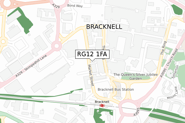
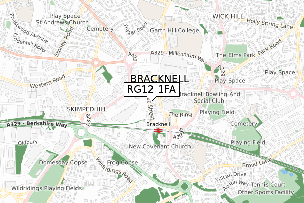
RG12 1FA is located in the Town Centre & The Parks electoral ward, within the unitary authority of Bracknell Forest and the English Parliamentary constituency of Bracknell. The Sub Integrated Care Board (ICB) Location is NHS Frimley ICB - D4U1Y and the police force is Thames Valley. This postcode has been in use since October 2018.


GetTheData
Source: OS Open Zoomstack (Ordnance Survey)
Licence: Open Government Licence (requires attribution)
Attribution: Contains OS data © Crown copyright and database right 2025
Source: Open Postcode Geo
Licence: Open Government Licence (requires attribution)
Attribution: Contains OS data © Crown copyright and database right 2025; Contains Royal Mail data © Royal Mail copyright and database right 2025; Source: Office for National Statistics licensed under the Open Government Licence v.3.0
| Easting | 486847 |
| Northing | 169197 |
| Latitude | 51.415150 |
| Longitude | -0.752537 |
GetTheData
Source: Open Postcode Geo
Licence: Open Government Licence
| Country | England |
| Postcode District | RG12 |
➜ See where RG12 is on a map ➜ Where is Bracknell? | |
GetTheData
Source: Land Registry Price Paid Data
Licence: Open Government Licence
| Ward | Town Centre & The Parks |
| Constituency | Bracknell |
GetTheData
Source: ONS Postcode Database
Licence: Open Government Licence
| The Ring - High Street (The Ring) | Bracknell | 73m |
| The Ring - High Street (The Ring) | Bracknell | 79m |
| High Street | Bracknell | 187m |
| Skimped Hill Lane - Health Centre (Skimped Hill Lane) | Bracknell | 201m |
| The Ring - Parish Church (Charles Square Car Park) | Bracknell | 443m |
| Bracknell Station | 0.2km |
| Martins Heron Station | 2.1km |
GetTheData
Source: NaPTAN
Licence: Open Government Licence
| Percentage of properties with Next Generation Access | 100.0% |
| Percentage of properties with Superfast Broadband | 100.0% |
| Percentage of properties with Ultrafast Broadband | 100.0% |
| Percentage of properties with Full Fibre Broadband | 100.0% |
Superfast Broadband is between 30Mbps and 300Mbps
Ultrafast Broadband is > 300Mbps
| Percentage of properties unable to receive 2Mbps | 0.0% |
| Percentage of properties unable to receive 5Mbps | 0.0% |
| Percentage of properties unable to receive 10Mbps | 0.0% |
| Percentage of properties unable to receive 30Mbps | 0.0% |
GetTheData
Source: Ofcom
Licence: Ofcom Terms of Use (requires attribution)
GetTheData
Source: ONS Postcode Database
Licence: Open Government Licence


➜ Get more ratings from the Food Standards Agency
GetTheData
Source: Food Standards Agency
Licence: FSA terms & conditions
| Last Collection | |||
|---|---|---|---|
| Location | Mon-Fri | Sat | Distance |
| Skimped Hill (The Point) | 17:30 | 11:45 | 121m |
| Princess Square | 17:30 | 11:45 | 202m |
| Railway Station | 17:15 | 11:45 | 244m |
GetTheData
Source: Dracos
Licence: Creative Commons Attribution-ShareAlike
The below table lists the International Territorial Level (ITL) codes (formerly Nomenclature of Territorial Units for Statistics (NUTS) codes) and Local Administrative Units (LAU) codes for RG12 1FA:
| ITL 1 Code | Name |
|---|---|
| TLJ | South East (England) |
| ITL 2 Code | Name |
| TLJ1 | Berkshire, Buckinghamshire and Oxfordshire |
| ITL 3 Code | Name |
| TLJ11 | Berkshire |
| LAU 1 Code | Name |
| E06000036 | Bracknell Forest |
GetTheData
Source: ONS Postcode Directory
Licence: Open Government Licence
The below table lists the Census Output Area (OA), Lower Layer Super Output Area (LSOA), and Middle Layer Super Output Area (MSOA) for RG12 1FA:
| Code | Name | |
|---|---|---|
| OA | E00166677 | |
| LSOA | E01016249 | Bracknell Forest 007D |
| MSOA | E02003358 | Bracknell Forest 007 |
GetTheData
Source: ONS Postcode Directory
Licence: Open Government Licence
| RG12 1JG | Market Street | 29m |
| RG12 1LP | Station Road | 99m |
| RG12 1QB | Station Square | 198m |
| RG12 1EA | High Street | 224m |
| RG12 1HX | Market Street | 234m |
| RG12 1DU | High Street | 258m |
| RG12 1LL | High Street | 265m |
| RG12 7AP | Faircross | 369m |
| RG12 9HL | Mount Lane | 374m |
| RG12 1AA | High Street | 408m |
GetTheData
Source: Open Postcode Geo; Land Registry Price Paid Data
Licence: Open Government Licence