Property/Postcode Data Search:
PO39 0FH maps, stats, and open data
PO39 0FH is located in the Totland & Colwell electoral ward, within the unitary authority of Isle of Wight and the English Parliamentary constituency of Isle of Wight. The Sub Integrated Care Board (ICB) Location is NHS Hampshire and Isle of Wight ICB - D9Y0V and the police force is Hampshire. This postcode has been in use since April 2020.
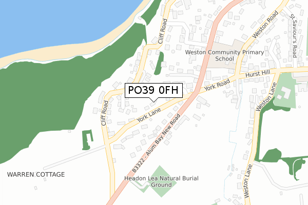
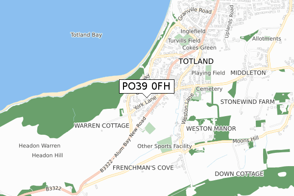
PO39 0FH maps


Source: OS Open Zoomstack (Ordnance Survey)
Licence: Open Government Licence (requires attribution)
Attribution: Contains OS data © Crown copyright and database right 2025
Source: Open Postcode Geo
Licence: Open Government Licence (requires attribution)
Attribution: Contains OS data © Crown copyright and database right 2025; Contains Royal Mail data © Royal Mail copyright and database right 2025; Source: Office for National Statistics licensed under the Open Government Licence v.3.0
Licence: Open Government Licence (requires attribution)
Attribution: Contains OS data © Crown copyright and database right 2025
Source: Open Postcode Geo
Licence: Open Government Licence (requires attribution)
Attribution: Contains OS data © Crown copyright and database right 2025; Contains Royal Mail data © Royal Mail copyright and database right 2025; Source: Office for National Statistics licensed under the Open Government Licence v.3.0
PO39 0FH geodata
| Easting | 432070 |
| Northing | 86343 |
| Latitude | 50.675861 |
| Longitude | -1.547486 |
Where is PO39 0FH?
| Country | England |
| Postcode District | PO39 |
Politics
| Ward | Totland & Colwell |
|---|---|
| Constituency | Isle Of Wight |
House Prices
Sales of detached houses in PO39 0FH
2021 10 JUN £725,000 |
2, FERN BANK CLOSE, TOTLAND BAY, PO39 0FH 2021 23 FEB £712,500 |
3, FERN BANK CLOSE, TOTLAND BAY, PO39 0FH 2020 18 DEC £750,000 |
1, FERN BANK CLOSE, TOTLAND BAY, PO39 0FH 2020 11 NOV £740,000 |
Source: HM Land Registry Price Paid Data
Licence: Contains HM Land Registry data © Crown copyright and database right 2025. This data is licensed under the Open Government Licence v3.0.
Licence: Contains HM Land Registry data © Crown copyright and database right 2025. This data is licensed under the Open Government Licence v3.0.
Transport
Nearest bus stops to PO39 0FH
| Christ Church (Alum Bay New Road) | Totland | 141m |
| Church Hill | Totland | 230m |
| Church Hill | Totland | 242m |
| Headon Rise (Alum Bay New Road) | Alum Bay | 312m |
| Headon Rise (Alum Bay New Road) | Alum Bay | 322m |
Deprivation
36.4% of English postcodes are less deprived than PO39 0FH:Food Standards Agency
Three nearest food hygiene ratings to PO39 0FH (metres)
The Hermitage B&B

Hermitage Lodge
105m
Yha Totland

Youth Hostel
348m
St Vincent Care Homes Ltd

Eden House
439m
➜ Get more ratings from the Food Standards Agency
Nearest post box to PO39 0FH
| Last Collection | |||
|---|---|---|---|
| Location | Mon-Fri | Sat | Distance |
| Chine Cliff | 16:30 | 10:30 | 91m |
| Church Hill Road | 16:30 | 10:45 | 293m |
| Weston | 16:45 | 10:30 | 305m |
PO39 0FH ITL and PO39 0FH LAU
The below table lists the International Territorial Level (ITL) codes (formerly Nomenclature of Territorial Units for Statistics (NUTS) codes) and Local Administrative Units (LAU) codes for PO39 0FH:
| ITL 1 Code | Name |
|---|---|
| TLJ | South East (England) |
| ITL 2 Code | Name |
| TLJ3 | Hampshire and Isle of Wight |
| ITL 3 Code | Name |
| TLJ34 | Isle of Wight |
| LAU 1 Code | Name |
| E06000046 | Isle of Wight |
PO39 0FH census areas
The below table lists the Census Output Area (OA), Lower Layer Super Output Area (LSOA), and Middle Layer Super Output Area (MSOA) for PO39 0FH:
| Code | Name | |
|---|---|---|
| OA | E00087678 | |
| LSOA | E01017361 | Isle of Wight 012F |
| MSOA | E02003592 | Isle of Wight 012 |
Nearest postcodes to PO39 0FH
| PO39 0FE | Woodlands | 68m |
| PO39 0ER | York Lane | 86m |
| PO39 0EW | Cliff Road | 101m |
| PO39 0HR | Glenheadon Drive | 113m |
| PO39 0ES | Alum Bay New Road | 117m |
| PO39 0ET | Church Hill | 213m |
| PO39 0EL | Heatherwood Park Road | 254m |
| PO39 0HB | York Road | 274m |
| PO39 0JX | Hambrough Lane | 291m |
| PO39 0EU | Church Hill | 337m |