PO21 2PB maps, stats, and open data
- Home
- Postcode
- PO
- PO21
- PO21 2
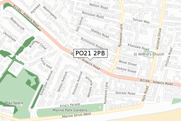
PO21 2PB lies on Aldwick Road in Bognor Regis. PO21 2PB is located in the Marine electoral ward, within the local authority district of Arun and the English Parliamentary constituency of Bognor Regis and Littlehampton. The Sub Integrated Care Board (ICB) Location is NHS Sussex ICB - 70F and the police force is Sussex. This postcode has been in use since September 2017.
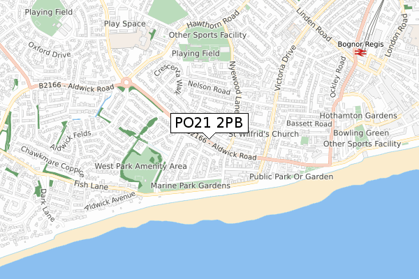
PO21 2PB maps


Source: OS Open Zoomstack (Ordnance Survey)
Licence: Open Government Licence (requires attribution)
Attribution: Contains OS data © Crown copyright and database right 2025
Source: Open Postcode GeoLicence: Open Government Licence (requires attribution)
Attribution: Contains OS data © Crown copyright and database right 2025; Contains Royal Mail data © Royal Mail copyright and database right 2025; Source: Office for National Statistics licensed under the Open Government Licence v.3.0
PO21 2PB geodata
| Easting | 492502 |
| Northing | 98903 |
| Latitude | 50.782324 |
| Longitude | -0.689228 |
Where is PO21 2PB?
| Street | Aldwick Road |
| Town/City | Bognor Regis |
| Country | England |
| Postcode District | PO21 |
Politics
| Ward | Marine |
|---|
| Constituency | Bognor Regis And Littlehampton |
|---|
Transport
Nearest bus stops to PO21 2PB
| Oakleigh Court (Aldwick Road) | Aldwick | 50m |
| Richmond Avenue (Aldwick Road) | Aldwick | 76m |
| Richmond Avenue (Aldwick Road) | Aldwick | 115m |
| Wood Street (Nyewood Lane) | Aldwick | 137m |
| Wood Street (Nyewood Lane) | Aldwick | 166m |
Nearest railway stations to PO21 2PB
Broadband
Broadband access in PO21 2PB (2020 data)
| Percentage of properties with Next Generation Access | 100.0% |
| Percentage of properties with Superfast Broadband | 100.0% |
| Percentage of properties with Ultrafast Broadband | 0.0% |
| Percentage of properties with Full Fibre Broadband | 0.0% |
Superfast Broadband is between 30Mbps and 300Mbps
Ultrafast Broadband is > 300Mbps
Broadband limitations in PO21 2PB (2020 data)
| Percentage of properties unable to receive 2Mbps | 0.0% |
| Percentage of properties unable to receive 5Mbps | 0.0% |
| Percentage of properties unable to receive 10Mbps | 0.0% |
| Percentage of properties unable to receive 30Mbps | 0.0% |
Deprivation
66.5% of English postcodes are less deprived than
PO21 2PB:
Food Standards Agency
Three nearest food hygiene ratings to PO21 2PB (metres)
Ashton Manor
Ashton Manor Care Home 104 - 106 Aldwick Road
51m
Ashbury Residential Care Home
124 - 128 Aldwick Road
57m
The Aldwick B&B
Aldwick Hotel 25 Princess Avenue
78m
➜ Get more ratings from the Food Standards Agency
Nearest post box to PO21 2PB
| | Last Collection | |
|---|
| Location | Mon-Fri | Sat | Distance |
|---|
| Crescenta Walk | 17:15 | 11:15 | 166m |
| Victoria Park Post Office | 18:20 | 11:30 | 247m |
| Southdown Road | 17:30 | 11:30 | 633m |
PO21 2PB ITL and PO21 2PB LAU
The below table lists the International Territorial Level (ITL) codes (formerly Nomenclature of Territorial Units for Statistics (NUTS) codes) and Local Administrative Units (LAU) codes for PO21 2PB:
| ITL 1 Code | Name |
|---|
| TLJ | South East (England) |
| ITL 2 Code | Name |
|---|
| TLJ2 | Surrey, East and West Sussex |
| ITL 3 Code | Name |
|---|
| TLJ27 | West Sussex (South West) |
| LAU 1 Code | Name |
|---|
| E07000224 | Arun |
PO21 2PB census areas
The below table lists the Census Output Area (OA), Lower Layer Super Output Area (LSOA), and Middle Layer Super Output Area (MSOA) for PO21 2PB:
| Code | Name |
|---|
| OA | E00160294 | |
|---|
| LSOA | E01031435 | Arun 017C |
|---|
| MSOA | E02006558 | Arun 017 |
|---|
Nearest postcodes to PO21 2PB


