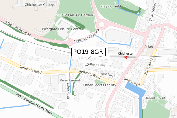
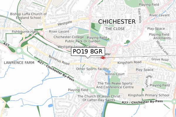
PO19 8GR is located in the Chichester Central electoral ward, within the local authority district of Chichester and the English Parliamentary constituency of Chichester. The Sub Integrated Care Board (ICB) Location is NHS Sussex ICB - 70F and the police force is Sussex. This postcode has been in use since July 2019.


GetTheData
Source: OS Open Zoomstack (Ordnance Survey)
Licence: Open Government Licence (requires attribution)
Attribution: Contains OS data © Crown copyright and database right 2025
Source: Open Postcode Geo
Licence: Open Government Licence (requires attribution)
Attribution: Contains OS data © Crown copyright and database right 2025; Contains Royal Mail data © Royal Mail copyright and database right 2025; Source: Office for National Statistics licensed under the Open Government Licence v.3.0
| Easting | 485662 |
| Northing | 104290 |
| Latitude | 50.831806 |
| Longitude | -0.784974 |
GetTheData
Source: Open Postcode Geo
Licence: Open Government Licence
| Country | England |
| Postcode District | PO19 |
➜ See where PO19 is on a map ➜ Where is Chichester? | |
GetTheData
Source: Land Registry Price Paid Data
Licence: Open Government Licence
| Ward | Chichester Central |
| Constituency | Chichester |
GetTheData
Source: ONS Postcode Database
Licence: Open Government Licence
| Leisure Centre (Via Ravenna) | Chichester | 200m |
| Chichester Gate | Chichester | 214m |
| South Bank (Stockbridge Road) | Chichester | 278m |
| Bus Station (Southgate) | Chichester | 284m |
| Canal Wharf | Chichester | 286m |
| Chichester Station | 0.2km |
| Fishbourne Station | 2.3km |
| Bosham Station | 4.6km |
GetTheData
Source: NaPTAN
Licence: Open Government Licence
GetTheData
Source: ONS Postcode Database
Licence: Open Government Licence


➜ Get more ratings from the Food Standards Agency
GetTheData
Source: Food Standards Agency
Licence: FSA terms & conditions
| Last Collection | |||
|---|---|---|---|
| Location | Mon-Fri | Sat | Distance |
| Waitrose Store | 17:30 | 12:30 | 97m |
| Railway Station | 16:00 | 12:45 | 236m |
| Chichester Delivery Office | 19:00 | 12:45 | 317m |
GetTheData
Source: Dracos
Licence: Creative Commons Attribution-ShareAlike
The below table lists the International Territorial Level (ITL) codes (formerly Nomenclature of Territorial Units for Statistics (NUTS) codes) and Local Administrative Units (LAU) codes for PO19 8GR:
| ITL 1 Code | Name |
|---|---|
| TLJ | South East (England) |
| ITL 2 Code | Name |
| TLJ2 | Surrey, East and West Sussex |
| ITL 3 Code | Name |
| TLJ27 | West Sussex (South West) |
| LAU 1 Code | Name |
| E07000225 | Chichester |
GetTheData
Source: ONS Postcode Directory
Licence: Open Government Licence
The below table lists the Census Output Area (OA), Lower Layer Super Output Area (LSOA), and Middle Layer Super Output Area (MSOA) for PO19 8GR:
| Code | Name | |
|---|---|---|
| OA | E00160593 | |
| LSOA | E01031490 | Chichester 010D |
| MSOA | E02006570 | Chichester 010 |
GetTheData
Source: ONS Postcode Directory
Licence: Open Government Licence
| PO19 8DR | Canal Place | 132m |
| PO19 8DS | Canal Place | 166m |
| PO19 8DP | Stockbridge Road | 202m |
| PO19 8DT | 235m | |
| PO19 8PD | Stockbridge Road | 270m |
| PO19 8HJ | Stockbridge Road | 276m |
| PO19 8FD | John Rennie Road | 313m |
| PO19 8DU | City Business Centre | 319m |
| PO19 8PU | Basin Road | 323m |
| PO19 8ES | Stockbridge Road | 325m |
GetTheData
Source: Open Postcode Geo; Land Registry Price Paid Data
Licence: Open Government Licence