Property/Postcode Data Search:
PO12 4FA maps, stats, and open data
PO12 4FA is located in the Elson electoral ward, within the local authority district of Gosport and the English Parliamentary constituency of Gosport. The Sub Integrated Care Board (ICB) Location is NHS Hampshire and Isle of Wight ICB - D9Y0V and the police force is Hampshire. This postcode has been in use since August 2018.
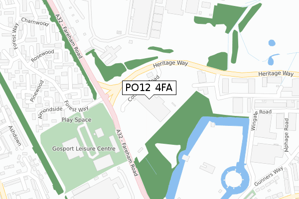
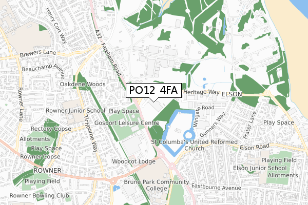
PO12 4FA maps


Source: OS Open Zoomstack (Ordnance Survey)
Licence: Open Government Licence (requires attribution)
Attribution: Contains OS data © Crown copyright and database right 2025
Source: Open Postcode Geo
Licence: Open Government Licence (requires attribution)
Attribution: Contains OS data © Crown copyright and database right 2025; Contains Royal Mail data © Royal Mail copyright and database right 2025; Source: Office for National Statistics licensed under the Open Government Licence v.3.0
Licence: Open Government Licence (requires attribution)
Attribution: Contains OS data © Crown copyright and database right 2025
Source: Open Postcode Geo
Licence: Open Government Licence (requires attribution)
Attribution: Contains OS data © Crown copyright and database right 2025; Contains Royal Mail data © Royal Mail copyright and database right 2025; Source: Office for National Statistics licensed under the Open Government Licence v.3.0
PO12 4FA geodata
| Easting | 459425 |
| Northing | 102290 |
| Latitude | 50.817106 |
| Longitude | -1.157809 |
Where is PO12 4FA?
| Country | England |
| Postcode District | PO12 |
Politics
| Ward | Elson |
|---|---|
| Constituency | Gosport |
Transport
Nearest bus stops to PO12 4FA
| Holbrook Pool & Ice Rink (Fareham Road) | Fort Brockhurst | 153m |
| Holbrook Pool & Ice Rink (Fareham Road) | Fort Brockhurst | 184m |
| Vineside (Forest Way) | Fort Brockhurst | 296m |
| Vineside (Forest Way) | Fort Brockhurst | 303m |
| Fort Brockhurst (Fareham Road) | Brockhurst | 470m |
Nearest railway stations to PO12 4FA
| Portsmouth Harbour Station | 4.2km |
| Portchester Station | 4.2km |
| Fareham Station | 4.7km |
Deprivation
52.8% of English postcodes are less deprived than PO12 4FA:Food Standards Agency
Three nearest food hygiene ratings to PO12 4FA (metres)
Marks & Spencer

Unit 4
0m
Home Bargains

Unit 5
0m
Lidl

Unit 3
0m
➜ Get more ratings from the Food Standards Agency
Nearest post box to PO12 4FA
| Last Collection | |||
|---|---|---|---|
| Location | Mon-Fri | Sat | Distance |
| Heritage Business Centre | 16:30 | 11:30 | 301m |
| Forest Way | 17:00 | 11:45 | 430m |
| Gosport Business Centre | 16:45 | 11:30 | 686m |
PO12 4FA ITL and PO12 4FA LAU
The below table lists the International Territorial Level (ITL) codes (formerly Nomenclature of Territorial Units for Statistics (NUTS) codes) and Local Administrative Units (LAU) codes for PO12 4FA:
| ITL 1 Code | Name |
|---|---|
| TLJ | South East (England) |
| ITL 2 Code | Name |
| TLJ3 | Hampshire and Isle of Wight |
| ITL 3 Code | Name |
| TLJ35 | South Hampshire |
| LAU 1 Code | Name |
| E07000088 | Gosport |
PO12 4FA census areas
The below table lists the Census Output Area (OA), Lower Layer Super Output Area (LSOA), and Middle Layer Super Output Area (MSOA) for PO12 4FA:
| Code | Name | |
|---|---|---|
| OA | E00115933 | |
| LSOA | E01022814 | Gosport 003B |
| MSOA | E02004743 | Gosport 003 |
Nearest postcodes to PO12 4FA
| PO13 0ZX | Fareham Road | 199m |
| PO13 0ZU | Vineside | 222m |
| PO13 0ZY | Aspengrove | 243m |
| PO13 0ZT | The Nook | 299m |
| PO13 0ZL | The Thicket | 304m |
| PO13 0ZR | The Glen | 305m |
| PO13 0ZZ | The Mount | 306m |
| PO12 4BG | Heritage Business Park | 328m |
| PO13 0WU | Forest Way | 352m |
| PO13 0ZJ | The Hoe | 353m |