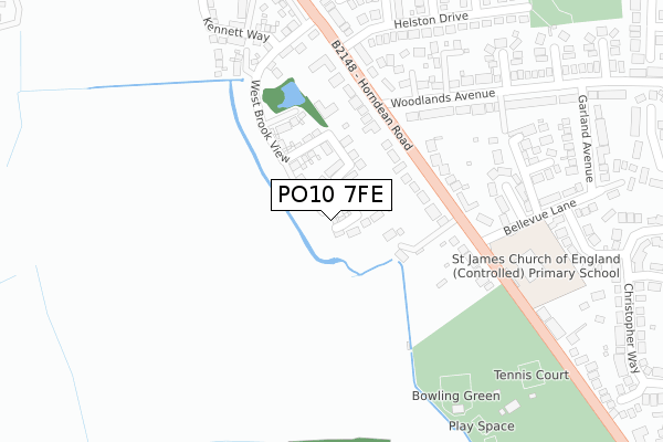
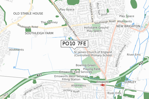
PO10 7FE is located in the Emsworth electoral ward, within the local authority district of Havant and the English Parliamentary constituency of Havant. The Sub Integrated Care Board (ICB) Location is NHS Hampshire and Isle of Wight ICB - D9Y0V and the police force is Hampshire. This postcode has been in use since February 2020.


GetTheData
Source: OS Open Zoomstack (Ordnance Survey)
Licence: Open Government Licence (requires attribution)
Attribution: Contains OS data © Crown copyright and database right 2025
Source: Open Postcode Geo
Licence: Open Government Licence (requires attribution)
Attribution: Contains OS data © Crown copyright and database right 2025; Contains Royal Mail data © Royal Mail copyright and database right 2025; Source: Office for National Statistics licensed under the Open Government Licence v.3.0
| Easting | 474386 |
| Northing | 106931 |
| Latitude | 50.857108 |
| Longitude | -0.944526 |
GetTheData
Source: Open Postcode Geo
Licence: Open Government Licence
| Country | England |
| Postcode District | PO10 |
➜ See where PO10 is on a map ➜ Where is Emsworth? | |
GetTheData
Source: Land Registry Price Paid Data
Licence: Open Government Licence
| Ward | Emsworth |
| Constituency | Havant |
GetTheData
Source: ONS Postcode Database
Licence: Open Government Licence
6, SHIPWRIGHTS CLOSE, EMSWORTH, PO10 7FE 2021 19 MAR £380,000 |
8, SHIPWRIGHTS CLOSE, EMSWORTH, PO10 7FE 2021 19 FEB £467,500 |
1, SHIPWRIGHTS CLOSE, EMSWORTH, PO10 7FE 2020 17 DEC £380,000 |
10, SHIPWRIGHTS CLOSE, EMSWORTH, PO10 7FE 2020 30 SEP £392,495 |
GetTheData
Source: HM Land Registry Price Paid Data
Licence: Contains HM Land Registry data © Crown copyright and database right 2025. This data is licensed under the Open Government Licence v3.0.
| Helston Drive (Horndean Road) | New Brighton | 215m |
| Belle Vue Lane (Bellevue Lane) | New Brighton | 220m |
| Belle Vue Lane (Bellevue Lane) | New Brighton | 222m |
| Helston Drive (Horndean Road) | New Brighton | 230m |
| Allendale Avenue (Southleigh Road) | New Brighton | 408m |
| Emsworth Station | 0.7km |
| Warblington Station | 1.6km |
| Havant Station | 2.6km |
GetTheData
Source: NaPTAN
Licence: Open Government Licence
GetTheData
Source: ONS Postcode Database
Licence: Open Government Licence


➜ Get more ratings from the Food Standards Agency
GetTheData
Source: Food Standards Agency
Licence: FSA terms & conditions
| Last Collection | |||
|---|---|---|---|
| Location | Mon-Fri | Sat | Distance |
| Horndean Road | 16:30 | 11:45 | 212m |
| New Brighton Road | 17:40 | 12:15 | 583m |
| Southleigh Road | 17:30 | 11:30 | 634m |
GetTheData
Source: Dracos
Licence: Creative Commons Attribution-ShareAlike
The below table lists the International Territorial Level (ITL) codes (formerly Nomenclature of Territorial Units for Statistics (NUTS) codes) and Local Administrative Units (LAU) codes for PO10 7FE:
| ITL 1 Code | Name |
|---|---|
| TLJ | South East (England) |
| ITL 2 Code | Name |
| TLJ3 | Hampshire and Isle of Wight |
| ITL 3 Code | Name |
| TLJ35 | South Hampshire |
| LAU 1 Code | Name |
| E07000090 | Havant |
GetTheData
Source: ONS Postcode Directory
Licence: Open Government Licence
The below table lists the Census Output Area (OA), Lower Layer Super Output Area (LSOA), and Middle Layer Super Output Area (MSOA) for PO10 7FE:
| Code | Name | |
|---|---|---|
| OA | E00116499 | |
| LSOA | E01022926 | Havant 013C |
| MSOA | E02004774 | Havant 013 |
GetTheData
Source: ONS Postcode Directory
Licence: Open Government Licence
| PO10 7PU | Horndean Road | 100m |
| PO10 7PD | Horndean Road | 238m |
| PO10 7TU | Horndean Road | 243m |
| PO10 7PY | Lindens Close | 261m |
| PO10 7XB | Cobblewood | 283m |
| PO10 7TP | Helston Drive | 284m |
| PO10 7QQ | Heatherton Mews | 289m |
| PO10 7QG | Exeter Close | 290m |
| PO10 7QB | Woodlands Avenue | 311m |
| PO10 7QE | Woodlands Avenue | 312m |
GetTheData
Source: Open Postcode Geo; Land Registry Price Paid Data
Licence: Open Government Licence