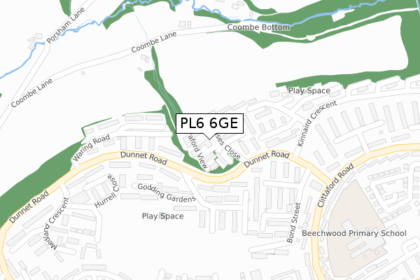
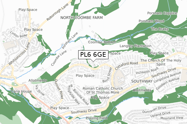
PL6 6GE is located in the Southway electoral ward, within the unitary authority of Plymouth and the English Parliamentary constituency of Plymouth, Moor View. The Sub Integrated Care Board (ICB) Location is NHS Devon ICB - 15N and the police force is Devon & Cornwall. This postcode has been in use since April 2020.


GetTheData
Source: OS Open Zoomstack (Ordnance Survey)
Licence: Open Government Licence (requires attribution)
Attribution: Contains OS data © Crown copyright and database right 2025
Source: Open Postcode Geo
Licence: Open Government Licence (requires attribution)
Attribution: Contains OS data © Crown copyright and database right 2025; Contains Royal Mail data © Royal Mail copyright and database right 2025; Source: Office for National Statistics licensed under the Open Government Licence v.3.0
| Easting | 248199 |
| Northing | 61130 |
| Latitude | 50.430335 |
| Longitude | -4.138694 |
GetTheData
Source: Open Postcode Geo
Licence: Open Government Licence
| Country | England |
| Postcode District | PL6 |
➜ See where PL6 is on a map ➜ Where is Plymouth? | |
GetTheData
Source: Land Registry Price Paid Data
Licence: Open Government Licence
| Ward | Southway |
| Constituency | Plymouth, Moor View |
GetTheData
Source: ONS Postcode Database
Licence: Open Government Licence
| Alger Walk (Dunnet Road) | Southway | 118m |
| Latimer Walk | Tamerton Foliot | 152m |
| Kinniard Crescent | Southway | 159m |
| Waring Road (Dunnet Road) | Tamerton Foliot | 231m |
| Winnicott Close (Kinnaird Crescent) | Southway | 268m |
| Bere Ferrers Station | 3.8km |
| St Budeaux Victoria Road Station | 4.7km |
| St Budeaux Ferry Road Station | 4.7km |
GetTheData
Source: NaPTAN
Licence: Open Government Licence
GetTheData
Source: ONS Postcode Database
Licence: Open Government Licence


➜ Get more ratings from the Food Standards Agency
GetTheData
Source: Food Standards Agency
Licence: FSA terms & conditions
| Last Collection | |||
|---|---|---|---|
| Location | Mon-Fri | Sat | Distance |
| Beverston Way | 17:30 | 12:30 | 1,916m |
| Clittaford Road | 17:15 | 12:00 | 2,084m |
| Lakeside Drive | 17:00 | 12:00 | 2,227m |
GetTheData
Source: Dracos
Licence: Creative Commons Attribution-ShareAlike
The below table lists the International Territorial Level (ITL) codes (formerly Nomenclature of Territorial Units for Statistics (NUTS) codes) and Local Administrative Units (LAU) codes for PL6 6GE:
| ITL 1 Code | Name |
|---|---|
| TLK | South West (England) |
| ITL 2 Code | Name |
| TLK4 | Devon |
| ITL 3 Code | Name |
| TLK41 | Plymouth |
| LAU 1 Code | Name |
| E06000026 | Plymouth |
GetTheData
Source: ONS Postcode Directory
Licence: Open Government Licence
The below table lists the Census Output Area (OA), Lower Layer Super Output Area (LSOA), and Middle Layer Super Output Area (MSOA) for PL6 6GE:
| Code | Name | |
|---|---|---|
| OA | E00076593 | |
| LSOA | E01015161 | Plymouth 002C |
| MSOA | E02003123 | Plymouth 002 |
GetTheData
Source: ONS Postcode Directory
Licence: Open Government Licence
| PL6 6TW | Clittaford View | 36m |
| PL6 6JP | Moses Close | 43m |
| PL6 6JR | Wills Close | 75m |
| PL6 6NN | Waring Road | 109m |
| PL6 6JX | Pillar Walk | 125m |
| PL6 6JY | Pillar Walk | 129m |
| PL6 6JN | Bulteel Gardens | 130m |
| PL6 6JW | Winnicott Close | 144m |
| PL6 6NG | Godding Gardens | 145m |
| PL6 6LZ | Latimer Walk | 151m |
GetTheData
Source: Open Postcode Geo; Land Registry Price Paid Data
Licence: Open Government Licence