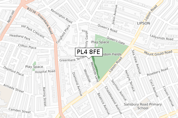
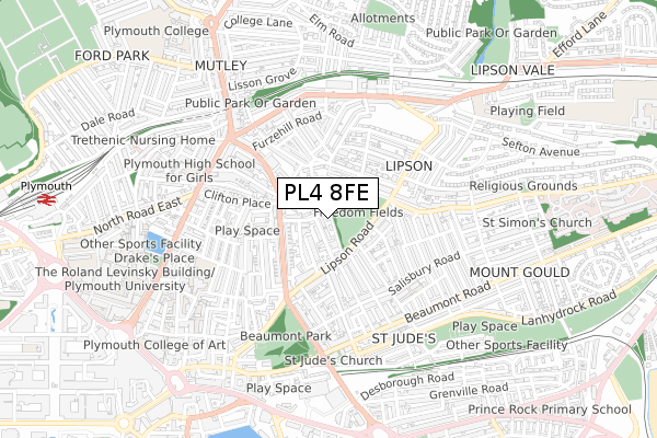
PL4 8FE is located in the Drake electoral ward, within the unitary authority of Plymouth and the English Parliamentary constituency of Plymouth, Sutton and Devonport. The Sub Integrated Care Board (ICB) Location is NHS Devon ICB - 15N and the police force is Devon & Cornwall. This postcode has been in use since August 2018.


GetTheData
Source: OS Open Zoomstack (Ordnance Survey)
Licence: Open Government Licence (requires attribution)
Attribution: Contains OS data © Crown copyright and database right 2025
Source: Open Postcode Geo
Licence: Open Government Licence (requires attribution)
Attribution: Contains OS data © Crown copyright and database right 2025; Contains Royal Mail data © Royal Mail copyright and database right 2025; Source: Office for National Statistics licensed under the Open Government Licence v.3.0
| Easting | 248786 |
| Northing | 55242 |
| Latitude | 50.377571 |
| Longitude | -4.128064 |
GetTheData
Source: Open Postcode Geo
Licence: Open Government Licence
| Country | England |
| Postcode District | PL4 |
➜ See where PL4 is on a map ➜ Where is Plymouth? | |
GetTheData
Source: Land Registry Price Paid Data
Licence: Open Government Licence
| Ward | Drake |
| Constituency | Plymouth, Sutton And Devonport |
GetTheData
Source: ONS Postcode Database
Licence: Open Government Licence
4, WOODSIDE LANE, PLYMOUTH, PL4 8FE 2008 31 JAN £335,000 |
GetTheData
Source: HM Land Registry Price Paid Data
Licence: Contains HM Land Registry data © Crown copyright and database right 2025. This data is licensed under the Open Government Licence v3.0.
| Freedom Park (Lipson Road) | Mount Gould | 129m |
| Seymour Road (Lipson Road) | Mount Gould | 144m |
| Hospital Road (Greenbank Road) | Plymouth | 187m |
| Greenbank Road | Plymouth | 194m |
| Hill Park Crescent | Mutley | 201m |
| Plymouth Station | 1.1km |
| Devonport Station | 3km |
| Dockyard (Plymouth) Station | 3.4km |
GetTheData
Source: NaPTAN
Licence: Open Government Licence
| Percentage of properties with Next Generation Access | 100.0% |
| Percentage of properties with Superfast Broadband | 100.0% |
| Percentage of properties with Ultrafast Broadband | 100.0% |
| Percentage of properties with Full Fibre Broadband | 0.0% |
Superfast Broadband is between 30Mbps and 300Mbps
Ultrafast Broadband is > 300Mbps
| Percentage of properties unable to receive 2Mbps | 0.0% |
| Percentage of properties unable to receive 5Mbps | 0.0% |
| Percentage of properties unable to receive 10Mbps | 0.0% |
| Percentage of properties unable to receive 30Mbps | 0.0% |
GetTheData
Source: Ofcom
Licence: Ofcom Terms of Use (requires attribution)
GetTheData
Source: ONS Postcode Database
Licence: Open Government Licence


➜ Get more ratings from the Food Standards Agency
GetTheData
Source: Food Standards Agency
Licence: FSA terms & conditions
| Last Collection | |||
|---|---|---|---|
| Location | Mon-Fri | Sat | Distance |
| Old Seymour Drive P.o. | 18:15 | 12:00 | 179m |
| Cifton Place | 16:30 | 12:15 | 203m |
| Salcombe Road | 17:30 | 12:30 | 269m |
GetTheData
Source: Dracos
Licence: Creative Commons Attribution-ShareAlike
The below table lists the International Territorial Level (ITL) codes (formerly Nomenclature of Territorial Units for Statistics (NUTS) codes) and Local Administrative Units (LAU) codes for PL4 8FE:
| ITL 1 Code | Name |
|---|---|
| TLK | South West (England) |
| ITL 2 Code | Name |
| TLK4 | Devon |
| ITL 3 Code | Name |
| TLK41 | Plymouth |
| LAU 1 Code | Name |
| E06000026 | Plymouth |
GetTheData
Source: ONS Postcode Directory
Licence: Open Government Licence
The below table lists the Census Output Area (OA), Lower Layer Super Output Area (LSOA), and Middle Layer Super Output Area (MSOA) for PL4 8FE:
| Code | Name | |
|---|---|---|
| OA | E00076045 | |
| LSOA | E01015052 | Plymouth 028A |
| MSOA | E02003149 | Plymouth 028 |
GetTheData
Source: ONS Postcode Directory
Licence: Open Government Licence
| PL4 8QE | Woodside | 50m |
| PL4 7QN | Greenbank Terrace | 58m |
| PL4 8TP | Greenbank Terrace | 65m |
| PL4 8QF | Greenbank Terrace | 86m |
| PL4 7QS | Emily Gardens | 98m |
| PL4 8QD | Diamond Avenue | 127m |
| PL4 7QW | Monica Walk | 128m |
| PL4 8QL | Woodland Terrace Lane | 130m |
| PL4 7QP | Freedom Square | 147m |
| PL4 8RQ | Lipson Road | 152m |
GetTheData
Source: Open Postcode Geo; Land Registry Price Paid Data
Licence: Open Government Licence