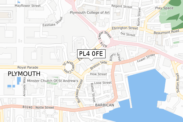
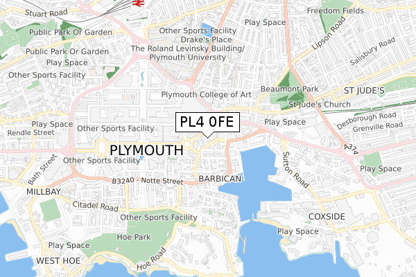
PL4 0FE is located in the St Peter and the Waterfront electoral ward, within the unitary authority of Plymouth and the English Parliamentary constituency of Plymouth, Sutton and Devonport. The Sub Integrated Care Board (ICB) Location is NHS Devon ICB - 15N and the police force is Devon & Cornwall. This postcode has been in use since June 2019.


GetTheData
Source: OS Open Zoomstack (Ordnance Survey)
Licence: Open Government Licence (requires attribution)
Attribution: Contains OS data © Crown copyright and database right 2025
Source: Open Postcode Geo
Licence: Open Government Licence (requires attribution)
Attribution: Contains OS data © Crown copyright and database right 2025; Contains Royal Mail data © Royal Mail copyright and database right 2025; Source: Office for National Statistics licensed under the Open Government Licence v.3.0
| Easting | 248133 |
| Northing | 54498 |
| Latitude | 50.370716 |
| Longitude | -4.136940 |
GetTheData
Source: Open Postcode Geo
Licence: Open Government Licence
| Country | England |
| Postcode District | PL4 |
➜ See where PL4 is on a map ➜ Where is Plymouth? | |
GetTheData
Source: Land Registry Price Paid Data
Licence: Open Government Licence
| Ward | St Peter And The Waterfront |
| Constituency | Plymouth, Sutton And Devonport |
GetTheData
Source: ONS Postcode Database
Licence: Open Government Licence
| Viaduct (Exeter Street) | Plymouth City Centre | 33m |
| Bretonside | Plymouth City Centre | 40m |
| Viaduct (Exeter Street) | Plymouth City Centre | 46m |
| Viaduct (Exeter Street) | Plymouth City Centre | 60m |
| Viaduct (Exeter Street) | Plymouth City Centre | 65m |
| Plymouth Station | 0.9km |
| Devonport Station | 2.6km |
| Dockyard (Plymouth) Station | 3.1km |
GetTheData
Source: NaPTAN
Licence: Open Government Licence
GetTheData
Source: ONS Postcode Database
Licence: Open Government Licence


➜ Get more ratings from the Food Standards Agency
GetTheData
Source: Food Standards Agency
Licence: FSA terms & conditions
| Last Collection | |||
|---|---|---|---|
| Location | Mon-Fri | Sat | Distance |
| Exeter Street (Bretonside) | 19:15 | 12:30 | 101m |
| St Andrews Cross Post Office | 19:00 | 13:45 | 112m |
| Zion Street | 18:45 | 12:00 | 341m |
GetTheData
Source: Dracos
Licence: Creative Commons Attribution-ShareAlike
The below table lists the International Territorial Level (ITL) codes (formerly Nomenclature of Territorial Units for Statistics (NUTS) codes) and Local Administrative Units (LAU) codes for PL4 0FE:
| ITL 1 Code | Name |
|---|---|
| TLK | South West (England) |
| ITL 2 Code | Name |
| TLK4 | Devon |
| ITL 3 Code | Name |
| TLK41 | Plymouth |
| LAU 1 Code | Name |
| E06000026 | Plymouth |
GetTheData
Source: ONS Postcode Directory
Licence: Open Government Licence
The below table lists the Census Output Area (OA), Lower Layer Super Output Area (LSOA), and Middle Layer Super Output Area (MSOA) for PL4 0FE:
| Code | Name | |
|---|---|---|
| OA | E00172056 | |
| LSOA | E01032658 | Plymouth 027G |
| MSOA | E02003148 | Plymouth 027 |
GetTheData
Source: ONS Postcode Directory
Licence: Open Government Licence
| PL4 0BY | Breton Side | 60m |
| PL4 0DB | How Street | 86m |
| PL4 0DY | Looe Street | 108m |
| PL4 0BH | Bilbury Street | 130m |
| PL4 0EA | Looe Street | 139m |
| PL1 1DE | Old Town Street | 141m |
| PL4 0EN | Batter Street | 142m |
| PL4 0EB | Looe Street | 147m |
| PL4 0BB | Breton Side | 168m |
| PL4 0EP | Vauxhall Street | 172m |
GetTheData
Source: Open Postcode Geo; Land Registry Price Paid Data
Licence: Open Government Licence