PL2 2JE maps, stats, and open data
- Home
- Postcode
- PL
- PL2
- PL2 2
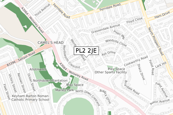
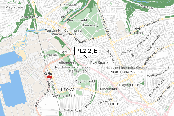
PL2 2JE lies on Wordsworth Road in Plymouth. PL2 2JE is located in the Ham electoral ward, within the unitary authority of Plymouth and the English Parliamentary constituency of Plymouth, Moor View. The Sub Integrated Care Board (ICB) Location is NHS Devon ICB - 15N and the police force is Devon & Cornwall. This postcode has been in use since May 2018.
PL2 2JE maps


Source: OS Open Zoomstack (Ordnance Survey)
Licence: Open Government Licence (requires attribution)
Attribution: Contains OS data © Crown copyright and database right 2025
Source: Open Postcode GeoLicence: Open Government Licence (requires attribution)
Attribution: Contains OS data © Crown copyright and database right 2025; Contains Royal Mail data © Royal Mail copyright and database right 2025; Source: Office for National Statistics licensed under the Open Government Licence v.3.0
PL2 2JE geodata
| Easting | 245670 |
| Northing | 57029 |
| Latitude | 50.392820 |
| Longitude | -4.172588 |
Where is PL2 2JE?
| Street | Wordsworth Road |
| Town/City | Plymouth |
| Country | England |
| Postcode District | PL2 |
Politics
| Ward | Ham |
|---|
| Constituency | Plymouth, Moor View |
|---|
Transport
Nearest bus stops to PL2 2JE
| Wolseley Road Flats | Weston Mill | 193m |
| Saltash Road | Camel's Head | 203m |
| Cookworthy Road | Weston Mill | 219m |
| Carolina Gardens (Ferndale Road) | Weston Mill | 250m |
| Camels Head Post Office | Camel's Head | 258m |
Nearest railway stations to PL2 2JE
| Keyham Station | 0.6km |
| Dockyard (Plymouth) Station | 1.2km |
| St Budeaux Ferry Road Station | 1.4km |
Broadband
Broadband access in PL2 2JE (2020 data)
| Percentage of properties with Next Generation Access | 100.0% |
| Percentage of properties with Superfast Broadband | 100.0% |
| Percentage of properties with Ultrafast Broadband | 100.0% |
| Percentage of properties with Full Fibre Broadband | 94.3% |
Superfast Broadband is between 30Mbps and 300Mbps
Ultrafast Broadband is > 300Mbps
Broadband limitations in PL2 2JE (2020 data)
| Percentage of properties unable to receive 2Mbps | 0.0% |
| Percentage of properties unable to receive 5Mbps | 0.0% |
| Percentage of properties unable to receive 10Mbps | 0.0% |
| Percentage of properties unable to receive 30Mbps | 0.0% |
Deprivation
94.5% of English postcodes are less deprived than
PL2 2JE:
Food Standards Agency
Three nearest food hygiene ratings to PL2 2JE (metres)
Camels Head Stores
Yummy House
CATERed at Keyham Barton School
Keyham Barton Catholic Primary School
441m
➜ Get more ratings from the Food Standards Agency
Nearest post box to PL2 2JE
| | Last Collection | |
|---|
| Location | Mon-Fri | Sat | Distance |
|---|
| Victory Street Post Office | 16:45 | 12:15 | 474m |
| Henderson Place | 17:00 | 12:00 | 608m |
| Kent Road | 17:15 | 12:00 | 680m |
PL2 2JE ITL and PL2 2JE LAU
The below table lists the International Territorial Level (ITL) codes (formerly Nomenclature of Territorial Units for Statistics (NUTS) codes) and Local Administrative Units (LAU) codes for PL2 2JE:
| ITL 1 Code | Name |
|---|
| TLK | South West (England) |
| ITL 2 Code | Name |
|---|
| TLK4 | Devon |
| ITL 3 Code | Name |
|---|
| TLK41 | Plymouth |
| LAU 1 Code | Name |
|---|
| E06000026 | Plymouth |
PL2 2JE census areas
The below table lists the Census Output Area (OA), Lower Layer Super Output Area (LSOA), and Middle Layer Super Output Area (MSOA) for PL2 2JE:
| Code | Name |
|---|
| OA | E00076179 | |
|---|
| LSOA | E01015080 | Plymouth 013D |
|---|
| MSOA | E02003134 | Plymouth 013 |
|---|
Nearest postcodes to PL2 2JE


