PE6 8AJ maps, stats, and open data
PE6 8AJ is located in the Market & West Deeping electoral ward, within the local authority district of South Kesteven and the English Parliamentary constituency of South Holland and The Deepings. The Sub Integrated Care Board (ICB) Location is NHS Lincolnshire ICB - 71E and the police force is Lincolnshire. This postcode has been in use since November 2017.
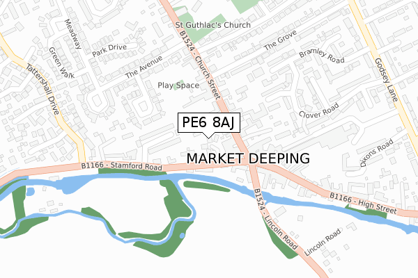
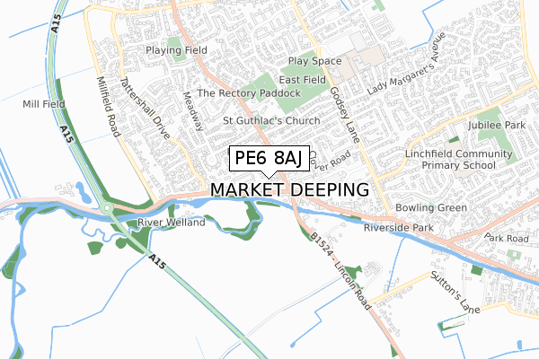
PE6 8AJ maps


Licence: Open Government Licence (requires attribution)
Attribution: Contains OS data © Crown copyright and database right 2025
Source: Open Postcode Geo
Licence: Open Government Licence (requires attribution)
Attribution: Contains OS data © Crown copyright and database right 2025; Contains Royal Mail data © Royal Mail copyright and database right 2025; Source: Office for National Statistics licensed under the Open Government Licence v.3.0
PE6 8AJ geodata
| Easting | 513752 |
| Northing | 310008 |
| Latitude | 52.675864 |
| Longitude | -0.318984 |
Where is PE6 8AJ?
| Country | England |
| Postcode District | PE6 |
Politics
| Ward | Market & West Deeping |
|---|---|
| Constituency | South Holland And The Deepings |
House Prices
Sales of detached houses in PE6 8AJ
2024 9 MAY £542,500 |
3, WELLINGTONIA GARDENS, MARKET DEEPING, PETERBOROUGH, PE6 8AJ 2018 4 OCT £440,000 |
2, WELLINGTONIA GARDENS, MARKET DEEPING, PETERBOROUGH, PE6 8AJ 2018 16 MAR £470,000 |
2017 23 NOV £470,000 |
Licence: Contains HM Land Registry data © Crown copyright and database right 2025. This data is licensed under the Open Government Licence v3.0.
Transport
Nearest bus stops to PE6 8AJ
| Red Cross Shop (Church Street) | Market Deeping | 60m |
| Red Cross Shop (Church Street) | Market Deeping | 70m |
| Demand Responsive Area | Market Deeping | 126m |
| The Stage Ph (Market Place) | Market Deeping | 193m |
| The Stage Ph (Market Place) | Market Deeping | 212m |
Broadband
Broadband access in PE6 8AJ (2020 data)
| Percentage of properties with Next Generation Access | 100.0% |
| Percentage of properties with Superfast Broadband | 100.0% |
| Percentage of properties with Ultrafast Broadband | 0.0% |
| Percentage of properties with Full Fibre Broadband | 0.0% |
Superfast Broadband is between 30Mbps and 300Mbps
Ultrafast Broadband is > 300Mbps
Broadband limitations in PE6 8AJ (2020 data)
| Percentage of properties unable to receive 2Mbps | 0.0% |
| Percentage of properties unable to receive 5Mbps | 0.0% |
| Percentage of properties unable to receive 10Mbps | 0.0% |
| Percentage of properties unable to receive 30Mbps | 0.0% |
Deprivation
19.2% of English postcodes are less deprived than PE6 8AJ:Food Standards Agency
Three nearest food hygiene ratings to PE6 8AJ (metres)


➜ Get more ratings from the Food Standards Agency
Nearest post box to PE6 8AJ
| Last Collection | |||
|---|---|---|---|
| Location | Mon-Fri | Sat | Distance |
| Market Deeping Post Office | 17:45 | 12:00 | 117m |
| Meadway | 16:15 | 11:00 | 441m |
| Douglas Road | 16:30 | 11:15 | 585m |
PE6 8AJ ITL and PE6 8AJ LAU
The below table lists the International Territorial Level (ITL) codes (formerly Nomenclature of Territorial Units for Statistics (NUTS) codes) and Local Administrative Units (LAU) codes for PE6 8AJ:
| ITL 1 Code | Name |
|---|---|
| TLF | East Midlands (England) |
| ITL 2 Code | Name |
| TLF3 | Lincolnshire |
| ITL 3 Code | Name |
| TLF30 | Lincolnshire CC |
| LAU 1 Code | Name |
| E07000141 | South Kesteven |
PE6 8AJ census areas
The below table lists the Census Output Area (OA), Lower Layer Super Output Area (LSOA), and Middle Layer Super Output Area (MSOA) for PE6 8AJ:
| Code | Name | |
|---|---|---|
| OA | E00133766 | |
| LSOA | E01026335 | South Kesteven 013B |
| MSOA | E02005488 | South Kesteven 013 |
Nearest postcodes to PE6 8AJ
| PE6 8AL | Church Street | 78m |
| PE6 8AN | Church Street | 94m |
| PE6 8AB | Stamford Road | 106m |
| PE6 8AF | Stamford Close | 110m |
| PE6 8AA | Bridge Foot | 139m |
| PE6 8EA | Market Place | 156m |
| PE6 8BB | The Woodlands | 160m |
| PE6 8FE | The Blades | 177m |
| PE6 8JZ | Still Close | 189m |
| PE6 8AW | The Grove | 228m |