PE36 5FA maps, stats, and open data
PE36 5FA is located in the Hunstanton electoral ward, within the local authority district of King's Lynn and West Norfolk and the English Parliamentary constituency of North West Norfolk. The Sub Integrated Care Board (ICB) Location is NHS Norfolk and Waveney ICB - 26A and the police force is Norfolk. This postcode has been in use since October 2018.
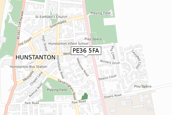
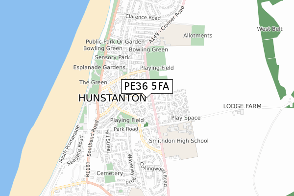
PE36 5FA maps


Licence: Open Government Licence (requires attribution)
Attribution: Contains OS data © Crown copyright and database right 2025
Source: Open Postcode Geo
Licence: Open Government Licence (requires attribution)
Attribution: Contains OS data © Crown copyright and database right 2025; Contains Royal Mail data © Royal Mail copyright and database right 2025; Source: Office for National Statistics licensed under the Open Government Licence v.3.0
PE36 5FA geodata
| Easting | 567649 |
| Northing | 340840 |
| Latitude | 52.938796 |
| Longitude | 0.493286 |
Where is PE36 5FA?
| Country | England |
| Postcode District | PE36 |
Politics
| Ward | Hunstanton |
|---|---|
| Constituency | North West Norfolk |
Transport
Nearest bus stops to PE36 5FA
| Park Road (Sandringham Road) | Hunstanton | 236m |
| Park Road (Sandringham Road) | Hunstanton | 299m |
| Smithdon High School (Downs Road) | Hunstanton | 304m |
| Lincoln Square (Cliff Parade) | Hunstanton | 590m |
| Lincoln Square (Cliff Parade) | Hunstanton | 604m |
Broadband
Broadband access in PE36 5FA (2020 data)
| Percentage of properties with Next Generation Access | 100.0% |
| Percentage of properties with Superfast Broadband | 100.0% |
| Percentage of properties with Ultrafast Broadband | 100.0% |
| Percentage of properties with Full Fibre Broadband | 100.0% |
Superfast Broadband is between 30Mbps and 300Mbps
Ultrafast Broadband is > 300Mbps
Broadband limitations in PE36 5FA (2020 data)
| Percentage of properties unable to receive 2Mbps | 0.0% |
| Percentage of properties unable to receive 5Mbps | 0.0% |
| Percentage of properties unable to receive 10Mbps | 0.0% |
| Percentage of properties unable to receive 30Mbps | 0.0% |
Deprivation
48.1% of English postcodes are less deprived than PE36 5FA:Food Standards Agency
Three nearest food hygiene ratings to PE36 5FA (metres)


➜ Get more ratings from the Food Standards Agency
Nearest post box to PE36 5FA
| Last Collection | |||
|---|---|---|---|
| Location | Mon-Fri | Sat | Distance |
| Hunstanton Post Office | 17:15 | 12:15 | 263m |
| Park Road | 17:15 | 11:30 | 270m |
| Avenue Road | 17:15 | 12:15 | 433m |
PE36 5FA ITL and PE36 5FA LAU
The below table lists the International Territorial Level (ITL) codes (formerly Nomenclature of Territorial Units for Statistics (NUTS) codes) and Local Administrative Units (LAU) codes for PE36 5FA:
| ITL 1 Code | Name |
|---|---|
| TLH | East |
| ITL 2 Code | Name |
| TLH1 | East Anglia |
| ITL 3 Code | Name |
| TLH16 | North and West Norfolk |
| LAU 1 Code | Name |
| E07000146 | King's Lynn and West Norfolk |
PE36 5FA census areas
The below table lists the Census Output Area (OA), Lower Layer Super Output Area (LSOA), and Middle Layer Super Output Area (MSOA) for PE36 5FA:
| Code | Name | |
|---|---|---|
| OA | E00135601 | |
| LSOA | E01026682 | King's Lynn and West Norfolk 001C |
| MSOA | E02005551 | King's Lynn and West Norfolk 001 |
Nearest postcodes to PE36 5FA
| PE36 5ET | Valentine Road | 70m |
| PE36 5HH | Valentine Road | 92m |
| PE36 5HF | Silfield Gardens | 112m |
| PE36 5JD | Nursery Drive | 113m |
| PE36 5EP | Westgate | 139m |
| PE36 5HJ | Homefields Road | 147m |
| PE36 5HE | James Street | 159m |
| PE36 5HB | Church Street | 163m |
| PE36 5NP | Valentine Road | 167m |
| PE36 5HL | Homefields Road | 172m |