Property/Postcode Data Search:
PE31 7FR maps, stats, and open data
PE31 7FR is located in the Snettisham electoral ward, within the local authority district of King's Lynn and West Norfolk and the English Parliamentary constituency of North West Norfolk. The Sub Integrated Care Board (ICB) Location is NHS Norfolk and Waveney ICB - 26A and the police force is Norfolk. This postcode has been in use since October 2019.
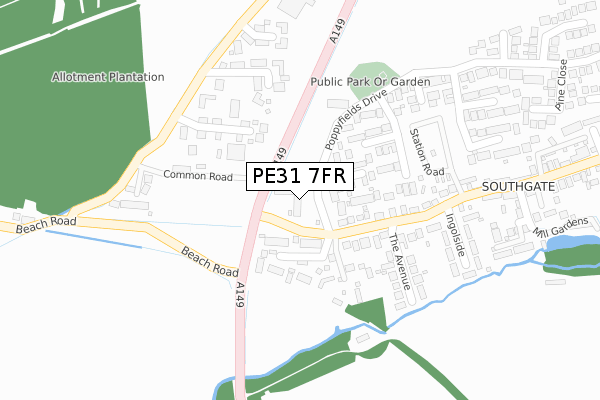
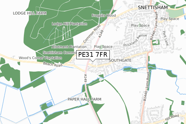
PE31 7FR maps


Source: OS Open Zoomstack (Ordnance Survey)
Licence: Open Government Licence (requires attribution)
Attribution: Contains OS data © Crown copyright and database right 2025
Source: Open Postcode Geo
Licence: Open Government Licence (requires attribution)
Attribution: Contains OS data © Crown copyright and database right 2025; Contains Royal Mail data © Royal Mail copyright and database right 2025; Source: Office for National Statistics licensed under the Open Government Licence v.3.0
Licence: Open Government Licence (requires attribution)
Attribution: Contains OS data © Crown copyright and database right 2025
Source: Open Postcode Geo
Licence: Open Government Licence (requires attribution)
Attribution: Contains OS data © Crown copyright and database right 2025; Contains Royal Mail data © Royal Mail copyright and database right 2025; Source: Office for National Statistics licensed under the Open Government Licence v.3.0
PE31 7FR geodata
| Easting | 567670 |
| Northing | 333551 |
| Latitude | 52.873327 |
| Longitude | 0.489843 |
Where is PE31 7FR?
| Country | England |
| Postcode District | PE31 |
Politics
| Ward | Snettisham |
|---|---|
| Constituency | North West Norfolk |
Transport
Nearest bus stops to PE31 7FR
| Forget-me-not Road (Poppyfields Drive) | Snettisham | 218m |
| Forget-me-not Road (Poppyfields Drive) | Snettisham | 229m |
| Bluebell Drive (Poppyfield Drive) | Snettisham | 411m |
| Bluebell Drive (Poppyfields Drive) | Snettisham | 411m |
| Pine Close (Strickland Avenue) | Snettisham | 462m |
Deprivation
44.9% of English postcodes are less deprived than PE31 7FR:Food Standards Agency
Three nearest food hygiene ratings to PE31 7FR (metres)
The Granary Snettisham

6 Beach Road
76m
Maldon Chocolates

2 Poppyfields Retail Park
93m
Poppylicious

10 Poppyfields Retail Park
177m
➜ Get more ratings from the Food Standards Agency
Nearest post box to PE31 7FR
| Last Collection | |||
|---|---|---|---|
| Location | Mon-Fri | Sat | Distance |
| Hill Road | 16:00 | 08:00 | 1,521m |
| Collingwood Close | 16:30 | 08:25 | 2,869m |
| Cheney Crescent | 16:30 | 08:45 | 3,235m |
PE31 7FR ITL and PE31 7FR LAU
The below table lists the International Territorial Level (ITL) codes (formerly Nomenclature of Territorial Units for Statistics (NUTS) codes) and Local Administrative Units (LAU) codes for PE31 7FR:
| ITL 1 Code | Name |
|---|---|
| TLH | East |
| ITL 2 Code | Name |
| TLH1 | East Anglia |
| ITL 3 Code | Name |
| TLH16 | North and West Norfolk |
| LAU 1 Code | Name |
| E07000146 | King's Lynn and West Norfolk |
PE31 7FR census areas
The below table lists the Census Output Area (OA), Lower Layer Super Output Area (LSOA), and Middle Layer Super Output Area (MSOA) for PE31 7FR:
| Code | Name | |
|---|---|---|
| OA | E00135716 | |
| LSOA | E01026701 | King's Lynn and West Norfolk 003D |
| MSOA | E02005553 | King's Lynn and West Norfolk 003 |
Nearest postcodes to PE31 7FR
| PE31 7QU | Beach Road | 76m |
| PE31 7UH | Sweetbriar Close | 96m |
| PE31 7QS | Station Road | 151m |
| PE31 7UF | Wysteria Way | 158m |
| PE31 7UG | Meadowsweet Close | 173m |
| PE31 7PR | The Meadows | 206m |
| PE31 7PF | Common Road | 223m |
| PE31 7UJ | Forget-me-not Road | 223m |
| PE31 7QT | The Avenue | 225m |
| PE31 7JG | Common View | 241m |