PE15 8FH maps, stats, and open data
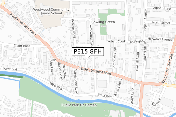
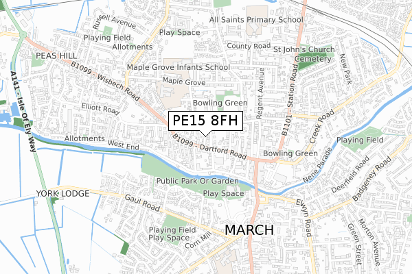
PE15 8FH lies on Clifton Close in March. PE15 8FH is located in the March North electoral ward, within the local authority district of Fenland and the English Parliamentary constituency of North East Cambridgeshire. The Sub Integrated Care Board (ICB) Location is NHS Cambridgeshire and Peterborough ICB - 06H and the police force is Cambridgeshire. This postcode has been in use since June 2019.
PE15 8FH maps


Licence: Open Government Licence (requires attribution)
Attribution: Contains OS data © Crown copyright and database right 2025
Source: Open Postcode Geo
Licence: Open Government Licence (requires attribution)
Attribution: Contains OS data © Crown copyright and database right 2025; Contains Royal Mail data © Royal Mail copyright and database right 2025; Source: Office for National Statistics licensed under the Open Government Licence v.3.0
PE15 8FH geodata
| Easting | 541372 |
| Northing | 297015 |
| Latitude | 52.552642 |
| Longitude | 0.083717 |
Where is PE15 8FH?
| Street | Clifton Close |
| Town/City | March |
| Country | England |
| Postcode District | PE15 |
Politics
| Ward | March North |
|---|---|
| Constituency | North East Cambridgeshire |
House Prices
Sales of detached houses in PE15 8FH
2024 4 MAR £278,000 |
2022 27 JUL £280,000 |
7, PILGRIMS CLOSE, MARCH, PE15 8FH 2019 30 AUG £240,000 |
2019 30 AUG £240,000 |
Licence: Contains HM Land Registry data © Crown copyright and database right 2025. This data is licensed under the Open Government Licence v3.0.
Transport
Nearest bus stops to PE15 8FH
| Rookswood Road (Dartford Road) | March | 81m |
| Rookswood Road (Dartford Road) | March | 180m |
| Elliott Road (Wisbech Road) | March | 266m |
| Darthill Road | March | 283m |
| Darthill Road | March | 298m |
Nearest railway stations to PE15 8FH
| March Station | 1km |
Broadband
Broadband access in PE15 8FH (2020 data)
| Percentage of properties with Next Generation Access | 100.0% |
| Percentage of properties with Superfast Broadband | 100.0% |
| Percentage of properties with Ultrafast Broadband | 0.0% |
| Percentage of properties with Full Fibre Broadband | 0.0% |
Superfast Broadband is between 30Mbps and 300Mbps
Ultrafast Broadband is > 300Mbps
Broadband limitations in PE15 8FH (2020 data)
| Percentage of properties unable to receive 2Mbps | 0.0% |
| Percentage of properties unable to receive 5Mbps | 0.0% |
| Percentage of properties unable to receive 10Mbps | 0.0% |
| Percentage of properties unable to receive 30Mbps | 0.0% |
Deprivation
49.7% of English postcodes are less deprived than PE15 8FH:Food Standards Agency
Three nearest food hygiene ratings to PE15 8FH (metres)


➜ Get more ratings from the Food Standards Agency
Nearest post box to PE15 8FH
| Last Collection | |||
|---|---|---|---|
| Location | Mon-Fri | Sat | Distance |
| March Delivery Office | 18:15 | 12:45 | 243m |
| March Post Office | 17:30 | 11:30 | 377m |
| Burn Street | 17:00 | 11:00 | 401m |
PE15 8FH ITL and PE15 8FH LAU
The below table lists the International Territorial Level (ITL) codes (formerly Nomenclature of Territorial Units for Statistics (NUTS) codes) and Local Administrative Units (LAU) codes for PE15 8FH:
| ITL 1 Code | Name |
|---|---|
| TLH | East |
| ITL 2 Code | Name |
| TLH1 | East Anglia |
| ITL 3 Code | Name |
| TLH12 | Cambridgeshire CC |
| LAU 1 Code | Name |
| E07000010 | Fenland |
PE15 8FH census areas
The below table lists the Census Output Area (OA), Lower Layer Super Output Area (LSOA), and Middle Layer Super Output Area (MSOA) for PE15 8FH:
| Code | Name | |
|---|---|---|
| OA | E00091237 | |
| LSOA | E01018082 | Fenland 005B |
| MSOA | E02003746 | Fenland 005 |
Nearest postcodes to PE15 8FH
| PE15 8AT | Festival Homes | 34m |
| PE15 8AU | Westwood Avenue | 58m |
| PE15 8BB | Dartford Road | 79m |
| PE15 8BJ | St Marys Drive | 96m |
| PE15 8BQ | Dartford Road | 123m |
| PE15 8AS | Rookswood Road | 132m |
| PE15 8AN | Dartford Road | 133m |
| PE15 8AJ | Gordon Avenue | 136m |
| PE15 8BA | Henson Road | 146m |
| PE15 8BG | Marylebone Road | 147m |