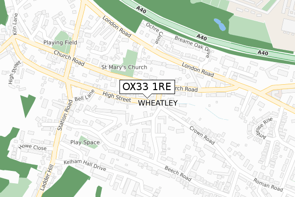
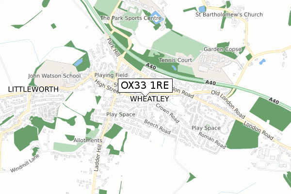
OX33 1RE is located in the Wheatley electoral ward, within the local authority district of South Oxfordshire and the English Parliamentary constituency of Henley. The Sub Integrated Care Board (ICB) Location is NHS Buckinghamshire, Oxfordshire and Berkshire West ICB - 10Q and the police force is Thames Valley. This postcode has been in use since April 2020.


GetTheData
Source: OS Open Zoomstack (Ordnance Survey)
Licence: Open Government Licence (requires attribution)
Attribution: Contains OS data © Crown copyright and database right 2025
Source: Open Postcode Geo
Licence: Open Government Licence (requires attribution)
Attribution: Contains OS data © Crown copyright and database right 2025; Contains Royal Mail data © Royal Mail copyright and database right 2025; Source: Office for National Statistics licensed under the Open Government Licence v.3.0
| Easting | 459790 |
| Northing | 205690 |
| Latitude | 51.746732 |
| Longitude | -1.135345 |
GetTheData
Source: Open Postcode Geo
Licence: Open Government Licence
| Country | England |
| Postcode District | OX33 |
➜ See where OX33 is on a map ➜ Where is Wheatley? | |
GetTheData
Source: Land Registry Price Paid Data
Licence: Open Government Licence
| Ward | Wheatley |
| Constituency | Henley |
GetTheData
Source: ONS Postcode Database
Licence: Open Government Licence
| Friday Lane (Church Road) | Wheatley | 49m |
| Friday Lane (Church Road) | Wheatley | 77m |
| The Glebe (London Road) | Wheatley | 183m |
| The Glebe (London Road) | Wheatley | 187m |
| Kings Arms Ph (Church Road) | Wheatley | 203m |
GetTheData
Source: NaPTAN
Licence: Open Government Licence
GetTheData
Source: ONS Postcode Database
Licence: Open Government Licence


➜ Get more ratings from the Food Standards Agency
GetTheData
Source: Food Standards Agency
Licence: FSA terms & conditions
| Last Collection | |||
|---|---|---|---|
| Location | Mon-Fri | Sat | Distance |
| Wheatley Post Office | 18:15 | 11:45 | 9m |
| Church Road | 16:30 | 09:30 | 301m |
| Ladder Hill | 16:45 | 10:00 | 529m |
GetTheData
Source: Dracos
Licence: Creative Commons Attribution-ShareAlike
The below table lists the International Territorial Level (ITL) codes (formerly Nomenclature of Territorial Units for Statistics (NUTS) codes) and Local Administrative Units (LAU) codes for OX33 1RE:
| ITL 1 Code | Name |
|---|---|
| TLJ | South East (England) |
| ITL 2 Code | Name |
| TLJ1 | Berkshire, Buckinghamshire and Oxfordshire |
| ITL 3 Code | Name |
| TLJ14 | Oxfordshire CC |
| LAU 1 Code | Name |
| E07000179 | South Oxfordshire |
GetTheData
Source: ONS Postcode Directory
Licence: Open Government Licence
The below table lists the Census Output Area (OA), Lower Layer Super Output Area (LSOA), and Middle Layer Super Output Area (MSOA) for OX33 1RE:
| Code | Name | |
|---|---|---|
| OA | E00146099 | |
| LSOA | E01028684 | South Oxfordshire 004E |
| MSOA | E02005961 | South Oxfordshire 004 |
GetTheData
Source: ONS Postcode Directory
Licence: Open Government Licence
| OX33 1LT | Fridays Lane | 31m |
| OX33 1UE | High Street | 55m |
| OX33 1UF | Crown Square | 57m |
| OX33 1XP | High Street | 86m |
| OX33 1UG | Farm Close Lane | 90m |
| OX33 1UH | Crown Road | 118m |
| OX33 1UT | Mulberry Drive | 122m |
| OX33 1LZ | Church Road | 125m |
| OX33 1XJ | Farm Close Road | 126m |
| OX33 1YA | London Road | 144m |
GetTheData
Source: Open Postcode Geo; Land Registry Price Paid Data
Licence: Open Government Licence