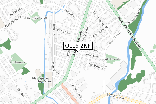
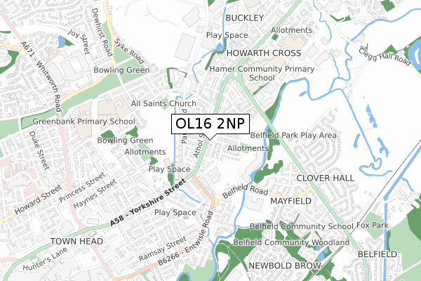
OL16 2NP is located in the Central Rochdale electoral ward, within the metropolitan district of Rochdale and the English Parliamentary constituency of Rochdale. The Sub Integrated Care Board (ICB) Location is NHS Greater Manchester ICB - 01D and the police force is Greater Manchester. This postcode has been in use since April 2018.


GetTheData
Source: OS Open Zoomstack (Ordnance Survey)
Licence: Open Government Licence (requires attribution)
Attribution: Contains OS data © Crown copyright and database right 2025
Source: Open Postcode Geo
Licence: Open Government Licence (requires attribution)
Attribution: Contains OS data © Crown copyright and database right 2025; Contains Royal Mail data © Royal Mail copyright and database right 2025; Source: Office for National Statistics licensed under the Open Government Licence v.3.0
| Easting | 390651 |
| Northing | 414320 |
| Latitude | 53.625345 |
| Longitude | -2.142827 |
GetTheData
Source: Open Postcode Geo
Licence: Open Government Licence
| Country | England |
| Postcode District | OL16 |
➜ See where OL16 is on a map ➜ Where is Rochdale? | |
GetTheData
Source: Land Registry Price Paid Data
Licence: Open Government Licence
| Ward | Central Rochdale |
| Constituency | Rochdale |
GetTheData
Source: ONS Postcode Database
Licence: Open Government Licence
| Halifax Rd/Cook St (Halifax Rd) | Howarth Cross | 54m |
| Halifax Rd/Entwisle Rd (Halifax Rd) | Belfield | 99m |
| Halifax Rd/Red Ln (Halifax Rd) | Howarth Cross | 147m |
| Halifax Rd/Entwisle Rd (Halifax Rd) | Belfield | 148m |
| Halifax Rd/Red Ln (Halifax Rd) | Howarth Cross | 252m |
| Rochdale Interchange (Manchester Metrolink) (Smith Street) | Rochdale | 1,216m |
| Newbold (Manchester Metrolink) (Kingsway) | Newbold | 1,416m |
| Rochdale Station | 1.8km |
| Smithy Bridge Station | 2.1km |
| Littleborough Station | 3.7km |
GetTheData
Source: NaPTAN
Licence: Open Government Licence
GetTheData
Source: ONS Postcode Database
Licence: Open Government Licence


➜ Get more ratings from the Food Standards Agency
GetTheData
Source: Food Standards Agency
Licence: FSA terms & conditions
| Last Collection | |||
|---|---|---|---|
| Location | Mon-Fri | Sat | Distance |
| Belfield P.o. | 18:15 | 11:30 | 709m |
| Smallbridge P.o. | 17:15 | 11:30 | 971m |
| Townhead P.o. | 18:30 | 11:30 | 1,027m |
GetTheData
Source: Dracos
Licence: Creative Commons Attribution-ShareAlike
The below table lists the International Territorial Level (ITL) codes (formerly Nomenclature of Territorial Units for Statistics (NUTS) codes) and Local Administrative Units (LAU) codes for OL16 2NP:
| ITL 1 Code | Name |
|---|---|
| TLD | North West (England) |
| ITL 2 Code | Name |
| TLD3 | Greater Manchester |
| ITL 3 Code | Name |
| TLD37 | Greater Manchester North East |
| LAU 1 Code | Name |
| E08000005 | Rochdale |
GetTheData
Source: ONS Postcode Directory
Licence: Open Government Licence
The below table lists the Census Output Area (OA), Lower Layer Super Output Area (LSOA), and Middle Layer Super Output Area (MSOA) for OL16 2NP:
| Code | Name | |
|---|---|---|
| OA | E00028247 | |
| LSOA | E01033258 | Rochdale 008G |
| MSOA | E02001139 | Rochdale 008 |
GetTheData
Source: ONS Postcode Directory
Licence: Open Government Licence
| OL12 9DS | Tudor Court | 44m |
| OL12 9BQ | Athol Street | 54m |
| OL16 2AL | Halifax Road | 59m |
| OL16 2AY | The Foothills | 66m |
| OL16 2AZ | Lower Roch Road | 82m |
| OL12 9BD | Halifax Road | 94m |
| OL16 2NH | Cook Terrace | 96m |
| OL16 2LZ | Cook Street | 97m |
| OL12 9BN | Ernest Terrace | 99m |
| OL16 2NA | Dean Street | 104m |
GetTheData
Source: Open Postcode Geo; Land Registry Price Paid Data
Licence: Open Government Licence