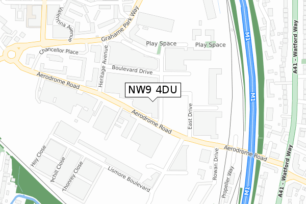
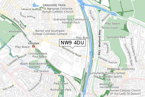
NW9 4DU is located in the Colindale South electoral ward, within the London borough of Barnet and the English Parliamentary constituency of Hendon. The Sub Integrated Care Board (ICB) Location is NHS North Central London ICB - 93C and the police force is Metropolitan Police. This postcode has been in use since August 2019.


GetTheData
Source: OS Open Zoomstack (Ordnance Survey)
Licence: Open Government Licence (requires attribution)
Attribution: Contains OS data © Crown copyright and database right 2025
Source: Open Postcode Geo
Licence: Open Government Licence (requires attribution)
Attribution: Contains OS data © Crown copyright and database right 2025; Contains Royal Mail data © Royal Mail copyright and database right 2025; Source: Office for National Statistics licensed under the Open Government Licence v.3.0
| Easting | 521988 |
| Northing | 189923 |
| Latitude | 51.594958 |
| Longitude | -0.240267 |
GetTheData
Source: Open Postcode Geo
Licence: Open Government Licence
| Country | England |
| Postcode District | NW9 |
➜ See where NW9 is on a map ➜ Where is London? | |
GetTheData
Source: Land Registry Price Paid Data
Licence: Open Government Licence
| Ward | Colindale South |
| Constituency | Hendon |
GetTheData
Source: ONS Postcode Database
Licence: Open Government Licence
| Heritage Avenue | Colindale | 127m |
| Heritage Avenue | Colindale | 128m |
| Rowan Drive | Hendon | 271m |
| Rowan Drive | Hendon | 292m |
| Beaufort Park (Grahame Park Way) | Colindale | 325m |
| Colindale Underground Station | Colindale | 669m |
| Hendon Central Underground Station | Hendon Central | 1,614m |
| Hendon Station | 1.7km |
| Mill Hill Broadway Station | 2.1km |
| Cricklewood Station | 4.5km |
GetTheData
Source: NaPTAN
Licence: Open Government Licence
GetTheData
Source: ONS Postcode Database
Licence: Open Government Licence


➜ Get more ratings from the Food Standards Agency
GetTheData
Source: Food Standards Agency
Licence: FSA terms & conditions
| Last Collection | |||
|---|---|---|---|
| Location | Mon-Fri | Sat | Distance |
| Aerodrome Road | 17:30 | 12:00 | 102m |
| 301 Watford Way | 17:30 | 12:00 | 420m |
| Nw9 Great Strand | 17:30 | 12:00 | 464m |
GetTheData
Source: Dracos
Licence: Creative Commons Attribution-ShareAlike
The below table lists the International Territorial Level (ITL) codes (formerly Nomenclature of Territorial Units for Statistics (NUTS) codes) and Local Administrative Units (LAU) codes for NW9 4DU:
| ITL 1 Code | Name |
|---|---|
| TLI | London |
| ITL 2 Code | Name |
| TLI7 | Outer London - West and North West |
| ITL 3 Code | Name |
| TLI71 | Barnet |
| LAU 1 Code | Name |
| E09000003 | Barnet |
GetTheData
Source: ONS Postcode Directory
Licence: Open Government Licence
The below table lists the Census Output Area (OA), Lower Layer Super Output Area (LSOA), and Middle Layer Super Output Area (MSOA) for NW9 4DU:
| Code | Name | |
|---|---|---|
| OA | E00174890 | |
| LSOA | E01033572 | Barnet 030E |
| MSOA | E02000053 | Barnet 030 |
GetTheData
Source: ONS Postcode Directory
Licence: Open Government Licence
| NW9 5UZ | Areodrome Road | 57m |
| NW9 5WZ | Aerodrome Road | 58m |
| NW9 5XD | Boulevard Drive | 94m |
| NW9 5NW | Aerodrome Road | 103m |
| NW9 5QZ | Boulevard Drive | 120m |
| NW9 5QG | Boulevard Drive | 121m |
| NW9 5PQ | Boulevard Drive | 138m |
| NW9 5YS | Hundred Acre | 142m |
| NW9 5JH | Boulevard Drive | 149m |
| NW9 5WT | Heritage Avenue | 150m |
GetTheData
Source: Open Postcode Geo; Land Registry Price Paid Data
Licence: Open Government Licence