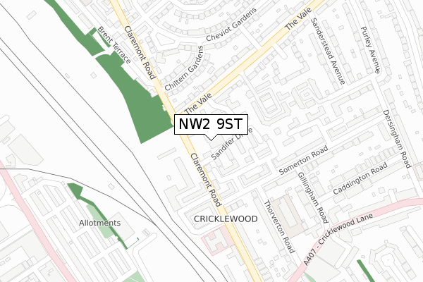
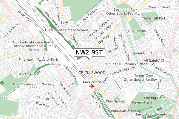
NW2 9ST is located in the Childs Hill electoral ward, within the London borough of Barnet and the English Parliamentary constituency of Finchley and Golders Green. The Sub Integrated Care Board (ICB) Location is NHS North Central London ICB - 93C and the police force is Metropolitan Police. This postcode has been in use since February 2019.


GetTheData
Source: OS Open Zoomstack (Ordnance Survey)
Licence: Open Government Licence (requires attribution)
Attribution: Contains OS data © Crown copyright and database right 2025
Source: Open Postcode Geo
Licence: Open Government Licence (requires attribution)
Attribution: Contains OS data © Crown copyright and database right 2025; Contains Royal Mail data © Royal Mail copyright and database right 2025; Source: Office for National Statistics licensed under the Open Government Licence v.3.0
| Easting | 523933 |
| Northing | 186320 |
| Latitude | 51.562153 |
| Longitude | -0.213473 |
GetTheData
Source: Open Postcode Geo
Licence: Open Government Licence
| Country | England |
| Postcode District | NW2 |
➜ See where NW2 is on a map ➜ Where is London? | |
GetTheData
Source: Land Registry Price Paid Data
Licence: Open Government Licence
| Ward | Childs Hill |
| Constituency | Finchley And Golders Green |
GetTheData
Source: ONS Postcode Database
Licence: Open Government Licence
| Somerton Road (Claremont Road) | Cricklewood | 119m |
| Somerton Road (Claremont Road) | Cricklewood | 139m |
| Pennine Drive | Cricklewood | 237m |
| Pennine Drive (Claremont Road) | Cricklewood | 279m |
| Cricklewood | Cricklewood | 308m |
| Willesden Green Underground Station | Willesden Green | 1,551m |
| Golders Green Underground Station | Golders Green | 1,756m |
| Cricklewood Station | 0.4km |
| Brondesbury Station | 2km |
| West Hampstead Thameslink Station | 2.1km |
GetTheData
Source: NaPTAN
Licence: Open Government Licence
GetTheData
Source: ONS Postcode Database
Licence: Open Government Licence


➜ Get more ratings from the Food Standards Agency
GetTheData
Source: Food Standards Agency
Licence: FSA terms & conditions
| Last Collection | |||
|---|---|---|---|
| Location | Mon-Fri | Sat | Distance |
| Cricklewood Delivery Office | 47m | ||
| Cricklewood Delivery Office | 18:45 | 12:00 | 48m |
| Gillingham Road | 17:30 | 12:00 | 226m |
GetTheData
Source: Dracos
Licence: Creative Commons Attribution-ShareAlike
The below table lists the International Territorial Level (ITL) codes (formerly Nomenclature of Territorial Units for Statistics (NUTS) codes) and Local Administrative Units (LAU) codes for NW2 9ST:
| ITL 1 Code | Name |
|---|---|
| TLI | London |
| ITL 2 Code | Name |
| TLI7 | Outer London - West and North West |
| ITL 3 Code | Name |
| TLI71 | Barnet |
| LAU 1 Code | Name |
| E09000003 | Barnet |
GetTheData
Source: ONS Postcode Directory
Licence: Open Government Licence
The below table lists the Census Output Area (OA), Lower Layer Super Output Area (LSOA), and Middle Layer Super Output Area (MSOA) for NW2 9ST:
| Code | Name | |
|---|---|---|
| OA | E00174902 | |
| LSOA | E01000142 | Barnet 040B |
| MSOA | E02000063 | Barnet 040 |
GetTheData
Source: ONS Postcode Directory
Licence: Open Government Licence
| NW11 8SX | Compton Close | 35m |
| NW2 1TA | Sandifer Drive | 43m |
| NW11 8SQ | Woodvale Way | 65m |
| NW11 8SF | Woodvale Way | 101m |
| NW2 1UN | Draycott Close | 114m |
| NW2 1UP | Upton Close | 126m |
| NW2 1UW | Draycott Close | 130m |
| NW11 8TN | The Vale | 150m |
| NW11 8SR | The Vale | 155m |
| NW2 1PU | Chiltern Gardens | 156m |
GetTheData
Source: Open Postcode Geo; Land Registry Price Paid Data
Licence: Open Government Licence