NR8 5DE maps, stats, and open data
NR8 5DE is located in the Old Costessey electoral ward, within the local authority district of South Norfolk and the English Parliamentary constituency of South Norfolk. The Sub Integrated Care Board (ICB) Location is NHS Norfolk and Waveney ICB - 26A and the police force is Norfolk. This postcode has been in use since December 2017.
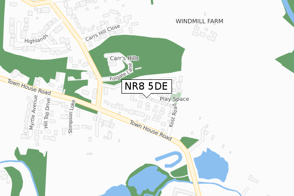
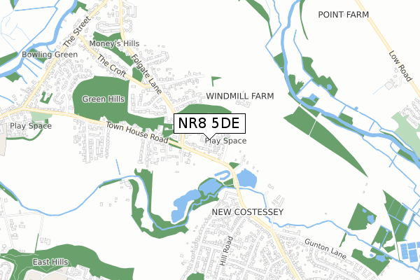
NR8 5DE maps


Licence: Open Government Licence (requires attribution)
Attribution: Contains OS data © Crown copyright and database right 2025
Source: Open Postcode Geo
Licence: Open Government Licence (requires attribution)
Attribution: Contains OS data © Crown copyright and database right 2025; Contains Royal Mail data © Royal Mail copyright and database right 2025; Source: Office for National Statistics licensed under the Open Government Licence v.3.0
NR8 5DE geodata
| Easting | 618324 |
| Northing | 311468 |
| Latitude | 52.656982 |
| Longitude | 1.226624 |
Where is NR8 5DE?
| Country | England |
| Postcode District | NR8 |
Politics
| Ward | Old Costessey |
|---|---|
| Constituency | South Norfolk |
House Prices
Sales of detached houses in NR8 5DE
2025 21 MAR £565,000 |
2022 8 DEC £455,000 |
2022 8 APR £450,000 |
2022 22 MAR £420,000 |
2021 20 AUG £450,000 |
2021 29 JAN £465,000 |
2021 26 JAN £400,000 |
2020 18 DEC £500,000 |
1, KOST ROAD, COSTESSEY, NORWICH, NR8 5DE 2020 26 AUG £430,000 |
2, KOST ROAD, COSTESSEY, NORWICH, NR8 5DE 2020 15 JUL £366,800 |
Licence: Contains HM Land Registry data © Crown copyright and database right 2025. This data is licensed under the Open Government Licence v3.0.
Transport
Nearest bus stops to NR8 5DE
| Folgate Lane (Town House Road) | Costessey | 132m |
| Folgate Lane (Town House Road) | Costessey | 191m |
| Myrtle Avenue (Town House Road) | Costessey | 405m |
| Myrtle Avenue (Town House Road) | Costessey | 405m |
| Hill Road (Norwich Road) | New Costessey | 514m |
Broadband
Broadband access in NR8 5DE (2020 data)
| Percentage of properties with Next Generation Access | 100.0% |
| Percentage of properties with Superfast Broadband | 100.0% |
| Percentage of properties with Ultrafast Broadband | 100.0% |
| Percentage of properties with Full Fibre Broadband | 100.0% |
Superfast Broadband is between 30Mbps and 300Mbps
Ultrafast Broadband is > 300Mbps
Broadband limitations in NR8 5DE (2020 data)
| Percentage of properties unable to receive 2Mbps | 0.0% |
| Percentage of properties unable to receive 5Mbps | 0.0% |
| Percentage of properties unable to receive 10Mbps | 0.0% |
| Percentage of properties unable to receive 30Mbps | 0.0% |
Deprivation
39.8% of English postcodes are less deprived than NR8 5DE:Food Standards Agency
Three nearest food hygiene ratings to NR8 5DE (metres)


➜ Get more ratings from the Food Standards Agency
Nearest post box to NR8 5DE
| Last Collection | |||
|---|---|---|---|
| Location | Mon-Fri | Sat | Distance |
| Townhouse Road / Folgate Ln | 17:00 | 08:00 | 183m |
| Hill Road | 18:15 | 11:00 | 724m |
| Folgate Lane | 17:00 | 11:15 | 935m |
NR8 5DE ITL and NR8 5DE LAU
The below table lists the International Territorial Level (ITL) codes (formerly Nomenclature of Territorial Units for Statistics (NUTS) codes) and Local Administrative Units (LAU) codes for NR8 5DE:
| ITL 1 Code | Name |
|---|---|
| TLH | East |
| ITL 2 Code | Name |
| TLH1 | East Anglia |
| ITL 3 Code | Name |
| TLH17 | Breckland and South Norfolk |
| LAU 1 Code | Name |
| E07000149 | South Norfolk |
NR8 5DE census areas
The below table lists the Census Output Area (OA), Lower Layer Super Output Area (LSOA), and Middle Layer Super Output Area (MSOA) for NR8 5DE:
| Code | Name | |
|---|---|---|
| OA | E00136952 | |
| LSOA | E01026924 | South Norfolk 001E |
| MSOA | E02005597 | South Norfolk 001 |
Nearest postcodes to NR8 5DE
| NR8 5BY | Townhouse Road | 80m |
| NR8 5EF | Folgate Lane | 220m |
| NR8 5DW | Carrs Hill Close | 297m |
| NR8 5BX | Townhouse Road | 319m |
| NR8 5DX | Hill Top Drive | 348m |
| NR5 0NY | Ottaway Close | 355m |
| NR8 5EB | The Glade | 359m |
| NR8 5ED | Windmill Lane | 387m |
| NR8 5DA | Myrtle Avenue | 424m |
| NR5 0LA | Norwich Road | 428m |