Property/Postcode Data Search:
NR7 9BA maps, stats, and open data
NR7 9BA is located in the Crome electoral ward, within the local authority district of Norwich and the English Parliamentary constituency of Norwich North. The Sub Integrated Care Board (ICB) Location is NHS Norfolk and Waveney ICB - 26A and the police force is Norfolk. This postcode has been in use since November 2018.
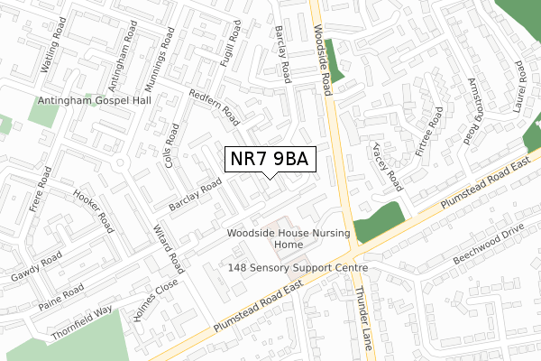
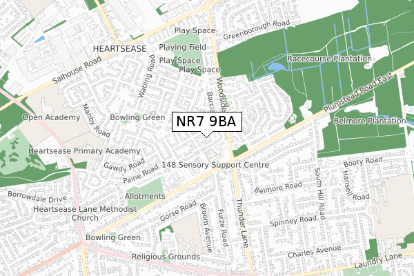
NR7 9BA maps


Source: OS Open Zoomstack (Ordnance Survey)
Licence: Open Government Licence (requires attribution)
Attribution: Contains OS data © Crown copyright and database right 2025
Source: Open Postcode Geo
Licence: Open Government Licence (requires attribution)
Attribution: Contains OS data © Crown copyright and database right 2025; Contains Royal Mail data © Royal Mail copyright and database right 2025; Source: Office for National Statistics licensed under the Open Government Licence v.3.0
Licence: Open Government Licence (requires attribution)
Attribution: Contains OS data © Crown copyright and database right 2025
Source: Open Postcode Geo
Licence: Open Government Licence (requires attribution)
Attribution: Contains OS data © Crown copyright and database right 2025; Contains Royal Mail data © Royal Mail copyright and database right 2025; Source: Office for National Statistics licensed under the Open Government Licence v.3.0
NR7 9BA geodata
| Easting | 626079 |
| Northing | 310212 |
| Latitude | 52.642536 |
| Longitude | 1.340220 |
Where is NR7 9BA?
| Country | England |
| Postcode District | NR7 |
Politics
| Ward | Crome |
|---|---|
| Constituency | Norwich North |
Transport
Nearest bus stops to NR7 9BA
| Woodside (Plumstead Road) | Thorpe St Andrew | 195m |
| Woodside (Plumstead Road) | Thorpe St Andrew | 244m |
| Beechwood Drive (Thunder Lane) | Thorpe St Andrew | 259m |
| Holmes Close (Witard Road) | Heartsease | 259m |
| Beechwood Drive (Thunder Lane) | Thorpe St Andrew | 265m |
Nearest railway stations to NR7 9BA
| Norwich Station | 2.8km |
| Salhouse Station | 5.1km |
Deprivation
91.9% of English postcodes are less deprived than NR7 9BA:Food Standards Agency
Three nearest food hygiene ratings to NR7 9BA (metres)
Woodside House Nursing Home

142 Woodside Road
128m
Woodside Snooker Centre

129 Woodside Road
142m
Fish's Newsagents

140 Plumstead Road East
217m
➜ Get more ratings from the Food Standards Agency
Nearest post box to NR7 9BA
| Last Collection | |||
|---|---|---|---|
| Location | Mon-Fri | Sat | Distance |
| Beechwood Drive | 18:15 | 11:00 | 239m |
| Barclay Road | 18:00 | 11:00 | 247m |
| Witard Road | 18:00 | 11:00 | 286m |
NR7 9BA ITL and NR7 9BA LAU
The below table lists the International Territorial Level (ITL) codes (formerly Nomenclature of Territorial Units for Statistics (NUTS) codes) and Local Administrative Units (LAU) codes for NR7 9BA:
| ITL 1 Code | Name |
|---|---|
| TLH | East |
| ITL 2 Code | Name |
| TLH1 | East Anglia |
| ITL 3 Code | Name |
| TLH15 | Norwich and East Norfolk |
| LAU 1 Code | Name |
| E07000148 | Norwich |
NR7 9BA census areas
The below table lists the Census Output Area (OA), Lower Layer Super Output Area (LSOA), and Middle Layer Super Output Area (MSOA) for NR7 9BA:
| Code | Name | |
|---|---|---|
| OA | E00136310 | |
| LSOA | E01026809 | Norwich 004G |
| MSOA | E02005587 | Norwich 004 |
Nearest postcodes to NR7 9BA
| NR7 9QG | Thurling Plain | 39m |
| NR7 9QB | Barclay Road | 41m |
| NR7 9QH | Barclay Green | 77m |
| NR7 9QL | Woodside Road | 86m |
| NR7 9QQ | Thurling Loke | 101m |
| NR7 9RF | Redfern Close | 128m |
| NR7 9RB | Redfern Road | 135m |
| NR7 9QP | Barclay Road | 136m |
| NR7 9HA | Woodside Road | 140m |
| NR7 9QN | Woodside Road | 158m |