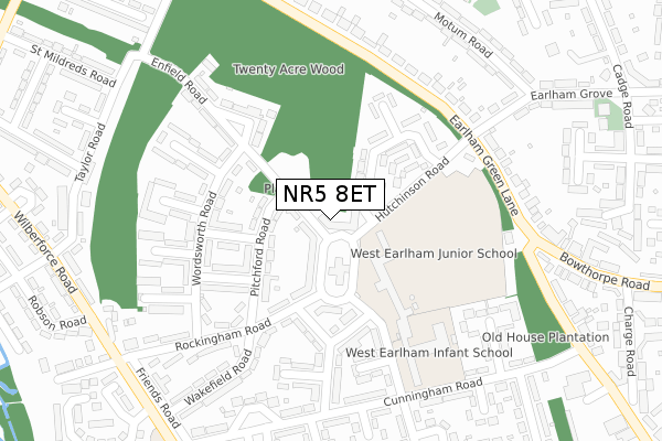
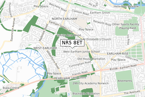
NR5 8ET is located in the University electoral ward, within the local authority district of Norwich and the English Parliamentary constituency of Norwich South. The Sub Integrated Care Board (ICB) Location is NHS Norfolk and Waveney ICB - 26A and the police force is Norfolk. This postcode has been in use since September 2017.


GetTheData
Source: OS Open Zoomstack (Ordnance Survey)
Licence: Open Government Licence (requires attribution)
Attribution: Contains OS data © Crown copyright and database right 2025
Source: Open Postcode Geo
Licence: Open Government Licence (requires attribution)
Attribution: Contains OS data © Crown copyright and database right 2025; Contains Royal Mail data © Royal Mail copyright and database right 2025; Source: Office for National Statistics licensed under the Open Government Licence v.3.0
| Easting | 619443 |
| Northing | 308777 |
| Latitude | 52.632378 |
| Longitude | 1.241352 |
GetTheData
Source: Open Postcode Geo
Licence: Open Government Licence
| Country | England |
| Postcode District | NR5 |
➜ See where NR5 is on a map ➜ Where is Norwich? | |
GetTheData
Source: Land Registry Price Paid Data
Licence: Open Government Licence
| Ward | University |
| Constituency | Norwich South |
GetTheData
Source: ONS Postcode Database
Licence: Open Government Licence
| Retail Park (West Earlham Centre) | West Earlham | 54m |
| Retail Park (Earlham West Centre) | West Earlham | 79m |
| Douglas Haig Road (Hutchinson Road) | Norwich | 205m |
| Hutchinson Road (Earlham Green Lane) | Norwich | 248m |
| Rockingham Road | Norwich | 249m |
| Norwich Station | 4.5km |
GetTheData
Source: NaPTAN
Licence: Open Government Licence
GetTheData
Source: ONS Postcode Database
Licence: Open Government Licence


➜ Get more ratings from the Food Standards Agency
GetTheData
Source: Food Standards Agency
Licence: FSA terms & conditions
| Last Collection | |||
|---|---|---|---|
| Location | Mon-Fri | Sat | Distance |
| West Earlham Post Office | 17:30 | 11:00 | 45m |
| 384 Bowthorpe Road | 17:30 | 11:00 | 368m |
| Wilberforce Road | 17:30 | 11:00 | 461m |
GetTheData
Source: Dracos
Licence: Creative Commons Attribution-ShareAlike
The below table lists the International Territorial Level (ITL) codes (formerly Nomenclature of Territorial Units for Statistics (NUTS) codes) and Local Administrative Units (LAU) codes for NR5 8ET:
| ITL 1 Code | Name |
|---|---|
| TLH | East |
| ITL 2 Code | Name |
| TLH1 | East Anglia |
| ITL 3 Code | Name |
| TLH15 | Norwich and East Norfolk |
| LAU 1 Code | Name |
| E07000148 | Norwich |
GetTheData
Source: ONS Postcode Directory
Licence: Open Government Licence
The below table lists the Census Output Area (OA), Lower Layer Super Output Area (LSOA), and Middle Layer Super Output Area (MSOA) for NR5 8ET:
| Code | Name | |
|---|---|---|
| OA | E00136240 | |
| LSOA | E01026796 | Norwich 005F |
| MSOA | E02005588 | Norwich 005 |
GetTheData
Source: ONS Postcode Directory
Licence: Open Government Licence
| NR5 8LE | Enfield Road | 58m |
| NR5 8AD | Earlham West Centre | 72m |
| NR5 8LQ | Pitchford Road | 93m |
| NR5 8LD | Douglas Haig Road | 148m |
| NR5 8LL | Crummock Road | 156m |
| NR5 8LW | Wordsworth Road | 169m |
| NR5 8HY | Rockingham Road | 172m |
| NR5 8LP | Buttermere Road | 187m |
| NR5 8LG | Pitchford Road | 187m |
| NR5 8JD | Edgeworth Road | 208m |
GetTheData
Source: Open Postcode Geo; Land Registry Price Paid Data
Licence: Open Government Licence