NR28 9FJ maps, stats, and open data
- Home
- Postcode
- NR
- NR28
- NR28 9
NR28 9FJ is located in the North Walsham Market Cross electoral ward, within the local authority district of North Norfolk and the English Parliamentary constituency of North Norfolk. The Sub Integrated Care Board (ICB) Location is NHS Norfolk and Waveney ICB - 26A and the police force is Norfolk. This postcode has been in use since February 2019.
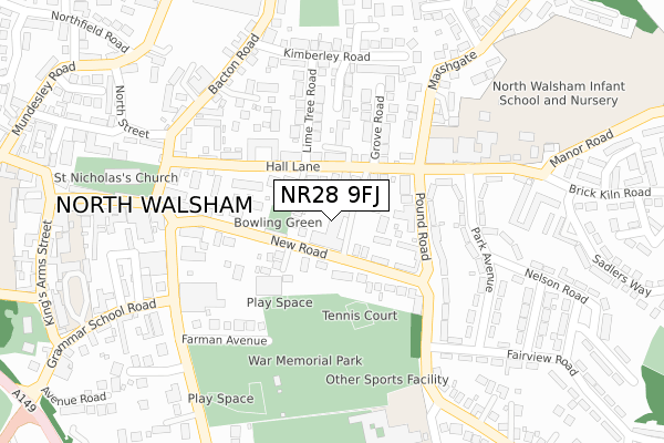
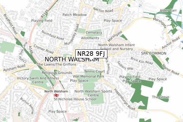
NR28 9FJ maps


Source: OS Open Zoomstack (Ordnance Survey)
Licence: Open Government Licence (requires attribution)
Attribution: Contains OS data © Crown copyright and database right 2025
Source: Open Postcode GeoLicence: Open Government Licence (requires attribution)
Attribution: Contains OS data © Crown copyright and database right 2025; Contains Royal Mail data © Royal Mail copyright and database right 2025; Source: Office for National Statistics licensed under the Open Government Licence v.3.0
NR28 9FJ geodata
| Easting | 628652 |
| Northing | 330194 |
| Latitude | 52.820778 |
| Longitude | 1.392080 |
Where is NR28 9FJ?
| Country | England |
| Postcode District | NR28 |
Politics
| Ward | North Walsham Market Cross |
|---|
| Constituency | North Norfolk |
|---|
Transport
Nearest bus stops to NR28 9FJ
| Library (New Road) | North Walsham | 164m |
| Post Office (Yarmouth Road) | North Walsham | 242m |
| Fairview Road (Happisburgh Road) | North Walsham | 245m |
| High School Bus Park (Spenser Avenue) | North Walsham | 306m |
| Kimberley Road (Bacton Road) | North Walsham | 323m |
Nearest railway stations to NR28 9FJ
| North Walsham Station | 0.7km |
| Worstead Station | 4.9km |
| Gunton Station | 5.8km |
Broadband
Broadband access in NR28 9FJ (2020 data)
| Percentage of properties with Next Generation Access | 100.0% |
| Percentage of properties with Superfast Broadband | 100.0% |
| Percentage of properties with Ultrafast Broadband | 100.0% |
| Percentage of properties with Full Fibre Broadband | 100.0% |
Superfast Broadband is between 30Mbps and 300Mbps
Ultrafast Broadband is > 300Mbps
Broadband limitations in NR28 9FJ (2020 data)
| Percentage of properties unable to receive 2Mbps | 0.0% |
| Percentage of properties unable to receive 5Mbps | 0.0% |
| Percentage of properties unable to receive 10Mbps | 0.0% |
| Percentage of properties unable to receive 30Mbps | 0.0% |
Deprivation
81.5% of English postcodes are less deprived than
NR28 9FJ:
Food Standards Agency
Three nearest food hygiene ratings to NR28 9FJ (metres)
North Walsham Community Centre
Happisburgh Road Stores
Happisburgh Road Stores
173m
Salvation Army
➜ Get more ratings from the Food Standards Agency
Nearest post box to NR28 9FJ
| | Last Collection | |
|---|
| Location | Mon-Fri | Sat | Distance |
|---|
| Royal Mail New Road | 19:00 | 12:00 | 230m |
| Market Place | 17:00 | 11:10 | 306m |
| Market Street | 16:00 | 11:10 | 508m |
NR28 9FJ ITL and NR28 9FJ LAU
The below table lists the International Territorial Level (ITL) codes (formerly Nomenclature of Territorial Units for Statistics (NUTS) codes) and Local Administrative Units (LAU) codes for NR28 9FJ:
| ITL 1 Code | Name |
|---|
| TLH | East |
| ITL 2 Code | Name |
|---|
| TLH1 | East Anglia |
| ITL 3 Code | Name |
|---|
| TLH16 | North and West Norfolk |
| LAU 1 Code | Name |
|---|
| E07000147 | North Norfolk |
NR28 9FJ census areas
The below table lists the Census Output Area (OA), Lower Layer Super Output Area (LSOA), and Middle Layer Super Output Area (MSOA) for NR28 9FJ:
| Code | Name |
|---|
| OA | E00136027 | |
|---|
| LSOA | E01026753 | North Norfolk 010A |
|---|
| MSOA | E02005579 | North Norfolk 010 |
|---|
Nearest postcodes to NR28 9FJ


