NR21 9AJ maps, stats, and open data
- Home
- Postcode
- NR
- NR21
- NR21 9
NR21 9AJ is located in the Lancaster South electoral ward, within the local authority district of North Norfolk and the English Parliamentary constituency of Broadland. The Sub Integrated Care Board (ICB) Location is NHS Norfolk and Waveney ICB - 26A and the police force is Norfolk. This postcode has been in use since September 2017.
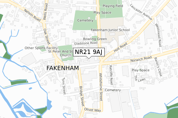
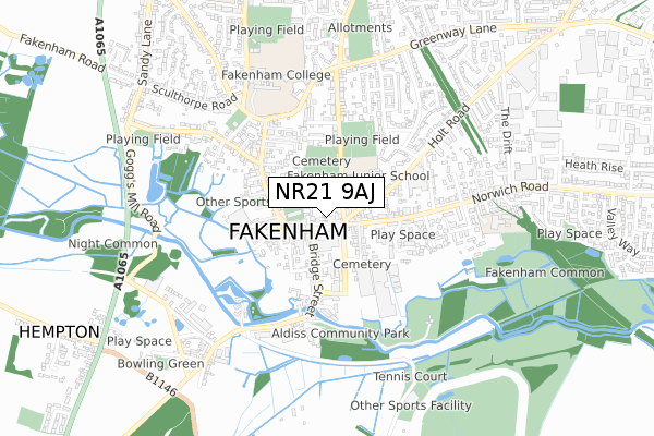
NR21 9AJ maps


Source: OS Open Zoomstack (Ordnance Survey)
Licence: Open Government Licence (requires attribution)
Attribution: Contains OS data © Crown copyright and database right 2025
Source: Open Postcode GeoLicence: Open Government Licence (requires attribution)
Attribution: Contains OS data © Crown copyright and database right 2025; Contains Royal Mail data © Royal Mail copyright and database right 2025; Source: Office for National Statistics licensed under the Open Government Licence v.3.0
NR21 9AJ geodata
| Easting | 592052 |
| Northing | 329690 |
| Latitude | 52.830522 |
| Longitude | 0.849389 |
Where is NR21 9AJ?
| Country | England |
| Postcode District | NR21 |
Politics
| Ward | Lancaster South |
|---|
| Constituency | Broadland |
|---|
Transport
Nearest bus stops to NR21 9AJ
| Budgens (White Horse Street) | Fakenham | 102m |
| Budgens (White Horse Street) | Fakenham | 143m |
| Oak Street | Fakenham | 188m |
| Bowling Centre (Bridge Street) | Fakenham | 259m |
| Fire Station (Norwich Road) | Fakenham | 385m |
Broadband
Broadband access in NR21 9AJ (2020 data)
| Percentage of properties with Next Generation Access | 100.0% |
| Percentage of properties with Superfast Broadband | 100.0% |
| Percentage of properties with Ultrafast Broadband | 0.0% |
| Percentage of properties with Full Fibre Broadband | 0.0% |
Superfast Broadband is between 30Mbps and 300Mbps
Ultrafast Broadband is > 300Mbps
Broadband speed in NR21 9AJ (2019 data)
Download
| Median download speed | 40.0Mbps |
| Average download speed | 43.5Mbps |
| Maximum download speed | 69.70Mbps |
Upload
| Median upload speed | 10.0Mbps |
| Average upload speed | 10.3Mbps |
| Maximum upload speed | 20.00Mbps |
Broadband limitations in NR21 9AJ (2020 data)
| Percentage of properties unable to receive 2Mbps | 0.0% |
| Percentage of properties unable to receive 5Mbps | 0.0% |
| Percentage of properties unable to receive 10Mbps | 0.0% |
| Percentage of properties unable to receive 30Mbps | 0.0% |
Deprivation
65.7% of English postcodes are less deprived than
NR21 9AJ:
Food Standards Agency
Three nearest food hygiene ratings to NR21 9AJ (metres)
Norfolk Kebab & Pizza House
Benbow & Sons
Mini Market
➜ Get more ratings from the Food Standards Agency
Nearest post box to NR21 9AJ
| | Last Collection | |
|---|
| Location | Mon-Fri | Sat | Distance |
|---|
| Queens Road | 17:30 | 10:00 | 71m |
| Royal Mail 1 Holt Road | 17:45 | 12:30 | 72m |
| 9 Millers Walk | 17:15 | 12:00 | 85m |
NR21 9AJ ITL and NR21 9AJ LAU
The below table lists the International Territorial Level (ITL) codes (formerly Nomenclature of Territorial Units for Statistics (NUTS) codes) and Local Administrative Units (LAU) codes for NR21 9AJ:
| ITL 1 Code | Name |
|---|
| TLH | East |
| ITL 2 Code | Name |
|---|
| TLH1 | East Anglia |
| ITL 3 Code | Name |
|---|
| TLH16 | North and West Norfolk |
| LAU 1 Code | Name |
|---|
| E07000147 | North Norfolk |
NR21 9AJ census areas
The below table lists the Census Output Area (OA), Lower Layer Super Output Area (LSOA), and Middle Layer Super Output Area (MSOA) for NR21 9AJ:
| Code | Name |
|---|
| OA | E00135999 | |
|---|
| LSOA | E01026747 | North Norfolk 011C |
|---|
| MSOA | E02005580 | North Norfolk 011 |
|---|
Nearest postcodes to NR21 9AJ


