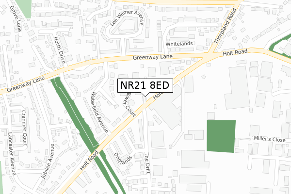
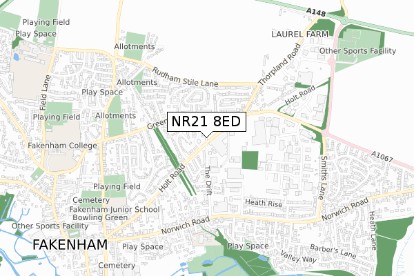
NR21 8ED maps, stats, and open data
NR21 8ED is located in the Lancaster South electoral ward, within the local authority district of North Norfolk and the English Parliamentary constituency of Broadland. The Sub Integrated Care Board (ICB) Location is NHS Norfolk and Waveney ICB - 26A and the police force is Norfolk. This postcode has been in use since February 2019.
NR21 8ED maps


Licence: Open Government Licence (requires attribution)
Attribution: Contains OS data © Crown copyright and database right 2025
Source: Open Postcode Geo
Licence: Open Government Licence (requires attribution)
Attribution: Contains OS data © Crown copyright and database right 2025; Contains Royal Mail data © Royal Mail copyright and database right 2025; Source: Office for National Statistics licensed under the Open Government Licence v.3.0
NR21 8ED geodata
| Easting | 592731 |
| Northing | 330281 |
| Latitude | 52.835586 |
| Longitude | 0.859804 |
Where is NR21 8ED?
| Country | England |
| Postcode District | NR21 |
Politics
| Ward | Lancaster South |
|---|---|
| Constituency | Broadland |
Transport
Nearest bus stops to NR21 8ED
| Whitelands (Greenway Lane) | Fakenham | 141m |
| Whitelands (Greenway Lane) | Fakenham | 182m |
| Henry Iv (Greenway Lane) | Fakenham | 246m |
| Henry Iv (Greenway Lane) | Fakenham | 258m |
| Cranmer Court (Lancaster Avenue) | Fakenham | 476m |
Broadband
Broadband access in NR21 8ED (2020 data)
| Percentage of properties with Next Generation Access | 100.0% |
| Percentage of properties with Superfast Broadband | 100.0% |
| Percentage of properties with Ultrafast Broadband | 0.0% |
| Percentage of properties with Full Fibre Broadband | 0.0% |
Superfast Broadband is between 30Mbps and 300Mbps
Ultrafast Broadband is > 300Mbps
Broadband limitations in NR21 8ED (2020 data)
| Percentage of properties unable to receive 2Mbps | 0.0% |
| Percentage of properties unable to receive 5Mbps | 0.0% |
| Percentage of properties unable to receive 10Mbps | 0.0% |
| Percentage of properties unable to receive 30Mbps | 0.0% |
Deprivation
70.2% of English postcodes are less deprived than NR21 8ED:Food Standards Agency
Three nearest food hygiene ratings to NR21 8ED (metres)


➜ Get more ratings from the Food Standards Agency
Nearest post box to NR21 8ED
| Last Collection | |||
|---|---|---|---|
| Location | Mon-Fri | Sat | Distance |
| Lee Warner Avenue | 16:45 | 11:15 | 169m |
| George Edwards Road | 17:15 | 11:30 | 598m |
| Safeways Clipbush Road | 16:30 | 11:00 | 744m |
NR21 8ED ITL and NR21 8ED LAU
The below table lists the International Territorial Level (ITL) codes (formerly Nomenclature of Territorial Units for Statistics (NUTS) codes) and Local Administrative Units (LAU) codes for NR21 8ED:
| ITL 1 Code | Name |
|---|---|
| TLH | East |
| ITL 2 Code | Name |
| TLH1 | East Anglia |
| ITL 3 Code | Name |
| TLH16 | North and West Norfolk |
| LAU 1 Code | Name |
| E07000147 | North Norfolk |
NR21 8ED census areas
The below table lists the Census Output Area (OA), Lower Layer Super Output Area (LSOA), and Middle Layer Super Output Area (MSOA) for NR21 8ED:
| Code | Name | |
|---|---|---|
| OA | E00136001 | |
| LSOA | E01026749 | North Norfolk 011E |
| MSOA | E02005580 | North Norfolk 011 |
Nearest postcodes to NR21 8ED
| NR21 8EG | Holt Road | 66m |
| NR21 8ET | Greenway Lane | 91m |
| NR21 8DZ | Holt Road | 144m |
| NR21 8EU | Waterfield Avenue | 145m |
| NR21 8EP | Greenway Lane | 161m |
| NR21 8EQ | Holt Road | 164m |
| NR21 8EB | Driftlands | 191m |
| NR21 8EX | Waterfield Avenue | 194m |
| NR21 8EL | Greenway Lane | 203m |
| NR21 8EY | Greenway Lane | 221m |