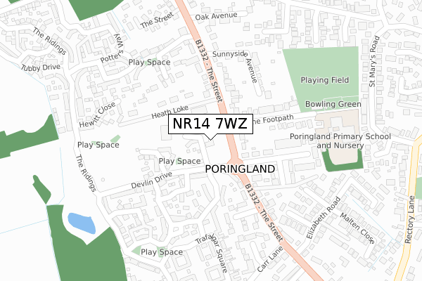
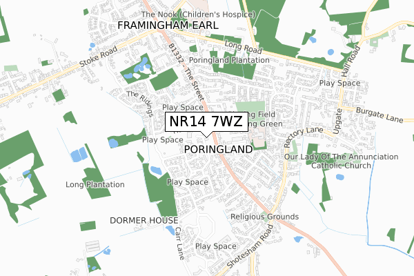
NR14 7WZ is located in the Poringland, Framinghams & Trowse electoral ward, within the local authority district of South Norfolk and the English Parliamentary constituency of South Norfolk. The Sub Integrated Care Board (ICB) Location is NHS Norfolk and Waveney ICB - 26A and the police force is Norfolk. This postcode has been in use since September 2018.


GetTheData
Source: OS Open Zoomstack (Ordnance Survey)
Licence: Open Government Licence (requires attribution)
Attribution: Contains OS data © Crown copyright and database right 2025
Source: Open Postcode Geo
Licence: Open Government Licence (requires attribution)
Attribution: Contains OS data © Crown copyright and database right 2025; Contains Royal Mail data © Royal Mail copyright and database right 2025; Source: Office for National Statistics licensed under the Open Government Licence v.3.0
| Easting | 626735 |
| Northing | 302175 |
| Latitude | 52.570135 |
| Longitude | 1.344395 |
GetTheData
Source: Open Postcode Geo
Licence: Open Government Licence
| Country | England |
| Postcode District | NR14 |
➜ See where NR14 is on a map ➜ Where is Poringland? | |
GetTheData
Source: Land Registry Price Paid Data
Licence: Open Government Licence
| Ward | Poringland, Framinghams & Trowse |
| Constituency | South Norfolk |
GetTheData
Source: ONS Postcode Database
Licence: Open Government Licence
| Springfields (The Street) | Poringland | 146m |
| Springfields (The Street) | Poringland | 161m |
| Oak Avenue (The Street) | Poringland | 277m |
| Oak Avenue (The Street) | Poringland | 302m |
| Saxonfields (The Street) | Poringland | 368m |
GetTheData
Source: NaPTAN
Licence: Open Government Licence
GetTheData
Source: ONS Postcode Database
Licence: Open Government Licence


➜ Get more ratings from the Food Standards Agency
GetTheData
Source: Food Standards Agency
Licence: FSA terms & conditions
| Last Collection | |||
|---|---|---|---|
| Location | Mon-Fri | Sat | Distance |
| Arminghall | 16:30 | 08:20 | 1,729m |
| Howe Church | 16:30 | 08:30 | 2,361m |
| Framingham Beck | 16:15 | 09:30 | 2,418m |
GetTheData
Source: Dracos
Licence: Creative Commons Attribution-ShareAlike
The below table lists the International Territorial Level (ITL) codes (formerly Nomenclature of Territorial Units for Statistics (NUTS) codes) and Local Administrative Units (LAU) codes for NR14 7WZ:
| ITL 1 Code | Name |
|---|---|
| TLH | East |
| ITL 2 Code | Name |
| TLH1 | East Anglia |
| ITL 3 Code | Name |
| TLH17 | Breckland and South Norfolk |
| LAU 1 Code | Name |
| E07000149 | South Norfolk |
GetTheData
Source: ONS Postcode Directory
Licence: Open Government Licence
The below table lists the Census Output Area (OA), Lower Layer Super Output Area (LSOA), and Middle Layer Super Output Area (MSOA) for NR14 7WZ:
| Code | Name | |
|---|---|---|
| OA | E00136966 | |
| LSOA | E01026928 | South Norfolk 006E |
| MSOA | E02005602 | South Norfolk 006 |
GetTheData
Source: ONS Postcode Directory
Licence: Open Government Licence
| NR14 7WB | Overtons Way | 50m |
| NR14 7RE | The Street | 113m |
| NR14 7WA | Devlin Drive | 127m |
| NR14 7JX | The Street | 130m |
| NR14 7WE | Hornbeam Drive | 139m |
| NR14 7WF | Mulberry Close | 145m |
| NR14 7WD | Blackthorn Way | 173m |
| NR14 7RF | The Footpath | 183m |
| NR14 7JU | Heath Loke | 189m |
| NR14 7RQ | The Street | 190m |
GetTheData
Source: Open Postcode Geo; Land Registry Price Paid Data
Licence: Open Government Licence