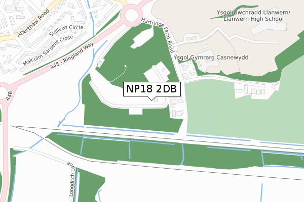
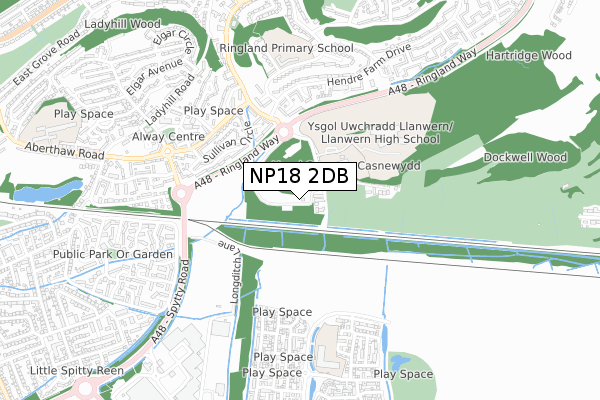
NP18 2DB is located in the Ringland electoral ward, within the unitary authority of Newport and the Welsh Parliamentary constituency of Newport East. The Local Health Board is Aneurin Bevan University and the police force is Gwent. This postcode has been in use since April 2019.


GetTheData
Source: OS Open Zoomstack (Ordnance Survey)
Licence: Open Government Licence (requires attribution)
Attribution: Contains OS data © Crown copyright and database right 2025
Source: Open Postcode Geo
Licence: Open Government Licence (requires attribution)
Attribution: Contains OS data © Crown copyright and database right 2025; Contains Royal Mail data © Royal Mail copyright and database right 2025; Source: Office for National Statistics licensed under the Open Government Licence v.3.0
| Easting | 335179 |
| Northing | 187618 |
| Latitude | 51.583676 |
| Longitude | -2.936946 |
GetTheData
Source: Open Postcode Geo
Licence: Open Government Licence
| Country | Wales |
| Postcode District | NP18 |
➜ See where NP18 is on a map ➜ Where is Newport? | |
GetTheData
Source: Land Registry Price Paid Data
Licence: Open Government Licence
| Ward | Ringland |
| Constituency | Newport East |
GetTheData
Source: ONS Postcode Database
Licence: Open Government Licence
| Llanwern High School (Hartridge Farm Rd) | Newport | 192m |
| Ringland Way (Hendre Farm Drive) | Ringland | 399m |
| Ringland Way (Ringland Circle) | Ringland | 401m |
| Bantock Close (Hendre Farm Drive) | Ringland | 467m |
| Penkin Hill South (Aberthaw Road) | Alway | 471m |
| Newport (S Wales) Station | 4.4km |
GetTheData
Source: NaPTAN
Licence: Open Government Licence
| Percentage of properties with Next Generation Access | 0.0% |
| Percentage of properties with Superfast Broadband | 0.0% |
| Percentage of properties with Ultrafast Broadband | 0.0% |
| Percentage of properties with Full Fibre Broadband | 0.0% |
Superfast Broadband is between 30Mbps and 300Mbps
Ultrafast Broadband is > 300Mbps
| Percentage of properties unable to receive 2Mbps | 0.0% |
| Percentage of properties unable to receive 5Mbps | 0.0% |
| Percentage of properties unable to receive 10Mbps | 100.0% |
| Percentage of properties unable to receive 30Mbps | 100.0% |
GetTheData
Source: Ofcom
Licence: Ofcom Terms of Use (requires attribution)
GetTheData
Source: ONS Postcode Database
Licence: Open Government Licence


➜ Get more ratings from the Food Standards Agency
GetTheData
Source: Food Standards Agency
Licence: FSA terms & conditions
| Last Collection | |||
|---|---|---|---|
| Location | Mon-Fri | Sat | Distance |
| Nelson Drive | 17:30 | 11:45 | 831m |
| Aberthaw Circle | 17:30 | 11:15 | 1,634m |
| Barnardstown | 17:30 | 12:00 | 2,454m |
GetTheData
Source: Dracos
Licence: Creative Commons Attribution-ShareAlike
The below table lists the International Territorial Level (ITL) codes (formerly Nomenclature of Territorial Units for Statistics (NUTS) codes) and Local Administrative Units (LAU) codes for NP18 2DB:
| ITL 1 Code | Name |
|---|---|
| TLL | Wales |
| ITL 2 Code | Name |
| TLL2 | East Wales |
| ITL 3 Code | Name |
| TLL21 | Monmouthshire and Newport |
| LAU 1 Code | Name |
| W06000022 | Newport |
GetTheData
Source: ONS Postcode Directory
Licence: Open Government Licence
The below table lists the Census Output Area (OA), Lower Layer Super Output Area (LSOA), and Middle Layer Super Output Area (MSOA) for NP18 2DB:
| Code | Name | |
|---|---|---|
| OA | W00008633 | |
| LSOA | W01001668 | Newport 010D |
| MSOA | W02000356 | Newport 010 |
GetTheData
Source: ONS Postcode Directory
Licence: Open Government Licence
| NP18 2LN | School Houses | 137m |
| NP18 2NH | Hartridge Farm Road | 291m |
| NP19 9PD | Eric Coates Walk | 332m |
| NP19 9LF | Novello Walk | 375m |
| NP19 9RH | Malcolm Sargent Close | 381m |
| NP19 9PE | John Field Walk | 386m |
| NP19 9RG | Sullivan Circle | 387m |
| NP19 9PB | Sullivan Circle | 407m |
| NP19 9NF | Arne Close | 430m |
| NP19 9RF | Sullivan Circle | 450m |
GetTheData
Source: Open Postcode Geo; Land Registry Price Paid Data
Licence: Open Government Licence