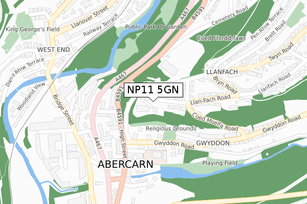
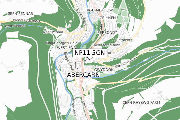
NP11 5GN is located in the Abercarn electoral ward, within the unitary authority of Caerphilly and the Welsh Parliamentary constituency of Islwyn. The Local Health Board is Aneurin Bevan University and the police force is Gwent. This postcode has been in use since January 2018.


GetTheData
Source: OS Open Zoomstack (Ordnance Survey)
Licence: Open Government Licence (requires attribution)
Attribution: Contains OS data © Crown copyright and database right 2025
Source: Open Postcode Geo
Licence: Open Government Licence (requires attribution)
Attribution: Contains OS data © Crown copyright and database right 2025; Contains Royal Mail data © Royal Mail copyright and database right 2025; Source: Office for National Statistics licensed under the Open Government Licence v.3.0
| Easting | 321670 |
| Northing | 195097 |
| Latitude | 51.649191 |
| Longitude | -3.133558 |
GetTheData
Source: Open Postcode Geo
Licence: Open Government Licence
| Country | Wales |
| Postcode District | NP11 |
➜ See where NP11 is on a map ➜ Where is Abercarn? | |
GetTheData
Source: Land Registry Price Paid Data
Licence: Open Government Licence
| Ward | Abercarn |
| Constituency | Islwyn |
GetTheData
Source: ONS Postcode Database
Licence: Open Government Licence
| Coed Moelfa Road | Llanfach | 117m |
| Gwyddon Court (Gwyddon Road) | Abercarn | 134m |
| St Luke's Surgery (High Street) | Abercarn | 145m |
| Quarry (B4591) | Abercarn | 145m |
| St Luke's Surgery (High Street) | Abercarn | 147m |
| Newbridge Station | 2km |
| Crosskeys Station | 3.2km |
| Risca & Pontymister Station | 5.6km |
GetTheData
Source: NaPTAN
Licence: Open Government Licence
GetTheData
Source: ONS Postcode Database
Licence: Open Government Licence


➜ Get more ratings from the Food Standards Agency
GetTheData
Source: Food Standards Agency
Licence: FSA terms & conditions
| Last Collection | |||
|---|---|---|---|
| Location | Mon-Fri | Sat | Distance |
| Newbridge Post Office | 17:00 | 11:45 | 1,876m |
| Pentwynmawr | 16:00 | 11:30 | 2,330m |
| Blackwood Post Office | 18:00 | 12:30 | 4,632m |
GetTheData
Source: Dracos
Licence: Creative Commons Attribution-ShareAlike
The below table lists the International Territorial Level (ITL) codes (formerly Nomenclature of Territorial Units for Statistics (NUTS) codes) and Local Administrative Units (LAU) codes for NP11 5GN:
| ITL 1 Code | Name |
|---|---|
| TLL | Wales |
| ITL 2 Code | Name |
| TLL1 | West Wales and The Valleys |
| ITL 3 Code | Name |
| TLL16 | Gwent Valleys |
| LAU 1 Code | Name |
| W06000018 | Caerphilly |
GetTheData
Source: ONS Postcode Directory
Licence: Open Government Licence
The below table lists the Census Output Area (OA), Lower Layer Super Output Area (LSOA), and Middle Layer Super Output Area (MSOA) for NP11 5GN:
| Code | Name | |
|---|---|---|
| OA | W00006960 | |
| LSOA | W01001327 | Caerphilly 014A |
| MSOA | W02000303 | Caerphilly 014 |
GetTheData
Source: ONS Postcode Directory
Licence: Open Government Licence
| NP11 5LF | Coedmoelfa Road | 130m |
| NP11 5LE | Llanfach Road | 133m |
| NP11 5GQ | High Street | 134m |
| NP11 4TE | Vine Street | 145m |
| NP11 5GX | Gwyddon Road | 154m |
| NP11 4TF | Garn Street | 164m |
| NP11 5LD | Twyn Road | 182m |
| NP11 4TD | Vine Street | 192m |
| NP11 4SH | Mount Pleasant | 205m |
| NP11 4SB | Bridge Street | 227m |
GetTheData
Source: Open Postcode Geo; Land Registry Price Paid Data
Licence: Open Government Licence