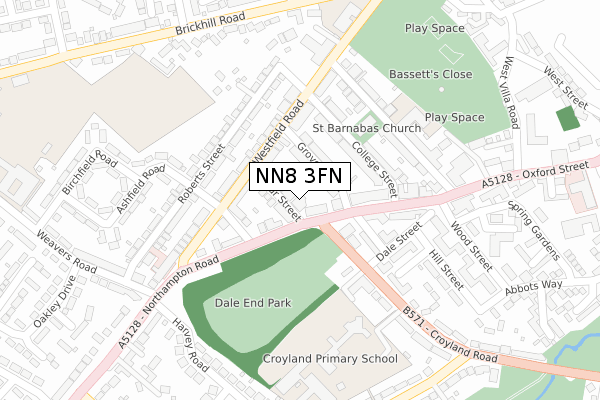
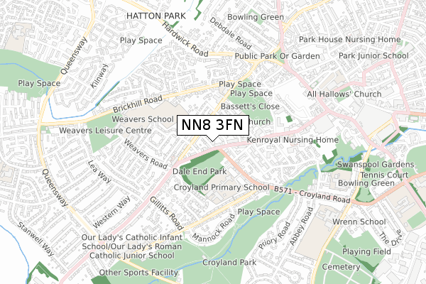
NN8 3FN is located in the Croyland and Swanspool electoral ward, within the unitary authority of North Northamptonshire and the English Parliamentary constituency of Wellingborough. The Sub Integrated Care Board (ICB) Location is NHS Northamptonshire ICB - 78H and the police force is Northamptonshire. This postcode has been in use since June 2018.


GetTheData
Source: OS Open Zoomstack (Ordnance Survey)
Licence: Open Government Licence (requires attribution)
Attribution: Contains OS data © Crown copyright and database right 2025
Source: Open Postcode Geo
Licence: Open Government Licence (requires attribution)
Attribution: Contains OS data © Crown copyright and database right 2025; Contains Royal Mail data © Royal Mail copyright and database right 2025; Source: Office for National Statistics licensed under the Open Government Licence v.3.0
| Easting | 488386 |
| Northing | 267669 |
| Latitude | 52.300057 |
| Longitude | -0.705254 |
GetTheData
Source: Open Postcode Geo
Licence: Open Government Licence
| Country | England |
| Postcode District | NN8 |
➜ See where NN8 is on a map ➜ Where is Wellingborough? | |
GetTheData
Source: Land Registry Price Paid Data
Licence: Open Government Licence
| Ward | Croyland And Swanspool |
| Constituency | Wellingborough |
GetTheData
Source: ONS Postcode Database
Licence: Open Government Licence
| Northampton Road | Wellingborough | 102m |
| Scout Hut (Croyland Road) | Wellingborough | 118m |
| Scout Hut (Croyland Road) | Wellingborough | 123m |
| Northampton Road | Wellingborough | 210m |
| Weavers Road (Northampton Road) | Wellingborough | 260m |
| Wellingborough Station | 2km |
GetTheData
Source: NaPTAN
Licence: Open Government Licence
| Percentage of properties with Next Generation Access | 100.0% |
| Percentage of properties with Superfast Broadband | 100.0% |
| Percentage of properties with Ultrafast Broadband | 0.0% |
| Percentage of properties with Full Fibre Broadband | 0.0% |
Superfast Broadband is between 30Mbps and 300Mbps
Ultrafast Broadband is > 300Mbps
| Percentage of properties unable to receive 2Mbps | 0.0% |
| Percentage of properties unable to receive 5Mbps | 0.0% |
| Percentage of properties unable to receive 10Mbps | 0.0% |
| Percentage of properties unable to receive 30Mbps | 0.0% |
GetTheData
Source: Ofcom
Licence: Ofcom Terms of Use (requires attribution)
GetTheData
Source: ONS Postcode Database
Licence: Open Government Licence


➜ Get more ratings from the Food Standards Agency
GetTheData
Source: Food Standards Agency
Licence: FSA terms & conditions
| Last Collection | |||
|---|---|---|---|
| Location | Mon-Fri | Sat | Distance |
| Croyland Road | 16:00 | 11:00 | 366m |
| High Street Tso | 17:00 | 11:00 | 639m |
| Silver Street | 17:15 | 11:00 | 692m |
GetTheData
Source: Dracos
Licence: Creative Commons Attribution-ShareAlike
The below table lists the International Territorial Level (ITL) codes (formerly Nomenclature of Territorial Units for Statistics (NUTS) codes) and Local Administrative Units (LAU) codes for NN8 3FN:
| ITL 1 Code | Name |
|---|---|
| TLF | East Midlands (England) |
| ITL 2 Code | Name |
| TLF2 | Leicestershire, Rutland and Northamptonshire |
| ITL 3 Code | Name |
| TLF25 | North Northamptonshire |
| LAU 1 Code | Name |
| E07000156 | Wellingborough |
GetTheData
Source: ONS Postcode Directory
Licence: Open Government Licence
The below table lists the Census Output Area (OA), Lower Layer Super Output Area (LSOA), and Middle Layer Super Output Area (MSOA) for NN8 3FN:
| Code | Name | |
|---|---|---|
| OA | E00139155 | |
| LSOA | E01027350 | Wellingborough 006B |
| MSOA | E02005697 | Wellingborough 006 |
GetTheData
Source: ONS Postcode Directory
Licence: Open Government Licence
| NN8 3HQ | Northampton Road | 25m |
| NN8 3HH | Arthur Street | 35m |
| NN8 3HW | Grove Street | 79m |
| NN8 3HN | Westfield Road | 90m |
| NN8 3HS | Pitt Street | 102m |
| NN8 3HR | Westfield Road | 118m |
| NN8 3JX | Westfield Road | 118m |
| NN8 3HF | College Street | 118m |
| NN8 3HT | Northampton Road | 122m |
| NN8 2FL | Brook Street West | 134m |
GetTheData
Source: Open Postcode Geo; Land Registry Price Paid Data
Licence: Open Government Licence