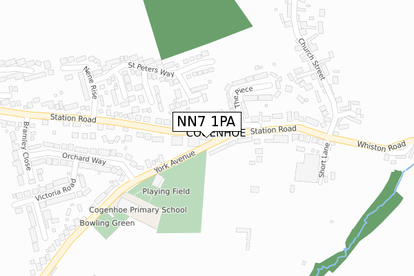
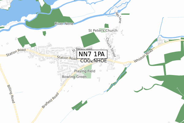
NN7 1PA maps, stats, and open data
NN7 1PA is located in the Hackleton and Grange Park electoral ward, within the unitary authority of West Northamptonshire and the English Parliamentary constituency of South Northamptonshire. The Sub Integrated Care Board (ICB) Location is NHS Northamptonshire ICB - 78H and the police force is Northamptonshire. This postcode has been in use since February 2020.
NN7 1PA maps


Licence: Open Government Licence (requires attribution)
Attribution: Contains OS data © Crown copyright and database right 2025
Source: Open Postcode Geo
Licence: Open Government Licence (requires attribution)
Attribution: Contains OS data © Crown copyright and database right 2025; Contains Royal Mail data © Royal Mail copyright and database right 2025; Source: Office for National Statistics licensed under the Open Government Licence v.3.0
NN7 1PA geodata
| Easting | 482854 |
| Northing | 260623 |
| Latitude | 52.237587 |
| Longitude | -0.788088 |
Where is NN7 1PA?
| Country | England |
| Postcode District | NN7 |
Politics
| Ward | Hackleton And Grange Park |
|---|---|
| Constituency | South Northamptonshire |
Transport
Nearest bus stops to NN7 1PA
| Post Office (Station Road) | Cogenhoe | 89m |
| Post Office (Station Road) | Cogenhoe | 114m |
| Orchard Way (York Avenue) | Cogenhoe | 177m |
| Orchard Way (York Avenue) | Cogenhoe | 204m |
| The Royal Oak Ph (Station Road) | Cogenhoe | 260m |
Deprivation
5% of English postcodes are less deprived than NN7 1PA:Food Standards Agency
Three nearest food hygiene ratings to NN7 1PA (metres)


➜ Get more ratings from the Food Standards Agency
Nearest post box to NN7 1PA
| Last Collection | |||
|---|---|---|---|
| Location | Mon-Fri | Sat | Distance |
| Cogenhoe Tso | 16:30 | 09:45 | 34m |
| Ravens Way | 18:30 | 12:45 | 1,915m |
| Ravens Way | 1,918m | ||
NN7 1PA ITL and NN7 1PA LAU
The below table lists the International Territorial Level (ITL) codes (formerly Nomenclature of Territorial Units for Statistics (NUTS) codes) and Local Administrative Units (LAU) codes for NN7 1PA:
| ITL 1 Code | Name |
|---|---|
| TLF | East Midlands (England) |
| ITL 2 Code | Name |
| TLF2 | Leicestershire, Rutland and Northamptonshire |
| ITL 3 Code | Name |
| TLF24 | West Northamptonshire |
| LAU 1 Code | Name |
| E07000155 | South Northamptonshire |
NN7 1PA census areas
The below table lists the Census Output Area (OA), Lower Layer Super Output Area (LSOA), and Middle Layer Super Output Area (MSOA) for NN7 1PA:
| Code | Name | |
|---|---|---|
| OA | E00138745 | |
| LSOA | E01027275 | South Northamptonshire 002C |
| MSOA | E02005682 | South Northamptonshire 002 |
Nearest postcodes to NN7 1PA
| NN7 1PD | Watts Close | 96m |
| NN7 1NB | York Avenue | 123m |
| NN7 1LX | The Piece | 142m |
| NN7 1LT | Station Road | 154m |
| NN7 1NY | Whalley Grove | 156m |
| NN7 1LU | Station Road | 175m |
| NN7 1NU | St Peters Way | 203m |
| NN7 1NX | Corn Kiln Close | 252m |
| NN7 1LN | Sharmans Close | 257m |
| NN7 1LZ | Orchard Way | 295m |