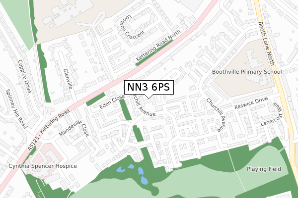
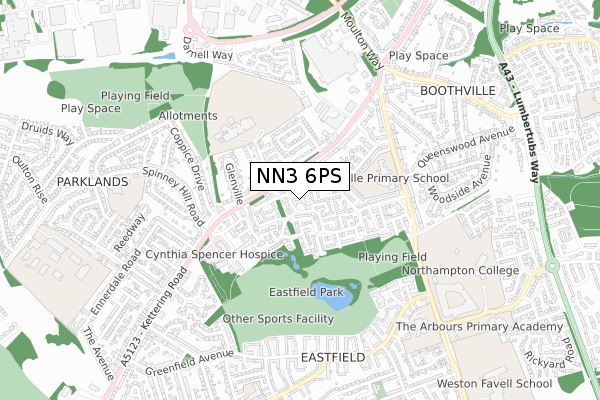
NN3 6PS is located in the Boothville and Parklands electoral ward, within the unitary authority of West Northamptonshire and the English Parliamentary constituency of Northampton North. The Sub Integrated Care Board (ICB) Location is NHS Northamptonshire ICB - 78H and the police force is Northamptonshire. This postcode has been in use since April 2019.


GetTheData
Source: OS Open Zoomstack (Ordnance Survey)
Licence: Open Government Licence (requires attribution)
Attribution: Contains OS data © Crown copyright and database right 2025
Source: Open Postcode Geo
Licence: Open Government Licence (requires attribution)
Attribution: Contains OS data © Crown copyright and database right 2025; Contains Royal Mail data © Royal Mail copyright and database right 2025; Source: Office for National Statistics licensed under the Open Government Licence v.3.0
| Easting | 478008 |
| Northing | 263850 |
| Latitude | 52.267301 |
| Longitude | -0.858294 |
GetTheData
Source: Open Postcode Geo
Licence: Open Government Licence
| Country | England |
| Postcode District | NN3 |
➜ See where NN3 is on a map ➜ Where is Northampton? | |
GetTheData
Source: Land Registry Price Paid Data
Licence: Open Government Licence
| Ward | Boothville And Parklands |
| Constituency | Northampton North |
GetTheData
Source: ONS Postcode Database
Licence: Open Government Licence
| Eden Close (Churchill Avenue) | Boothville | 48m |
| Eden Close (Churchill Avenue) | Boothville | 54m |
| Lorraine Drive (Kettering Road North) | Spinney Hill | 145m |
| Lorraine Drive (Kettering Road North) | Spinney Hill | 185m |
| Kirkstone Walk (Churchill Avenue) | Boothville | 216m |
| Northampton Station | 4.7km |
GetTheData
Source: NaPTAN
Licence: Open Government Licence
| Percentage of properties with Next Generation Access | 100.0% |
| Percentage of properties with Superfast Broadband | 100.0% |
| Percentage of properties with Ultrafast Broadband | 100.0% |
| Percentage of properties with Full Fibre Broadband | 100.0% |
Superfast Broadband is between 30Mbps and 300Mbps
Ultrafast Broadband is > 300Mbps
| Percentage of properties unable to receive 2Mbps | 0.0% |
| Percentage of properties unable to receive 5Mbps | 0.0% |
| Percentage of properties unable to receive 10Mbps | 0.0% |
| Percentage of properties unable to receive 30Mbps | 0.0% |
GetTheData
Source: Ofcom
Licence: Ofcom Terms of Use (requires attribution)
GetTheData
Source: ONS Postcode Database
Licence: Open Government Licence


➜ Get more ratings from the Food Standards Agency
GetTheData
Source: Food Standards Agency
Licence: FSA terms & conditions
| Last Collection | |||
|---|---|---|---|
| Location | Mon-Fri | Sat | Distance |
| Churchill Ave | 17:30 | 12:15 | 33m |
| Highlands Tso | 17:30 | 12:00 | 378m |
| Greenway Boothville | 17:30 | 12:15 | 558m |
GetTheData
Source: Dracos
Licence: Creative Commons Attribution-ShareAlike
The below table lists the International Territorial Level (ITL) codes (formerly Nomenclature of Territorial Units for Statistics (NUTS) codes) and Local Administrative Units (LAU) codes for NN3 6PS:
| ITL 1 Code | Name |
|---|---|
| TLF | East Midlands (England) |
| ITL 2 Code | Name |
| TLF2 | Leicestershire, Rutland and Northamptonshire |
| ITL 3 Code | Name |
| TLF24 | West Northamptonshire |
| LAU 1 Code | Name |
| E07000154 | Northampton |
GetTheData
Source: ONS Postcode Directory
Licence: Open Government Licence
The below table lists the Census Output Area (OA), Lower Layer Super Output Area (LSOA), and Middle Layer Super Output Area (MSOA) for NN3 6PS:
| Code | Name | |
|---|---|---|
| OA | E00138231 | |
| LSOA | E01027171 | Northampton 006A |
| MSOA | E02005655 | Northampton 006 |
GetTheData
Source: ONS Postcode Directory
Licence: Open Government Licence
| NN3 6PP | Appleby Walk | 52m |
| NN3 6PY | Churchill Court | 57m |
| NN3 6PG | Churchill Avenue | 60m |
| NN3 6PR | Shap Green | 119m |
| NN3 6PW | Borrowdale Walk | 120m |
| NN3 6PN | Caldbeck Walk | 124m |
| NN3 6QX | Kettering Road | 138m |
| NN3 7BE | Kettering Road North | 149m |
| NN3 6FE | Macmillan Way | 155m |
| NN3 6PT | Patterdale Walk | 158m |
GetTheData
Source: Open Postcode Geo; Land Registry Price Paid Data
Licence: Open Government Licence