Property/Postcode Data Search:
NN18 9QB maps, stats, and open data
NN18 9QB is located in the Oakley electoral ward, within the unitary authority of North Northamptonshire and the English Parliamentary constituency of Corby. The Sub Integrated Care Board (ICB) Location is NHS Northamptonshire ICB - 78H and the police force is Northamptonshire. This postcode has been in use since December 2017.
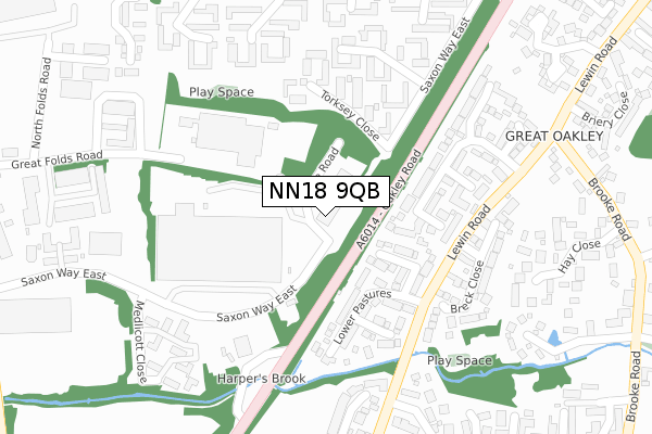
NN18 9QB maps


Source: OS Open Zoomstack (Ordnance Survey)
Licence: Open Government Licence (requires attribution)
Attribution: Contains OS data © Crown copyright and database right 2025
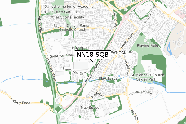
Source: Open Postcode Geo
Licence: Open Government Licence (requires attribution)
Attribution: Contains OS data © Crown copyright and database right 2025; Contains Royal Mail data © Royal Mail copyright and database right 2025; Source: Office for National Statistics licensed under the Open Government Licence v.3.0
Licence: Open Government Licence (requires attribution)
Attribution: Contains OS data © Crown copyright and database right 2025
Source: Open Postcode Geo
Licence: Open Government Licence (requires attribution)
Attribution: Contains OS data © Crown copyright and database right 2025; Contains Royal Mail data © Royal Mail copyright and database right 2025; Source: Office for National Statistics licensed under the Open Government Licence v.3.0
NN18 9QB geodata
| Easting | 486392 |
| Northing | 286014 |
| Latitude | 52.465259 |
| Longitude | -0.729768 |
Where is NN18 9QB?
| Country | England |
| Postcode District | NN18 |
Politics
| Ward | Oakley |
|---|---|
| Constituency | Corby |
Transport
Nearest bus stops to NN18 9QB
| Lower Pastures (Lewin Road) | Great Oakley | 188m |
| Lower Pastures (Lewin Road) | Great Oakley | 207m |
| Little Meadow (Lewin Road) | Great Oakley | 310m |
| Hoppet Close (Lewin Road) | Great Oakley | 350m |
| Hoppet Close (Lewin Road) | Great Oakley | 373m |
Nearest railway stations to NN18 9QB
| Corby Station | 3.9km |
Deprivation
11.2% of English postcodes are less deprived than NN18 9QB:Food Standards Agency
Three nearest food hygiene ratings to NN18 9QB (metres)
Pie Force

Eddie Stobart
198m
Kings Cliffe Bakery

8 Shieling Court
426m
Convenience Express

Patels Convenience Express
599m
➜ Get more ratings from the Food Standards Agency
Nearest post box to NN18 9QB
| Last Collection | |||
|---|---|---|---|
| Location | Mon-Fri | Sat | Distance |
| Great Oakley | 16:00 | 08:00 | 1,047m |
| Saxon Way East | 18:00 | 09:00 | 1,799m |
| Farmstead Road | 17:00 | 11:15 | 2,102m |
NN18 9QB ITL and NN18 9QB LAU
The below table lists the International Territorial Level (ITL) codes (formerly Nomenclature of Territorial Units for Statistics (NUTS) codes) and Local Administrative Units (LAU) codes for NN18 9QB:
| ITL 1 Code | Name |
|---|---|
| TLF | East Midlands (England) |
| ITL 2 Code | Name |
| TLF2 | Leicestershire, Rutland and Northamptonshire |
| ITL 3 Code | Name |
| TLF25 | North Northamptonshire |
| LAU 1 Code | Name |
| E07000150 | Corby |
NN18 9QB census areas
The below table lists the Census Output Area (OA), Lower Layer Super Output Area (LSOA), and Middle Layer Super Output Area (MSOA) for NN18 9QB:
| Code | Name | |
|---|---|---|
| OA | E00137093 | |
| LSOA | E01026955 | Corby 008C |
| MSOA | E02006862 | Corby 008 |
Nearest postcodes to NN18 9QB
| NN18 8JJ | Lower Pastures | 150m |
| NN18 8JU | Leah Close | 190m |
| NN18 8JN | Little Meadow | 199m |
| NN18 9PL | Torksey Close | 202m |
| NN18 8JR | Breck Close | 238m |
| NN18 9PJ | Tettenhall Close | 249m |
| NN18 8JP | Little Meadow | 270m |
| NN18 8JQ | Hoppet Close | 318m |
| NN18 9PD | Bede Close | 333m |
| NN18 9PE | Bede Close | 350m |