Property/Postcode Data Search:
NN18 8JX maps, stats, and open data
NN18 8JX is located in the Corby Rural electoral ward, within the unitary authority of North Northamptonshire and the English Parliamentary constituency of Corby. The Sub Integrated Care Board (ICB) Location is NHS Northamptonshire ICB - 78H and the police force is Northamptonshire. This postcode has been in use since February 2019.
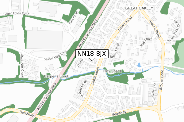
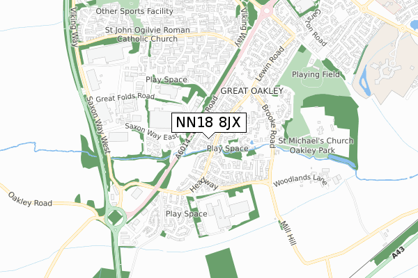
NN18 8JX maps


Source: OS Open Zoomstack (Ordnance Survey)
Licence: Open Government Licence (requires attribution)
Attribution: Contains OS data © Crown copyright and database right 2025
Source: Open Postcode Geo
Licence: Open Government Licence (requires attribution)
Attribution: Contains OS data © Crown copyright and database right 2025; Contains Royal Mail data © Royal Mail copyright and database right 2025; Source: Office for National Statistics licensed under the Open Government Licence v.3.0
Licence: Open Government Licence (requires attribution)
Attribution: Contains OS data © Crown copyright and database right 2025
Source: Open Postcode Geo
Licence: Open Government Licence (requires attribution)
Attribution: Contains OS data © Crown copyright and database right 2025; Contains Royal Mail data © Royal Mail copyright and database right 2025; Source: Office for National Statistics licensed under the Open Government Licence v.3.0
NN18 8JX geodata
| Easting | 490240 |
| Northing | 288057 |
| Latitude | 52.483000 |
| Longitude | -0.672591 |
Where is NN18 8JX?
| Country | England |
| Postcode District | NN18 |
Politics
| Ward | Corby Rural |
|---|---|
| Constituency | Corby |
Transport
Nearest bus stops to NN18 8JX
| Roman Road (Long Croft Road) | Stanion | 589m |
| The Grove (Geddington Road) | Corby Village | 724m |
| The Grove (Geddington Road) | Corby Village | 738m |
| St John The Baptist's Church (Stanion Lane) | Corby Village | 770m |
| St John The Baptist's Church (Weldon Road) | Corby Village | 788m |
Nearest railway stations to NN18 8JX
| Corby Station | 1.3km |
Deprivation
27.3% of English postcodes are less deprived than NN18 8JX:Food Standards Agency
Three nearest food hygiene ratings to NN18 8JX (metres)
Bartlett Mitchell Ltd C/O BSH

Unit 1
466m
Londis

Jet Service Station
558m
Holiday Inn

55 Geddington Road
574m
➜ Get more ratings from the Food Standards Agency
Nearest post box to NN18 8JX
| Last Collection | |||
|---|---|---|---|
| Location | Mon-Fri | Sat | Distance |
| Kelvin Grove | 17:00 | 11:15 | 1,702m |
| Cottingham Road | 17:00 | 11:15 | 1,834m |
| Occupation Road Tso | 17:00 | 11:15 | 2,427m |
NN18 8JX ITL and NN18 8JX LAU
The below table lists the International Territorial Level (ITL) codes (formerly Nomenclature of Territorial Units for Statistics (NUTS) codes) and Local Administrative Units (LAU) codes for NN18 8JX:
| ITL 1 Code | Name |
|---|---|
| TLF | East Midlands (England) |
| ITL 2 Code | Name |
| TLF2 | Leicestershire, Rutland and Northamptonshire |
| ITL 3 Code | Name |
| TLF25 | North Northamptonshire |
| LAU 1 Code | Name |
| E07000150 | Corby |
NN18 8JX census areas
The below table lists the Census Output Area (OA), Lower Layer Super Output Area (LSOA), and Middle Layer Super Output Area (MSOA) for NN18 8JX:
| Code | Name | |
|---|---|---|
| OA | E00169185 | |
| LSOA | E01026977 | Corby 003C |
| MSOA | E02005614 | Corby 003 |
Nearest postcodes to NN18 8JX
| NN18 8FY | Arden Close | 673m |
| NN18 8ER | Bessemer Grove | 689m |
| NN18 8GF | Kesteven Way | 711m |
| NN18 8ES | Stanion Lane | 716m |
| NN18 8GG | Kesteven Way | 722m |
| NN18 8EW | The Grove | 734m |
| NN18 8GU | Epping Road | 734m |
| NN18 8GX | Wychewood Close | 739m |
| NN18 8EP | Tollgate Place | 748m |
| NN18 8DD | Clarendon Close | 782m |