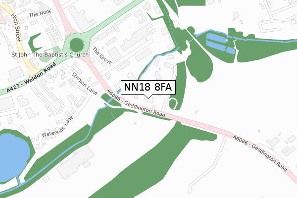
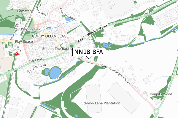
NN18 8FA is located in the Corby Rural electoral ward, within the unitary authority of North Northamptonshire and the English Parliamentary constituency of Corby. The Sub Integrated Care Board (ICB) Location is NHS Northamptonshire ICB - 78H and the police force is Northamptonshire. This postcode has been in use since April 2018.


GetTheData
Source: OS Open Zoomstack (Ordnance Survey)
Licence: Open Government Licence (requires attribution)
Attribution: Contains OS data © Crown copyright and database right 2025
Source: Open Postcode Geo
Licence: Open Government Licence (requires attribution)
Attribution: Contains OS data © Crown copyright and database right 2025; Contains Royal Mail data © Royal Mail copyright and database right 2025; Source: Office for National Statistics licensed under the Open Government Licence v.3.0
| Easting | 490205 |
| Northing | 288745 |
| Latitude | 52.489189 |
| Longitude | -0.672920 |
GetTheData
Source: Open Postcode Geo
Licence: Open Government Licence
| Country | England |
| Postcode District | NN18 |
➜ See where NN18 is on a map ➜ Where is Corby? | |
GetTheData
Source: Land Registry Price Paid Data
Licence: Open Government Licence
| Ward | Corby Rural |
| Constituency | Corby |
GetTheData
Source: ONS Postcode Database
Licence: Open Government Licence
| British Oxygen (Weldon Road) | Weldon Industry | 197m |
| The Grove (Geddington Road) | Corby Village | 221m |
| British Oxygen (Weldon Road) | Weldon Industry | 230m |
| The Grove (Geddington Road) | Corby Village | 244m |
| St John The Baptist's Church (Stanion Lane) | Corby Village | 324m |
| Corby Station | 1km |
GetTheData
Source: NaPTAN
Licence: Open Government Licence
GetTheData
Source: ONS Postcode Database
Licence: Open Government Licence


➜ Get more ratings from the Food Standards Agency
GetTheData
Source: Food Standards Agency
Licence: FSA terms & conditions
| Last Collection | |||
|---|---|---|---|
| Location | Mon-Fri | Sat | Distance |
| Kelvin Grove | 17:00 | 11:15 | 1,184m |
| Cottingham Road | 17:00 | 11:15 | 1,608m |
| Occupation Road Tso | 17:00 | 11:15 | 1,945m |
GetTheData
Source: Dracos
Licence: Creative Commons Attribution-ShareAlike
The below table lists the International Territorial Level (ITL) codes (formerly Nomenclature of Territorial Units for Statistics (NUTS) codes) and Local Administrative Units (LAU) codes for NN18 8FA:
| ITL 1 Code | Name |
|---|---|
| TLF | East Midlands (England) |
| ITL 2 Code | Name |
| TLF2 | Leicestershire, Rutland and Northamptonshire |
| ITL 3 Code | Name |
| TLF25 | North Northamptonshire |
| LAU 1 Code | Name |
| E07000150 | Corby |
GetTheData
Source: ONS Postcode Directory
Licence: Open Government Licence
The below table lists the Census Output Area (OA), Lower Layer Super Output Area (LSOA), and Middle Layer Super Output Area (MSOA) for NN18 8FA:
| Code | Name | |
|---|---|---|
| OA | E00137210 | |
| LSOA | E01026977 | Corby 003C |
| MSOA | E02005614 | Corby 003 |
GetTheData
Source: ONS Postcode Directory
Licence: Open Government Licence
| NN18 8EW | The Grove | 148m |
| NN17 5UE | Weldon Road | 183m |
| NN18 8ES | Stanion Lane | 269m |
| NN18 8EP | Tollgate Place | 346m |
| NN18 8ER | Bessemer Grove | 407m |
| NN17 1XF | Church Walk | 411m |
| NN17 1XE | Pages Walk | 411m |
| NN17 1XA | The Nook | 433m |
| NN17 1UF | St Johns Place | 554m |
| NN17 1XD | South Road | 585m |
GetTheData
Source: Open Postcode Geo; Land Registry Price Paid Data
Licence: Open Government Licence