NN15 7PD maps, stats, and open data
NN15 7PD is located in the Northall electoral ward, within the unitary authority of North Northamptonshire and the English Parliamentary constituency of Kettering. The Sub Integrated Care Board (ICB) Location is NHS Northamptonshire ICB - 78H and the police force is Northamptonshire. This postcode has been in use since April 2019.
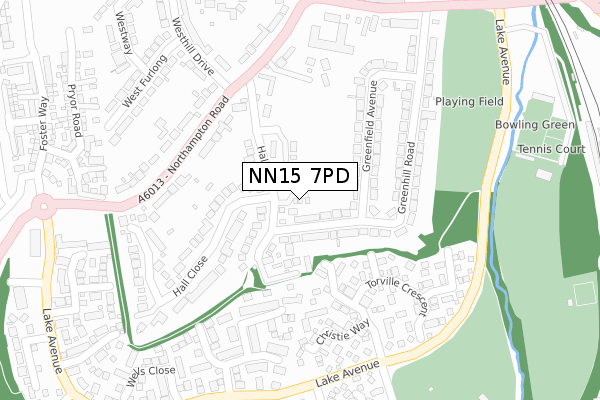
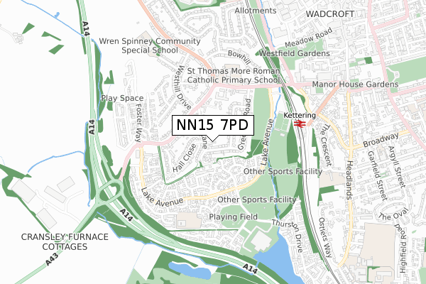
NN15 7PD maps


Licence: Open Government Licence (requires attribution)
Attribution: Contains OS data © Crown copyright and database right 2025
Source: Open Postcode Geo
Licence: Open Government Licence (requires attribution)
Attribution: Contains OS data © Crown copyright and database right 2025; Contains Royal Mail data © Royal Mail copyright and database right 2025; Source: Office for National Statistics licensed under the Open Government Licence v.3.0
NN15 7PD geodata
| Easting | 485865 |
| Northing | 277944 |
| Latitude | 52.392809 |
| Longitude | -0.739593 |
Where is NN15 7PD?
| Country | England |
| Postcode District | NN15 |
Politics
| Ward | Northall |
|---|---|
| Constituency | Kettering |
House Prices
Sales of detached houses in NN15 7PD
2, URSULINE DRIVE, KETTERING, NN15 7PD 2019 31 OCT £267,500 |
1, URSULINE DRIVE, KETTERING, NN15 7PD 2019 26 APR £350,000 |
4, URSULINE DRIVE, KETTERING, NN15 7PD 2019 23 APR £274,950 |
Licence: Contains HM Land Registry data © Crown copyright and database right 2025. This data is licensed under the Open Government Licence v3.0.
Transport
Nearest bus stops to NN15 7PD
| Hall Lane (Northampton Road) | Kettering | 225m |
| Hall Lane (Northampton Road) | Kettering | 233m |
| Boardman Road (Lake Avenue) | Kettering | 300m |
| Boardman Road (Lake Avenue) | Kettering | 306m |
| Lake Avenue (Northampton Road) | Kettering | 344m |
Nearest railway stations to NN15 7PD
| Kettering Station | 0.6km |
Broadband
Broadband access in NN15 7PD (2020 data)
| Percentage of properties with Next Generation Access | 100.0% |
| Percentage of properties with Superfast Broadband | 100.0% |
| Percentage of properties with Ultrafast Broadband | 0.0% |
| Percentage of properties with Full Fibre Broadband | 0.0% |
Superfast Broadband is between 30Mbps and 300Mbps
Ultrafast Broadband is > 300Mbps
Broadband limitations in NN15 7PD (2020 data)
| Percentage of properties unable to receive 2Mbps | 0.0% |
| Percentage of properties unable to receive 5Mbps | 0.0% |
| Percentage of properties unable to receive 10Mbps | 0.0% |
| Percentage of properties unable to receive 30Mbps | 0.0% |
Deprivation
14% of English postcodes are less deprived than NN15 7PD:Food Standards Agency
Three nearest food hygiene ratings to NN15 7PD (metres)


➜ Get more ratings from the Food Standards Agency
Nearest post box to NN15 7PD
| Last Collection | |||
|---|---|---|---|
| Location | Mon-Fri | Sat | Distance |
| Lake Avenue | 16:00 | 11:00 | 428m |
| Headlands | 17:15 | 11:30 | 678m |
| Carter Ave | 16:30 | 08:30 | 1,020m |
NN15 7PD ITL and NN15 7PD LAU
The below table lists the International Territorial Level (ITL) codes (formerly Nomenclature of Territorial Units for Statistics (NUTS) codes) and Local Administrative Units (LAU) codes for NN15 7PD:
| ITL 1 Code | Name |
|---|---|
| TLF | East Midlands (England) |
| ITL 2 Code | Name |
| TLF2 | Leicestershire, Rutland and Northamptonshire |
| ITL 3 Code | Name |
| TLF25 | North Northamptonshire |
| LAU 1 Code | Name |
| E07000153 | Kettering |
NN15 7PD census areas
The below table lists the Census Output Area (OA), Lower Layer Super Output Area (LSOA), and Middle Layer Super Output Area (MSOA) for NN15 7PD:
| Code | Name | |
|---|---|---|
| OA | E00137940 | |
| LSOA | E01027115 | Kettering 007D |
| MSOA | E02005645 | Kettering 007 |
Nearest postcodes to NN15 7PD
| NN15 7LJ | Hall Lane | 71m |
| NN15 7LN | Greenhill Road | 89m |
| NN15 7LH | Hall Lane | 108m |
| NN15 7EQ | Ovett Close | 155m |
| NN15 7LL | Greenfield Avenue | 169m |
| NN15 7RD | Wilkie Close | 177m |
| NN15 7LP | Greenhill Road | 182m |
| NN15 7EJ | Thompson Way | 194m |
| NN15 7LQ | Hall Close | 219m |
| NN15 7JY | Northampton Road | 240m |