NN13 6QX maps, stats, and open data
NN13 6QX is located in the Brackley electoral ward, within the unitary authority of West Northamptonshire and the English Parliamentary constituency of South Northamptonshire. The Sub Integrated Care Board (ICB) Location is NHS Northamptonshire ICB - 78H and the police force is Northamptonshire. This postcode has been in use since October 2017.
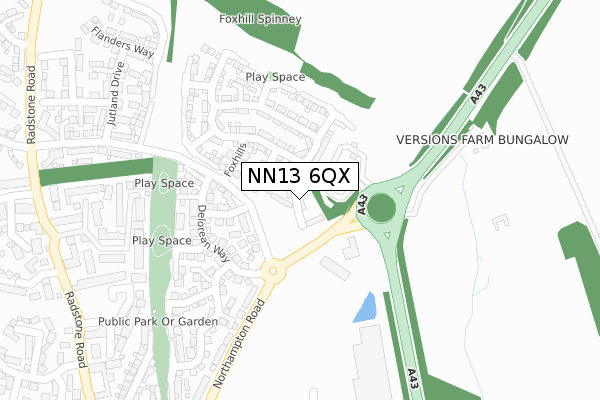
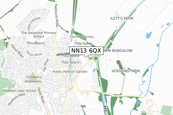
NN13 6QX maps


Licence: Open Government Licence (requires attribution)
Attribution: Contains OS data © Crown copyright and database right 2025
Source: Open Postcode Geo
Licence: Open Government Licence (requires attribution)
Attribution: Contains OS data © Crown copyright and database right 2025; Contains Royal Mail data © Royal Mail copyright and database right 2025; Source: Office for National Statistics licensed under the Open Government Licence v.3.0
NN13 6QX geodata
| Easting | 459205 |
| Northing | 238520 |
| Latitude | 52.041937 |
| Longitude | -1.138195 |
Where is NN13 6QX?
| Country | England |
| Postcode District | NN13 |
Politics
| Ward | Brackley |
|---|---|
| Constituency | South Northamptonshire |
Transport
Nearest bus stops to NN13 6QX
| Jutland Drive (Poppyfields Way) | Brackley | 245m |
| Jutland Drive (Poppyfields Way) | Brackley | 258m |
| Hawthorn Drive (Radstone Road) | Brackley | 464m |
| Top Station Road (Burwell Hill) | Brackley | 561m |
| Ellesmere Avenue (Ellesmere Rd) | Brackley | 595m |
Broadband
Broadband access in NN13 6QX (2020 data)
| Percentage of properties with Next Generation Access | 100.0% |
| Percentage of properties with Superfast Broadband | 100.0% |
| Percentage of properties with Ultrafast Broadband | 100.0% |
| Percentage of properties with Full Fibre Broadband | 100.0% |
Superfast Broadband is between 30Mbps and 300Mbps
Ultrafast Broadband is > 300Mbps
Broadband limitations in NN13 6QX (2020 data)
| Percentage of properties unable to receive 2Mbps | 0.0% |
| Percentage of properties unable to receive 5Mbps | 0.0% |
| Percentage of properties unable to receive 10Mbps | 0.0% |
| Percentage of properties unable to receive 30Mbps | 0.0% |
Deprivation
0.5% of English postcodes are less deprived than NN13 6QX:Food Standards Agency
Three nearest food hygiene ratings to NN13 6QX (metres)


➜ Get more ratings from the Food Standards Agency
Nearest post box to NN13 6QX
| Last Collection | |||
|---|---|---|---|
| Location | Mon-Fri | Sat | Distance |
| Ellesmere Road | 16:30 | 08:00 | 691m |
| Halse Road | 16:30 | 08:00 | 1,023m |
| Pravillion Way No 1 Box | 16:45 | 08:00 | 1,184m |
NN13 6QX ITL and NN13 6QX LAU
The below table lists the International Territorial Level (ITL) codes (formerly Nomenclature of Territorial Units for Statistics (NUTS) codes) and Local Administrative Units (LAU) codes for NN13 6QX:
| ITL 1 Code | Name |
|---|---|
| TLF | East Midlands (England) |
| ITL 2 Code | Name |
| TLF2 | Leicestershire, Rutland and Northamptonshire |
| ITL 3 Code | Name |
| TLF24 | West Northamptonshire |
| LAU 1 Code | Name |
| E07000155 | South Northamptonshire |
NN13 6QX census areas
The below table lists the Census Output Area (OA), Lower Layer Super Output Area (LSOA), and Middle Layer Super Output Area (MSOA) for NN13 6QX:
| Code | Name | |
|---|---|---|
| OA | E00138695 | |
| LSOA | E01027266 | South Northamptonshire 009B |
| MSOA | E02005689 | South Northamptonshire 009 |
Nearest postcodes to NN13 6QX
| NN13 6BF | Delorean Way | 161m |
| NN13 5GG | John Clare Close | 308m |
| NN13 5GF | Wordsworth Close | 356m |
| NN13 5GD | Radstone Road | 389m |
| NN13 5GE | Radstone Road | 409m |
| NN13 5GB | Radstone Road | 437m |
| NN13 6EY | Walnut Close | 489m |
| NN13 6PJ | Edgewood | 490m |
| NN13 7DD | Turweston Road | 506m |
| NN13 6PB | Rowan Close | 508m |