Property/Postcode Data Search:
NN11 2PU maps, stats, and open data
NN11 2PU is located in the Daventry East electoral ward, within the unitary authority of West Northamptonshire and the English Parliamentary constituency of Daventry. The Sub Integrated Care Board (ICB) Location is NHS Northamptonshire ICB - 78H and the police force is Northamptonshire. This postcode has been in use since December 2019.
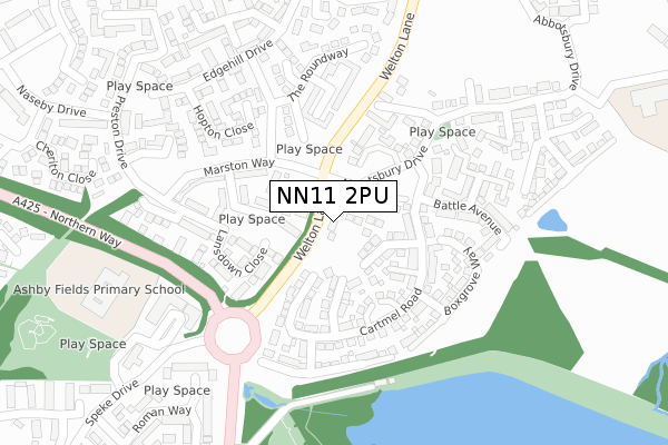
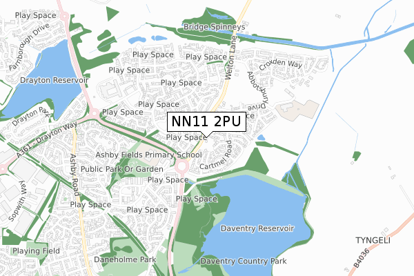
NN11 2PU maps


Source: OS Open Zoomstack (Ordnance Survey)
Licence: Open Government Licence (requires attribution)
Attribution: Contains OS data © Crown copyright and database right 2025
Source: Open Postcode Geo
Licence: Open Government Licence (requires attribution)
Attribution: Contains OS data © Crown copyright and database right 2025; Contains Royal Mail data © Royal Mail copyright and database right 2025; Source: Office for National Statistics licensed under the Open Government Licence v.3.0
Licence: Open Government Licence (requires attribution)
Attribution: Contains OS data © Crown copyright and database right 2025
Source: Open Postcode Geo
Licence: Open Government Licence (requires attribution)
Attribution: Contains OS data © Crown copyright and database right 2025; Contains Royal Mail data © Royal Mail copyright and database right 2025; Source: Office for National Statistics licensed under the Open Government Licence v.3.0
NN11 2PU geodata
| Easting | 457703 |
| Northing | 264423 |
| Latitude | 52.274954 |
| Longitude | -1.155699 |
Where is NN11 2PU?
| Country | England |
| Postcode District | NN11 |
Politics
| Ward | Daventry East |
|---|---|
| Constituency | Daventry |
House Prices
Sales of detached houses in NN11 2PU
1, MEREVALE CLOSE, DAVENTRY, NN11 2PU 2019 20 DEC £379,950 |
Source: HM Land Registry Price Paid Data
Licence: Contains HM Land Registry data © Crown copyright and database right 2025. This data is licensed under the Open Government Licence v3.0.
Licence: Contains HM Land Registry data © Crown copyright and database right 2025. This data is licensed under the Open Government Licence v3.0.
Transport
Nearest bus stops to NN11 2PU
| Marston Way (Welton Lane) | Daventry | 28m |
| Nantwich Drive (Marston Way) | Daventry | 129m |
| Country Park (Northern Way) | Daventry | 290m |
| Wimbourne Place (Speke Drive) | Daventry | 355m |
| The Haystack (Edgehill Drive) | Daventry | 455m |
Nearest railway stations to NN11 2PU
| Long Buckby Station | 5.2km |
Deprivation
69.7% of English postcodes are less deprived than NN11 2PU:Food Standards Agency
Three nearest food hygiene ratings to NN11 2PU (metres)
Tesco Stores Ltd

6 Wimborne Place
254m
Boots Pharmacy
Boots Uk Ltd
276m
Busy Bees Childcare

Busy Bees Day Nursery
278m
➜ Get more ratings from the Food Standards Agency
Nearest post box to NN11 2PU
| Last Collection | |||
|---|---|---|---|
| Location | Mon-Fri | Sat | Distance |
| Churchill Road | 16:00 | 09:30 | 1,361m |
| Kiln Lane | 16:00 | 09:00 | 1,462m |
| Welton (Ashby Road) | 16:00 | 09:25 | 1,924m |
NN11 2PU ITL and NN11 2PU LAU
The below table lists the International Territorial Level (ITL) codes (formerly Nomenclature of Territorial Units for Statistics (NUTS) codes) and Local Administrative Units (LAU) codes for NN11 2PU:
| ITL 1 Code | Name |
|---|---|
| TLF | East Midlands (England) |
| ITL 2 Code | Name |
| TLF2 | Leicestershire, Rutland and Northamptonshire |
| ITL 3 Code | Name |
| TLF24 | West Northamptonshire |
| LAU 1 Code | Name |
| E07000151 | Daventry |
NN11 2PU census areas
The below table lists the Census Output Area (OA), Lower Layer Super Output Area (LSOA), and Middle Layer Super Output Area (MSOA) for NN11 2PU:
| Code | Name | |
|---|---|---|
| OA | E00137387 | |
| LSOA | E01027012 | Daventry 006D |
| MSOA | E02005624 | Daventry 006 |
Nearest postcodes to NN11 2PU
| NN11 2NY | Cartmel Road | 39m |
| NN11 2PA | Cleeve Close | 97m |
| NN11 0GN | Stafford Close | 110m |
| NN11 0GP | Lansdown Close | 142m |
| NN11 2LA | St Olave Close | 160m |
| NN11 0GQ | Marston Way | 186m |
| NN11 2NZ | Castle Acre | 193m |
| NN11 2LD | Fountains Close | 200m |
| NN11 2NX | Battle Avenue | 205m |
| NN11 0GT | Sourton Place | 209m |