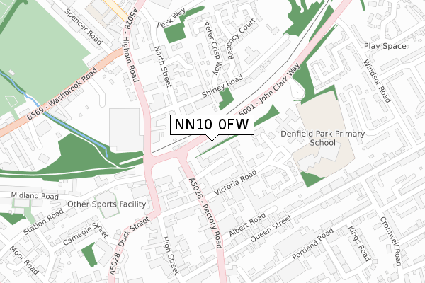
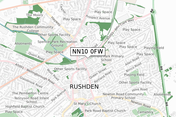
NN10 0FW is located in the Rushden South electoral ward, within the unitary authority of North Northamptonshire and the English Parliamentary constituency of Wellingborough. The Sub Integrated Care Board (ICB) Location is NHS Northamptonshire ICB - 78H and the police force is Northamptonshire. This postcode has been in use since October 2017.


GetTheData
Source: OS Open Zoomstack (Ordnance Survey)
Licence: Open Government Licence (requires attribution)
Attribution: Contains OS data © Crown copyright and database right 2025
Source: Open Postcode Geo
Licence: Open Government Licence (requires attribution)
Attribution: Contains OS data © Crown copyright and database right 2025; Contains Royal Mail data © Royal Mail copyright and database right 2025; Source: Office for National Statistics licensed under the Open Government Licence v.3.0
| Easting | 496591 |
| Northing | 267831 |
| Latitude | 52.300134 |
| Longitude | -0.584923 |
GetTheData
Source: Open Postcode Geo
Licence: Open Government Licence
| Country | England |
| Postcode District | NN10 |
➜ See where NN10 is on a map ➜ Where is Rushden? | |
GetTheData
Source: Land Registry Price Paid Data
Licence: Open Government Licence
| Ward | Rushden South |
| Constituency | Wellingborough |
GetTheData
Source: ONS Postcode Database
Licence: Open Government Licence
| Gloucester Crescent | Rushden | 410m |
| Gloucester Crescent | Rushden | 421m |
| Balmoral Avenue | Rushden | 438m |
| Balmoral Avenue | Rushden | 444m |
| The Hedges | Rushden | 478m |
GetTheData
Source: NaPTAN
Licence: Open Government Licence
GetTheData
Source: ONS Postcode Database
Licence: Open Government Licence


➜ Get more ratings from the Food Standards Agency
GetTheData
Source: Food Standards Agency
Licence: FSA terms & conditions
| Last Collection | |||
|---|---|---|---|
| Location | Mon-Fri | Sat | Distance |
| South End | 17:15 | 11:15 | 788m |
| Wharf Road Tso | 17:15 | 11:15 | 901m |
| Larkhill | 17:00 | 11:00 | 1,199m |
GetTheData
Source: Dracos
Licence: Creative Commons Attribution-ShareAlike
The below table lists the International Territorial Level (ITL) codes (formerly Nomenclature of Territorial Units for Statistics (NUTS) codes) and Local Administrative Units (LAU) codes for NN10 0FW:
| ITL 1 Code | Name |
|---|---|
| TLF | East Midlands (England) |
| ITL 2 Code | Name |
| TLF2 | Leicestershire, Rutland and Northamptonshire |
| ITL 3 Code | Name |
| TLF25 | North Northamptonshire |
| LAU 1 Code | Name |
| E07000152 | East Northamptonshire |
GetTheData
Source: ONS Postcode Directory
Licence: Open Government Licence
The below table lists the Census Output Area (OA), Lower Layer Super Output Area (LSOA), and Middle Layer Super Output Area (MSOA) for NN10 0FW:
| Code | Name | |
|---|---|---|
| OA | E00137633 | |
| LSOA | E01027061 | East Northamptonshire 008A |
| MSOA | E02005636 | East Northamptonshire 008 |
GetTheData
Source: ONS Postcode Directory
Licence: Open Government Licence
| NN10 0GY | Tyne Way | 118m |
| NN10 0GW | Dee Close | 146m |
| NN10 0GX | Tay Drive | 153m |
| NN10 0GZ | Tees Avenue | 183m |
| NN10 0GT | Tyne Way | 200m |
| NN10 0BL | Osborne Close | 240m |
| NN10 0GR | Avon Rise | 261m |
| NN10 0GS | Tweed Crescent | 278m |
| NN10 0BJ | Balmoral Avenue | 314m |
| NN10 0UT | Steeple Way | 318m |
GetTheData
Source: Open Postcode Geo; Land Registry Price Paid Data
Licence: Open Government Licence