Property/Postcode Data Search:
NG5 0JW maps, stats, and open data
NG5 0JW is located in the Daybrook electoral ward, within the local authority district of Gedling and the English Parliamentary constituency of Gedling. The Sub Integrated Care Board (ICB) Location is NHS Nottingham and Nottinghamshire ICB - 52R and the police force is Nottinghamshire. This postcode has been in use since April 2021.
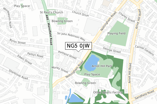
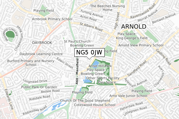
NG5 0JW maps


Source: OS Open Zoomstack (Ordnance Survey)
Licence: Open Government Licence (requires attribution)
Attribution: Contains OS data © Crown copyright and database right 2025
Source: Open Postcode Geo
Licence: Open Government Licence (requires attribution)
Attribution: Contains OS data © Crown copyright and database right 2025; Contains Royal Mail data © Royal Mail copyright and database right 2025; Source: Office for National Statistics licensed under the Open Government Licence v.3.0
Licence: Open Government Licence (requires attribution)
Attribution: Contains OS data © Crown copyright and database right 2025
Source: Open Postcode Geo
Licence: Open Government Licence (requires attribution)
Attribution: Contains OS data © Crown copyright and database right 2025; Contains Royal Mail data © Royal Mail copyright and database right 2025; Source: Office for National Statistics licensed under the Open Government Licence v.3.0
NG5 0JW geodata
| Easting | 458134 |
| Northing | 344899 |
| Latitude | 52.998288 |
| Longitude | -1.135252 |
Where is NG5 0JW?
| Country | England |
| Postcode District | NG5 |
Politics
| Ward | Daybrook |
|---|---|
| Constituency | Gedling |
Transport
Nearest bus stops to NG5 0JW
| Portland Street (Nottingham Road) | Arnold | 48m |
| Portland Street (Nottingham Road) | Arnold | 95m |
| Sir John Robinson Way | Arnold | 99m |
| Sir John Robinson Way | Arnold | 100m |
| Byron Street (Mansfield Road) | Daybrook | 167m |
Nearest railway stations to NG5 0JW
| Bulwell Station | 4.1km |
| Carlton Station | 5.3km |
| Netherfield Station | 5.5km |
Deprivation
70.6% of English postcodes are less deprived than NG5 0JW:Food Standards Agency
Three nearest food hygiene ratings to NG5 0JW (metres)
Busy Bees Childcare Ltd

Busy Bees Day Nursery
55m
McDonalds Restaurant

McDonalds Restaurants Ltd
55m
Cucina Pizza

35C Nottingham Road
116m
➜ Get more ratings from the Food Standards Agency
Nearest post box to NG5 0JW
| Last Collection | |||
|---|---|---|---|
| Location | Mon-Fri | Sat | Distance |
| Church Drive | 17:00 | 10:30 | 261m |
| Nottingham Road | 17:15 | 10:30 | 402m |
| Arnot Hill Road | 17:00 | 11:30 | 450m |
NG5 0JW ITL and NG5 0JW LAU
The below table lists the International Territorial Level (ITL) codes (formerly Nomenclature of Territorial Units for Statistics (NUTS) codes) and Local Administrative Units (LAU) codes for NG5 0JW:
| ITL 1 Code | Name |
|---|---|
| TLF | East Midlands (England) |
| ITL 2 Code | Name |
| TLF1 | Derbyshire and Nottinghamshire |
| ITL 3 Code | Name |
| TLF16 | South Nottinghamshire |
| LAU 1 Code | Name |
| E07000173 | Gedling |
NG5 0JW census areas
The below table lists the Census Output Area (OA), Lower Layer Super Output Area (LSOA), and Middle Layer Super Output Area (MSOA) for NG5 0JW:
| Code | Name | |
|---|---|---|
| OA | E00143521 | |
| LSOA | E01028167 | Gedling 006D |
| MSOA | E02005870 | Gedling 006 |
Nearest postcodes to NG5 0JW
| NG5 6JW | Nottingham Road | 116m |
| NG5 6BL | Portland Street | 125m |
| NG5 6JQ | Nottingham Road | 170m |
| NG5 6JL | Morley Street | 179m |
| NG5 6BH | Mansfield Road | 197m |
| NG5 6BE | Mansfield Road | 214m |
| NG5 6LP | George Street | 217m |
| NG5 6JZ | Nottingham Road | 218m |
| NG5 6JR | Jubilee Road | 221m |
| NG5 6BB | Mansfield Road | 250m |