Property/Postcode Data Search:
NG19 8FE maps, stats, and open data
NG19 8FE is located in the Yeoman Hill electoral ward, within the local authority district of Mansfield and the English Parliamentary constituency of Mansfield. The Sub Integrated Care Board (ICB) Location is NHS Nottingham and Nottinghamshire ICB - 52R and the police force is Nottinghamshire. This postcode has been in use since January 2018.
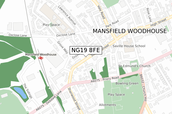
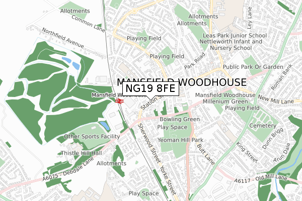
NG19 8FE maps


Source: OS Open Zoomstack (Ordnance Survey)
Licence: Open Government Licence (requires attribution)
Attribution: Contains OS data © Crown copyright and database right 2025
Source: Open Postcode Geo
Licence: Open Government Licence (requires attribution)
Attribution: Contains OS data © Crown copyright and database right 2025; Contains Royal Mail data © Royal Mail copyright and database right 2025; Source: Office for National Statistics licensed under the Open Government Licence v.3.0
Licence: Open Government Licence (requires attribution)
Attribution: Contains OS data © Crown copyright and database right 2025
Source: Open Postcode Geo
Licence: Open Government Licence (requires attribution)
Attribution: Contains OS data © Crown copyright and database right 2025; Contains Royal Mail data © Royal Mail copyright and database right 2025; Source: Office for National Statistics licensed under the Open Government Licence v.3.0
NG19 8FE geodata
| Easting | 453738 |
| Northing | 363250 |
| Latitude | 53.163687 |
| Longitude | -1.197686 |
Where is NG19 8FE?
| Country | England |
| Postcode District | NG19 |
Politics
| Ward | Yeoman Hill |
|---|---|
| Constituency | Mansfield |
Transport
Nearest bus stops to NG19 8FE
| Swan Lane (Station Street) | Mansfield Woodhouse | 14m |
| Swan Lane (Station Street) | Mansfield Woodhouse | 47m |
| Newcastle Street (Priory Road) | Mansfield Woodhouse | 146m |
| Newcastle Street (Priory Road) | Mansfield Woodhouse | 169m |
| Sherwood Street | Mansfield Woodhouse | 230m |
Nearest railway stations to NG19 8FE
| Mansfield Woodhouse Station | 0.3km |
| Mansfield Station | 2.4km |
| Shirebrook Station | 4.5km |
Deprivation
84.3% of English postcodes are less deprived than NG19 8FE:Food Standards Agency
Three nearest food hygiene ratings to NG19 8FE (metres)
Nisa Extra PCC Stores Ltd

34 Station Street
39m
Double Dragon

54 Station Street
39m
Post Office Counters Ltd

52 Station Street
39m
➜ Get more ratings from the Food Standards Agency
Nearest post box to NG19 8FE
| Last Collection | |||
|---|---|---|---|
| Location | Mon-Fri | Sat | Distance |
| West Bank Avenue | 19:00 | 11:00 | 1,195m |
| Park Hall Road | 17:30 | 11:00 | 2,174m |
| Mansfield Old Delivery Office | 19:30 | 12:00 | 2,293m |
NG19 8FE ITL and NG19 8FE LAU
The below table lists the International Territorial Level (ITL) codes (formerly Nomenclature of Territorial Units for Statistics (NUTS) codes) and Local Administrative Units (LAU) codes for NG19 8FE:
| ITL 1 Code | Name |
|---|---|
| TLF | East Midlands (England) |
| ITL 2 Code | Name |
| TLF1 | Derbyshire and Nottinghamshire |
| ITL 3 Code | Name |
| TLF15 | North Nottinghamshire |
| LAU 1 Code | Name |
| E07000174 | Mansfield |
NG19 8FE census areas
The below table lists the Census Output Area (OA), Lower Layer Super Output Area (LSOA), and Middle Layer Super Output Area (MSOA) for NG19 8FE:
| Code | Name | |
|---|---|---|
| OA | E00144054 | |
| LSOA | E01028271 | Mansfield 004A |
| MSOA | E02005883 | Mansfield 004 |
Nearest postcodes to NG19 8FE
| NG19 8AB | Station Street | 49m |
| NG19 8BU | Grove Street | 61m |
| NG19 8AD | Station Street | 64m |
| NG19 8DQ | Booth Street | 108m |
| NG19 9LP | Priory Road | 129m |
| NG19 9LN | Priory Square | 157m |
| NG19 8AQ | Castle Street | 160m |
| NG19 9LS | Priory Road | 162m |
| NG19 8DF | Oxclose Lane | 176m |
| NG19 9NP | Priory Court | 186m |