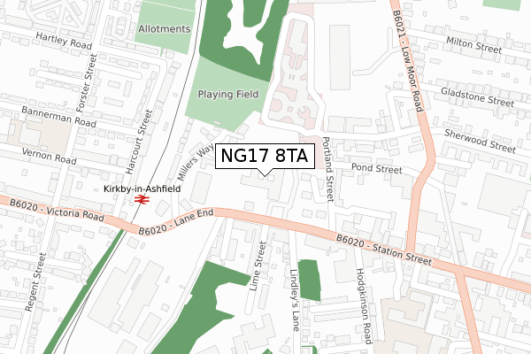
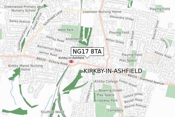
NG17 8TA is located in the Greenwood & Summit electoral ward, within the local authority district of Ashfield and the English Parliamentary constituency of Ashfield. The Sub Integrated Care Board (ICB) Location is NHS Nottingham and Nottinghamshire ICB - 52R and the police force is Nottinghamshire. This postcode has been in use since September 2017.


GetTheData
Source: OS Open Zoomstack (Ordnance Survey)
Licence: Open Government Licence (requires attribution)
Attribution: Contains OS data © Crown copyright and database right 2025
Source: Open Postcode Geo
Licence: Open Government Licence (requires attribution)
Attribution: Contains OS data © Crown copyright and database right 2025; Contains Royal Mail data © Royal Mail copyright and database right 2025; Source: Office for National Statistics licensed under the Open Government Licence v.3.0
| Easting | 450328 |
| Northing | 356175 |
| Latitude | 53.100428 |
| Longitude | -1.249793 |
GetTheData
Source: Open Postcode Geo
Licence: Open Government Licence
| Country | England |
| Postcode District | NG17 |
➜ See where NG17 is on a map ➜ Where is Kirkby-in-Ashfield? | |
GetTheData
Source: Land Registry Price Paid Data
Licence: Open Government Licence
| Ward | Greenwood & Summit |
| Constituency | Ashfield |
GetTheData
Source: ONS Postcode Database
Licence: Open Government Licence
| Council Offices (Urban Road) | Kirkby In Ashfield | 79m |
| Council Offices (Urban Road) | Kirkby In Ashfield | 88m |
| Aldi (Car Park) | Kirkby In Ashfield | 112m |
| Community Hospital (Portland Street) | Kirkby In Ashfield | 130m |
| Harcourt Street | Kirkby In Ashfield | 258m |
| Kirkby in Ashfield Station | 0.2km |
| Sutton Parkway Station | 1.5km |
| Newstead Station | 3.9km |
GetTheData
Source: NaPTAN
Licence: Open Government Licence
GetTheData
Source: ONS Postcode Database
Licence: Open Government Licence


➜ Get more ratings from the Food Standards Agency
GetTheData
Source: Food Standards Agency
Licence: FSA terms & conditions
| Last Collection | |||
|---|---|---|---|
| Location | Mon-Fri | Sat | Distance |
| Urban Road | 16:30 | 11:45 | 103m |
| Diamond Avenue | 18:30 | 11:45 | 409m |
| St Johns Avenue | 17:30 | 11:45 | 670m |
GetTheData
Source: Dracos
Licence: Creative Commons Attribution-ShareAlike
The below table lists the International Territorial Level (ITL) codes (formerly Nomenclature of Territorial Units for Statistics (NUTS) codes) and Local Administrative Units (LAU) codes for NG17 8TA:
| ITL 1 Code | Name |
|---|---|
| TLF | East Midlands (England) |
| ITL 2 Code | Name |
| TLF1 | Derbyshire and Nottinghamshire |
| ITL 3 Code | Name |
| TLF15 | North Nottinghamshire |
| LAU 1 Code | Name |
| E07000170 | Ashfield |
GetTheData
Source: ONS Postcode Directory
Licence: Open Government Licence
The below table lists the Census Output Area (OA), Lower Layer Super Output Area (LSOA), and Middle Layer Super Output Area (MSOA) for NG17 8TA:
| Code | Name | |
|---|---|---|
| OA | E00142424 | |
| LSOA | E01027952 | Ashfield 008A |
| MSOA | E02005826 | Ashfield 008 |
GetTheData
Source: ONS Postcode Directory
Licence: Open Government Licence
| NG17 8AH | Urban Road | 98m |
| NG17 8RF | Millers Way | 123m |
| NG17 7AG | Portland Street | 138m |
| NG17 8AN | Erewash Street | 149m |
| NG17 8AJ | Lime Street | 174m |
| NG17 7AH | Pond Street | 184m |
| NG17 8AA | Lindleys Lane | 186m |
| NG17 7AJ | Hosiery Street | 186m |
| NG17 7AR | Station Street | 195m |
| NG17 7AB | Portland Street | 218m |
GetTheData
Source: Open Postcode Geo; Land Registry Price Paid Data
Licence: Open Government Licence