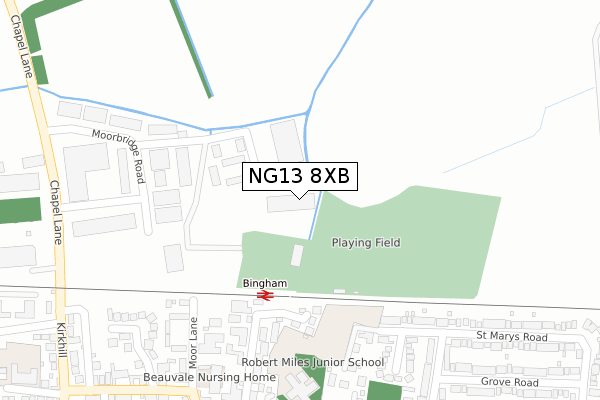
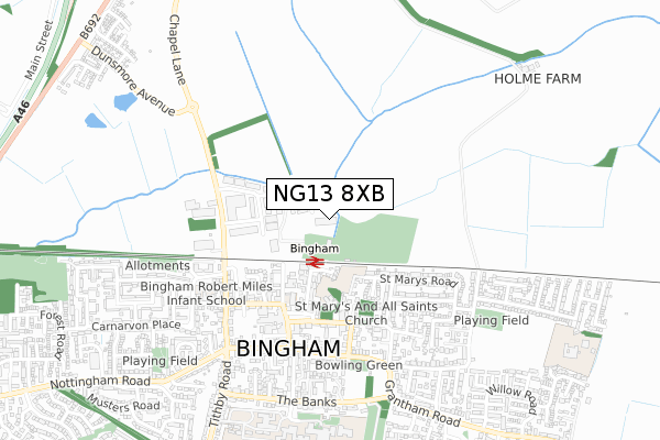
NG13 8XB lies on Ludgate Drive in East Bridgford, Nottingham. NG13 8XB is located in the Bingham North electoral ward, within the local authority district of Rushcliffe and the English Parliamentary constituency of Newark. The Sub Integrated Care Board (ICB) Location is NHS Nottingham and Nottinghamshire ICB - 52R and the police force is Nottinghamshire. This postcode has been in use since October 2018.


GetTheData
Source: OS Open Zoomstack (Ordnance Survey)
Licence: Open Government Licence (requires attribution)
Attribution: Contains OS data © Crown copyright and database right 2025
Source: Open Postcode Geo
Licence: Open Government Licence (requires attribution)
Attribution: Contains OS data © Crown copyright and database right 2025; Contains Royal Mail data © Royal Mail copyright and database right 2025; Source: Office for National Statistics licensed under the Open Government Licence v.3.0
| Easting | 470608 |
| Northing | 340322 |
| Latitude | 52.955656 |
| Longitude | -0.950418 |
GetTheData
Source: Open Postcode Geo
Licence: Open Government Licence
| Street | Ludgate Drive |
| Locality | East Bridgford |
| Town/City | Nottingham |
| Country | England |
| Postcode District | NG13 |
➜ See where NG13 is on a map ➜ Where is Bingham? | |
GetTheData
Source: Land Registry Price Paid Data
Licence: Open Government Licence
| Ward | Bingham North |
| Constituency | Newark |
GetTheData
Source: ONS Postcode Database
Licence: Open Government Licence
APARTMENT 3, WOODGATE GARDENS, LUDGATE DRIVE, EAST BRIDGFORD, NOTTINGHAM, NG13 8XB 2004 6 DEC £380,000 |
GetTheData
Source: HM Land Registry Price Paid Data
Licence: Contains HM Land Registry data © Crown copyright and database right 2025. This data is licensed under the Open Government Licence v3.0.
| Market Place (Market Street) | Bingham | 383m |
| Market Place (Church Street) | Bingham | 412m |
| Moorbridge Road (Chapel Lane) | Bingham | 419m |
| Moorbridge Road (Chapel Lane) | Bingham | 425m |
| Kirkhill | Bingham | 445m |
| Bingham Station | 0.2km |
| Aslockton Station | 3.5km |
GetTheData
Source: NaPTAN
Licence: Open Government Licence
GetTheData
Source: ONS Postcode Database
Licence: Open Government Licence


➜ Get more ratings from the Food Standards Agency
GetTheData
Source: Food Standards Agency
Licence: FSA terms & conditions
| Last Collection | |||
|---|---|---|---|
| Location | Mon-Fri | Sat | Distance |
| Bingham Station | 17:00 | 09:00 | 185m |
| Bingham Ind Est | 18:30 | 381m | |
| Market Place Bingham | 17:15 | 10:00 | 421m |
GetTheData
Source: Dracos
Licence: Creative Commons Attribution-ShareAlike
The below table lists the International Territorial Level (ITL) codes (formerly Nomenclature of Territorial Units for Statistics (NUTS) codes) and Local Administrative Units (LAU) codes for NG13 8XB:
| ITL 1 Code | Name |
|---|---|
| TLF | East Midlands (England) |
| ITL 2 Code | Name |
| TLF1 | Derbyshire and Nottinghamshire |
| ITL 3 Code | Name |
| TLF16 | South Nottinghamshire |
| LAU 1 Code | Name |
| E07000176 | Rushcliffe |
GetTheData
Source: ONS Postcode Directory
Licence: Open Government Licence
The below table lists the Census Output Area (OA), Lower Layer Super Output Area (LSOA), and Middle Layer Super Output Area (MSOA) for NG13 8XB:
| Code | Name | |
|---|---|---|
| OA | E00144493 | |
| LSOA | E01028357 | Rushcliffe 002A |
| MSOA | E02005907 | Rushcliffe 002 |
GetTheData
Source: ONS Postcode Directory
Licence: Open Government Licence
| NG13 8TQ | Langtry Gardens | 206m |
| NG13 8TF | Old Mill Court | 223m |
| NG13 8AQ | Station Street | 239m |
| NG13 8GG | Moorbridge Road | 247m |
| NG13 8AA | Moor Lane | 283m |
| NG13 8DU | Church Close | 302m |
| NG13 8AS | Moor Lane | 314m |
| NG13 8AP | Market Place | 349m |
| NG13 8GE | Gillotts Close | 368m |
| NG13 8AL | Church Street | 373m |
GetTheData
Source: Open Postcode Geo; Land Registry Price Paid Data
Licence: Open Government Licence