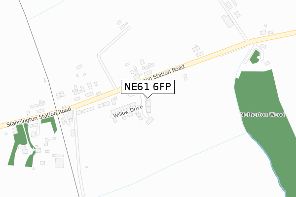
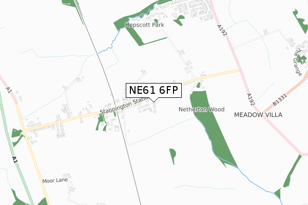
NE61 6FP is located in the Ponteland East and Stannington electoral ward, within the unitary authority of Northumberland and the English Parliamentary constituency of Hexham. The Sub Integrated Care Board (ICB) Location is NHS North East and North Cumbria ICB - 00L and the police force is Northumbria. This postcode has been in use since August 2019.


GetTheData
Source: OS Open Zoomstack (Ordnance Survey)
Licence: Open Government Licence (requires attribution)
Attribution: Contains OS data © Crown copyright and database right 2025
Source: Open Postcode Geo
Licence: Open Government Licence (requires attribution)
Attribution: Contains OS data © Crown copyright and database right 2025; Contains Royal Mail data © Royal Mail copyright and database right 2025; Source: Office for National Statistics licensed under the Open Government Licence v.3.0
| Easting | 422031 |
| Northing | 581603 |
| Latitude | 55.128322 |
| Longitude | -1.656055 |
GetTheData
Source: Open Postcode Geo
Licence: Open Government Licence
| Country | England |
| Postcode District | NE61 |
➜ See where NE61 is on a map | |
GetTheData
Source: Land Registry Price Paid Data
Licence: Open Government Licence
| Ward | Ponteland East And Stannington |
| Constituency | Hexham |
GetTheData
Source: ONS Postcode Database
Licence: Open Government Licence
| Railway Crossing (Stannington Station Road) | Stannington Station | 221m |
| Railway Crossing (Stannington Station Road) | Stannington Station | 224m |
| Netherton Wood (Stannington Station Road) | Stannington Station | 315m |
| Netherton Wood (Stannington Station Road) | Stannington Station | 316m |
| Nursery (Stannington Station Road) | Stannington Station | 666m |
| Morpeth Station | 4.2km |
| Cramlington Station | 5.8km |
GetTheData
Source: NaPTAN
Licence: Open Government Licence
GetTheData
Source: ONS Postcode Database
Licence: Open Government Licence


➜ Get more ratings from the Food Standards Agency
GetTheData
Source: Food Standards Agency
Licence: FSA terms & conditions
| Last Collection | |||
|---|---|---|---|
| Location | Mon-Fri | Sat | Distance |
| Thomas Taylor Homes | 16:15 | 08:45 | 969m |
| Netherton Road | 17:15 | 11:15 | 1,469m |
| Thornlea | 16:15 | 09:00 | 2,099m |
GetTheData
Source: Dracos
Licence: Creative Commons Attribution-ShareAlike
The below table lists the International Territorial Level (ITL) codes (formerly Nomenclature of Territorial Units for Statistics (NUTS) codes) and Local Administrative Units (LAU) codes for NE61 6FP:
| ITL 1 Code | Name |
|---|---|
| TLC | North East (England) |
| ITL 2 Code | Name |
| TLC2 | Northumberland, and Tyne and Wear |
| ITL 3 Code | Name |
| TLC21 | Northumberland |
| LAU 1 Code | Name |
| E06000057 | Northumberland |
GetTheData
Source: ONS Postcode Directory
Licence: Open Government Licence
The below table lists the Census Output Area (OA), Lower Layer Super Output Area (LSOA), and Middle Layer Super Output Area (MSOA) for NE61 6FP:
| Code | Name | |
|---|---|---|
| OA | E00139822 | |
| LSOA | E01027473 | Northumberland 015D |
| MSOA | E02005722 | Northumberland 015 |
GetTheData
Source: ONS Postcode Directory
Licence: Open Government Licence
| NE61 6NH | Station Road | 87m |
| NE61 6NJ | Station Road | 268m |
| NE61 6NL | Station Road | 297m |
| NE61 6DY | Station Road | 357m |
| NE61 6DZ | Station Road | 370m |
| NE61 6DU | Station Road | 376m |
| NE61 6NN | Station Road | 427m |
| NE61 6NQ | Station Road | 461m |
| NE61 6DT | Station Road | 462m |
| NE61 6DX | Station Road | 613m |
GetTheData
Source: Open Postcode Geo; Land Registry Price Paid Data
Licence: Open Government Licence