NE4 5BY maps, stats, and open data
- Home
- Postcode
- NE
- NE4
- NE4 5
NE4 5BY is located in the Arthur's Hill electoral ward, within the metropolitan district of Newcastle upon Tyne and the English Parliamentary constituency of Newcastle upon Tyne Central. The Sub Integrated Care Board (ICB) Location is NHS North East and North Cumbria ICB - 13T and the police force is Northumbria. This postcode has been in use since February 2020.
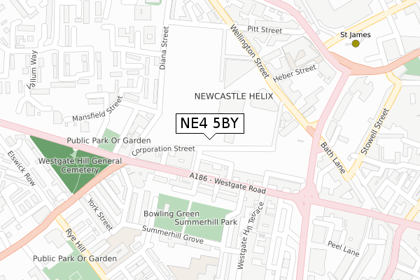
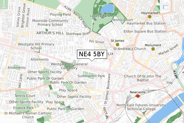
NE4 5BY maps


Source: OS Open Zoomstack (Ordnance Survey)
Licence: Open Government Licence (requires attribution)
Attribution: Contains OS data © Crown copyright and database right 2025
Source: Open Postcode GeoLicence: Open Government Licence (requires attribution)
Attribution: Contains OS data © Crown copyright and database right 2025; Contains Royal Mail data © Royal Mail copyright and database right 2025; Source: Office for National Statistics licensed under the Open Government Licence v.3.0
NE4 5BY geodata
| Easting | 423676 |
| Northing | 564482 |
| Latitude | 54.974400 |
| Longitude | -1.631671 |
Where is NE4 5BY?
| Country | England |
| Postcode District | NE4 |
Politics
| Ward | Arthur's Hill |
|---|
| Constituency | Newcastle Upon Tyne Central |
|---|
Transport
Nearest bus stops to NE4 5BY
| Stanhope Street-avison Street (Stanhope Street) | Arthur's Hill | 123m |
| Stanhope Street-moor House (Stanhope Street) | Arthur's Hill | 143m |
| Stanhope Street-social Club (Stanhope Street) | Arthur's Hill | 178m |
| Stanhope Street-social Club (Stanhope Street) | Arthur's Hill | 187m |
| Stanhope Street-clarewood Court (Stanhope Street) | Arthur's Hill | 202m |
Nearest underground/metro/tram to NE4 5BY
| St James (Tyne And Wear Metro Station) (Strawberry Place) | Newcastle Upon Tyne | 685m |
| Central Station (Tyne And Wear Metro Station) (Neville Street) | Newcastle Upon Tyne | 1,154m |
| Monument (Tyne And Wear Metro Station) (Blackett Street) | Newcastle Upon Tyne | 1,163m |
| Haymarket (Tyne And Wear Metro Station) (Percy Street) | Newcastle Upon Tyne | 1,190m |
Nearest railway stations to NE4 5BY
| Newcastle Station | 1.1km |
| Manors Station | 1.7km |
| Metrocentre Station | 2.8km |
Deprivation
95.3% of English postcodes are less deprived than
NE4 5BY:
Food Standards Agency
Three nearest food hygiene ratings to NE4 5BY (metres)
Black Sea Off Licence
Akbar's
Hotel Balmoral 358 Westgate Road
255m
Earthlings
Earthlings 94 Buckingham Street
274m
➜ Get more ratings from the Food Standards Agency
Nearest post box to NE4 5BY
| | Last Collection | |
|---|
| Location | Mon-Fri | Sat | Distance |
|---|
| Avison Street West | 17:45 | 12:00 | 84m |
| Hollywell Close | 17:45 | 12:00 | 195m |
| Stanhope Street | 17:30 | 12:00 | 270m |
NE4 5BY ITL and NE4 5BY LAU
The below table lists the International Territorial Level (ITL) codes (formerly Nomenclature of Territorial Units for Statistics (NUTS) codes) and Local Administrative Units (LAU) codes for NE4 5BY:
| ITL 1 Code | Name |
|---|
| TLC | North East (England) |
| ITL 2 Code | Name |
|---|
| TLC2 | Northumberland, and Tyne and Wear |
| ITL 3 Code | Name |
|---|
| TLC22 | Tyneside |
| LAU 1 Code | Name |
|---|
| E08000021 | Newcastle upon Tyne |
NE4 5BY census areas
The below table lists the Census Output Area (OA), Lower Layer Super Output Area (LSOA), and Middle Layer Super Output Area (MSOA) for NE4 5BY:
| Code | Name |
|---|
| OA | E00042586 | |
|---|
| LSOA | E01008399 | Newcastle upon Tyne 024D |
|---|
| MSOA | E02001731 | Newcastle upon Tyne 024 |
|---|
Nearest postcodes to NE4 5BY


