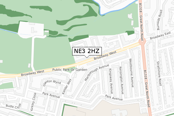
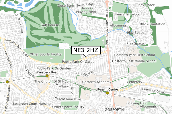
NE3 2HZ is located in the Parklands electoral ward, within the metropolitan district of Newcastle upon Tyne and the English Parliamentary constituency of Newcastle upon Tyne North. The Sub Integrated Care Board (ICB) Location is NHS North East and North Cumbria ICB - 13T and the police force is Northumbria. This postcode has been in use since January 2020.


GetTheData
Source: OS Open Zoomstack (Ordnance Survey)
Licence: Open Government Licence (requires attribution)
Attribution: Contains OS data © Crown copyright and database right 2025
Source: Open Postcode Geo
Licence: Open Government Licence (requires attribution)
Attribution: Contains OS data © Crown copyright and database right 2025; Contains Royal Mail data © Royal Mail copyright and database right 2025; Source: Office for National Statistics licensed under the Open Government Licence v.3.0
| Easting | 423456 |
| Northing | 569173 |
| Latitude | 55.016564 |
| Longitude | -1.634727 |
GetTheData
Source: Open Postcode Geo
Licence: Open Government Licence
| Country | England |
| Postcode District | NE3 |
➜ See where NE3 is on a map ➜ Where is Newcastle upon Tyne? | |
GetTheData
Source: Land Registry Price Paid Data
Licence: Open Government Licence
| Ward | Parklands |
| Constituency | Newcastle Upon Tyne North |
GetTheData
Source: ONS Postcode Database
Licence: Open Government Licence
| Wansbeck Road | Coxlodge | 196m |
| Kingston Park Road-shaftoe Court (Kingston Park Road) | Fawdon | 205m |
| Wansbeck Road | Coxlodge | 214m |
| Broadway West-playing Fields (Broadway West) | Gosforth | 257m |
| Kingston Park Road-shaftoe Court (Kingston Park Road) | Fawdon | 274m |
| Wansbeck Road (Tyne And Wear Metro Station) (Wansbeck Road North) | Coxlodge | 263m |
| Fawdon (Tyne And Wear Metro Station) (Fawdon Lane) | Fawdon | 707m |
| Regent Centre (Tyne And Wear Metro Station) (Great North Road) | Regent Centre | 974m |
| Manors Station | 5.2km |
| Newcastle Airport Metro | 5.3km |
GetTheData
Source: NaPTAN
Licence: Open Government Licence
GetTheData
Source: ONS Postcode Database
Licence: Open Government Licence


➜ Get more ratings from the Food Standards Agency
GetTheData
Source: Food Standards Agency
Licence: FSA terms & conditions
| Last Collection | |||
|---|---|---|---|
| Location | Mon-Fri | Sat | Distance |
| Lesbury Chase | 17:30 | 11:00 | 224m |
| Wansbeck Road | 17:30 | 11:15 | 362m |
| Broadway West | 17:30 | 12:00 | 730m |
GetTheData
Source: Dracos
Licence: Creative Commons Attribution-ShareAlike
The below table lists the International Territorial Level (ITL) codes (formerly Nomenclature of Territorial Units for Statistics (NUTS) codes) and Local Administrative Units (LAU) codes for NE3 2HZ:
| ITL 1 Code | Name |
|---|---|
| TLC | North East (England) |
| ITL 2 Code | Name |
| TLC2 | Northumberland, and Tyne and Wear |
| ITL 3 Code | Name |
| TLC22 | Tyneside |
| LAU 1 Code | Name |
| E08000021 | Newcastle upon Tyne |
GetTheData
Source: ONS Postcode Directory
Licence: Open Government Licence
The below table lists the Census Output Area (OA), Lower Layer Super Output Area (LSOA), and Middle Layer Super Output Area (MSOA) for NE3 2HZ:
| Code | Name | |
|---|---|---|
| OA | E00042360 | |
| LSOA | E01008352 | Newcastle upon Tyne 002C |
| MSOA | E02001709 | Newcastle upon Tyne 002 |
GetTheData
Source: ONS Postcode Directory
Licence: Open Government Licence
| NE3 2NJ | Broadway West | 125m |
| NE3 2NL | Ford Grove | 173m |
| NE3 2NN | Lesbury Chase | 188m |
| NE3 2ND | Chatton Wynd | 193m |
| NE3 2LH | Park Avenue | 199m |
| NE3 2LR | Wansbeck Road | 201m |
| NE3 2NR | Budle Close | 231m |
| NE3 2LS | Aln Avenue | 233m |
| NE3 2LT | Tarset Place | 254m |
| NE3 2NS | Park Avenue | 269m |
GetTheData
Source: Open Postcode Geo; Land Registry Price Paid Data
Licence: Open Government Licence